
Analyze and prepare geospatial data in Global Mapper. Open the project in MAPublisher with spatial referencing and styling preserved. Exclusively on Global Mapper Advanced or Professional subscription.
Bringing MAPublisher and Global Mapper together adds new capabilities and more continuity to your workflow. Here’s what you need to know:
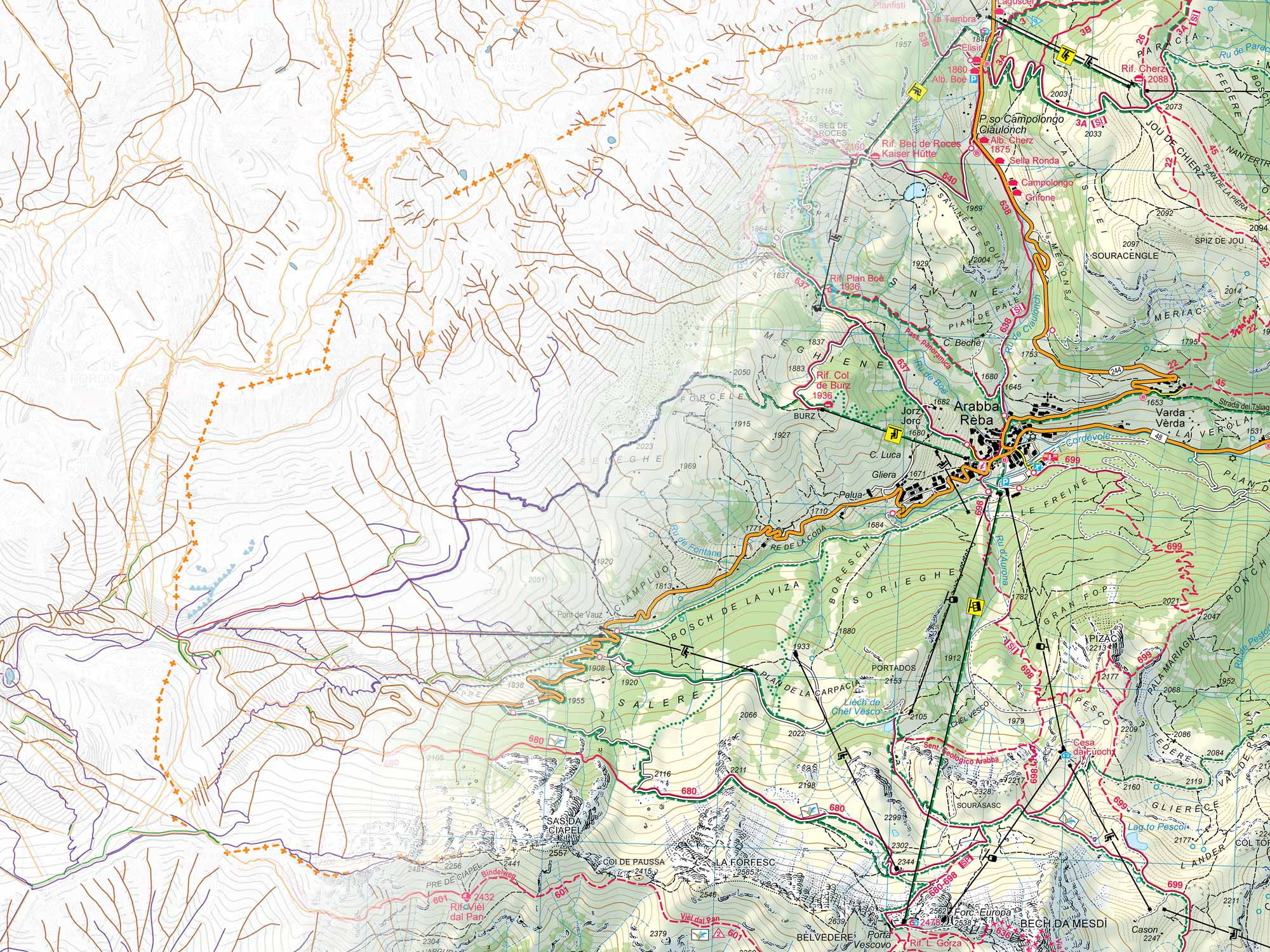
Prepare and analyze data in Global Mapper, then open that same project in MAPublisher with the coordinate system and vector styling already applied. Line colors and weights carry across, so styling decisions survive into the design work.
Beginning October 1, MAPublisher will not be sold individually. It will be available exclusively as part of Global Mapper Advanced and Professional subscriptions. MAPublisher is not going away. Only the way you purchase it is changing.
To receive new MAPublisher versions and updates, you will need a Global Mapper Advanced or Professional subscription. Without a subscription, your currently installed version will continue running but will not receive new feature releases.
A full GIS application on the same license as your cartography tools, for the work that happens before geospatial data reaches Illustrator.
Open every file, from any datasource
Open 300+ formats with no conversion step and no add-on license.
One geodetic engine across our applications
Every application draws on GeoCalc, Blue Marble’s own geodetic engine — so coordinate systems and datums are defined consistently, everywhere you work.
Work with data too heavy for a design environment
Smooth, simplify, remove duplicates, and cut vertex counts before the file ever reaches Illustrator.
Turn raw data into a pattern your reader can act on
Classify features by attribute value, calculate new attributes from existing ones, and simplify vertex-heavy geometry, so the data is organized and ready to style the moment it reaches Illustrator.


Save the project in Global Mapper. Open it in MAPublisher. Rasters and vectors arrive together, georeferenced, with line colors and weights already applied.
The styling decisions you make during the data work survive into the design work, so you pick up in Illustrator where you left off.
Once the design is finalized, export the completed map in your preferred format for whatever comes next. For deployment in the field, export to Avenza Maps*, where it arrives georeferenced and ready for data collection, no signal required.
*Avenza Maps is licensed separately.
MAPublisher is included with Advanced and Professional subscriptions.
Essentials is shown for reference and does not include MAPublisher.
For occasional and data-prep users
Data viewing and format conversion
Geodetics engine
Access to Streamed Online Data Sources
Everything in Essentials, plus:
Terrain and vector analysis
Scripting and Automation
Embedded advanced geodetic analysis
Geographic Calculator standalone application
Everything in Advanced, plus:
Lidar and point cloud processing
Drone photogrammetry
Complex imagery and raster analysis
Breakline extraction
AI/ML image classification
Included with every subscription
The Blue Marble Hub provides expert help when you need it, a full training library whenever you want it, and license administration you run yourself. No more key tracking and no separate maintenance contract to renew.
Get answers from GIS and cartography experts
Live chat and email support, answered by people who work in GIS and cartography.
Learn the workflow on your own schedule
Interactive courses and video tutorials in the virtual training library.
Keep your tools current without opening a ticket
Manage your licenses, payments, and users in one place, whether you run one seat or fifty.
Sign in once across Blue Marble products
Use your existing Apple, Google, or Microsoft account.
Register on this page today.
Receive a discount code via email when Global Mapper subscriptions open for purchase.
Complete your purchase online within 30 days of receiving the code.
Your code is good for 30 days from the day you receive it. Complete your purchase inside that window to get 20% off your first year.
Hold an active Maintenance & Support contract? Your remaining term is accounted for in what you pay, and the 20% applies to the remainder. Buying inside the 30-day window does not cost you the term you have already paid for.
Bought through a reseller or an account manager? Register here and we will connect you with them to apply the discount.


