Success Stories
Real-World Geospatial Success Stories
Blue Marble’s products are used across some of the most demanding geospatial environments in the world. These success stories reflect how teams in AEC, energy, forestry, surveying, government, and emergency services apply Blue Marble to solve real problems, from the office through field execution and back.

600,000 Acres. Every Forester with the Right Map.
Huber Resources Corp equipped eight district foresters across 600,000 acres with office-prepared maps using Avenza Maps, streamlining field navigation and certification record keeping.
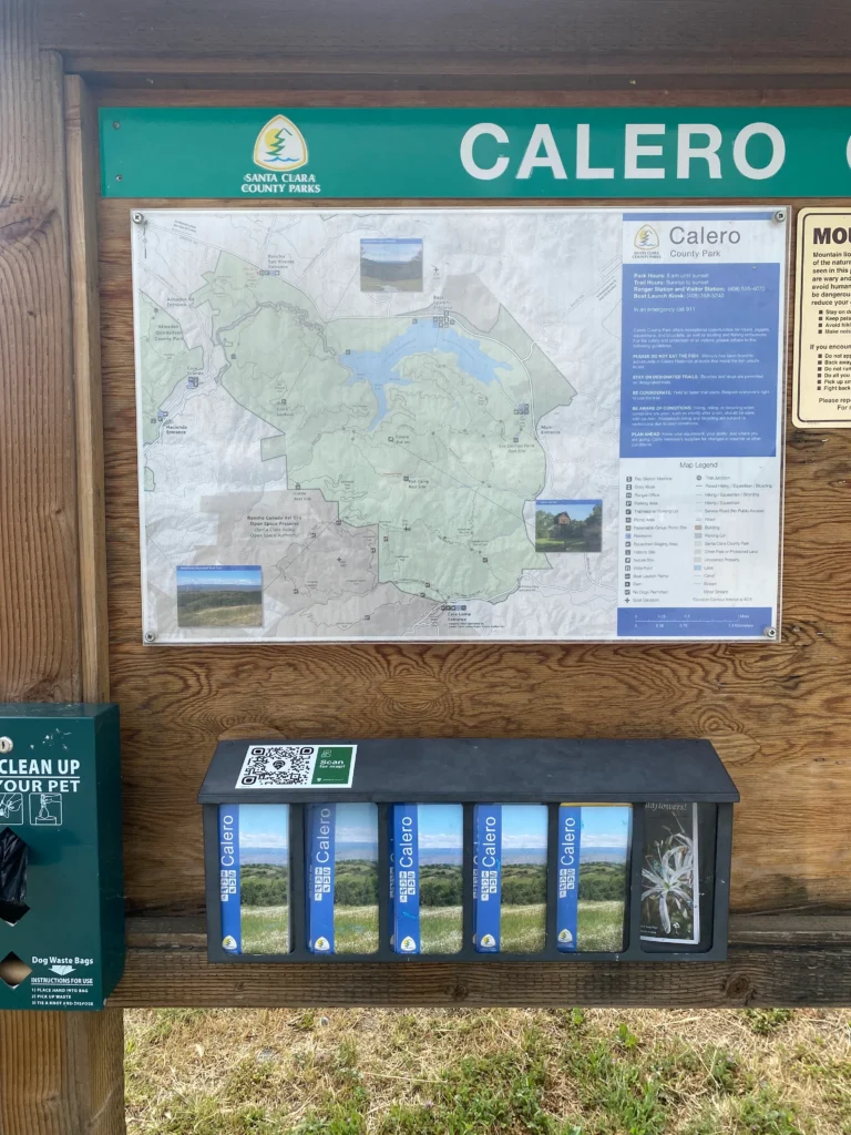
29 Parks. 52,000 Acres. One Authoritative Map Source.
Santa Clara County Parks replaced paper maps with a single digital workflow across 29 parks and 52,000 acres, giving every ranger and visitor access to current maps via Avenza Maps.
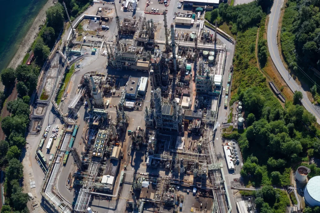
Scaling Coordinate Accuracy Across the Enterprise
See how Suncor Energy scaled millimeter-level coordinate accuracy from a small geomatics team to thousands of users across a large oil sands operation using Global Mapper. Read the success story.

From Survey Planning to Field Execution, in One Platform
Learn how Bintang Subsea Indonesia used Global Mapper to plan, execute, and analyze a precision Red Sea seafloor survey in one platform, from georeferenced route planning through 3D multibeam analysis.

Mapping Rare Bigtooth Maple Habitat Across 4.4 Million Acres
Discover how Texas Parks & Wildlife used Global Mapper to identify likely Bigtooth Maple habitat across 4.4 million acres using lidar terrain analysis, directing field botanists to the highest-probability survey locations.

From Office Models to Field Execution: Predictable Mine Rehabilitation
Discover how mine rehabilitation engineer Brett Rhodes used Global Mapper to unlock more than $300 million in recoverable ore, reduce rehabilitation costs by $1.7 million, and validate designs before construction began.

Better Design Starts Before Breaking Ground
See how BayWa R.E. Wind used Avenza Maps to verify wind farm designs in remote locations before construction, eliminating manual reconciliation and reducing downstream design errors.
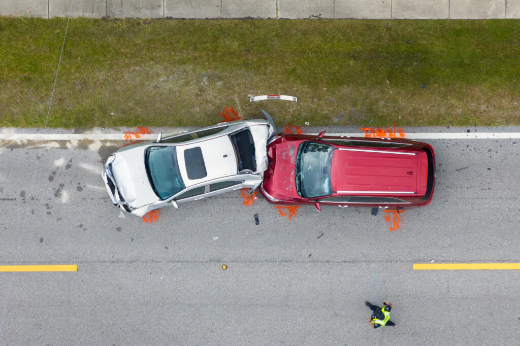
From Crash Scene to Courtroom. In Under an Hour.
Discover how the Windham Police Department cut crash scene processing from 2+ hours to 30-45 minutes using Global Mapper's photogrammetry tools.


