Skip Navigation

Capture Data in the Field. Trust it in the Office.

Reliable decisions begin with reliable field data. Avenza Maps enables field teams to capture GPS-tagged observations, photos, markups, and structured field data directly on the map, so every record arrives back at the office ready for analysis, reporting, and faster operational decision making.
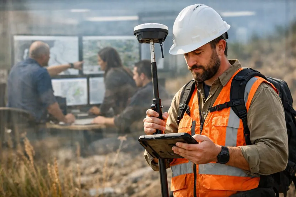
Structured capture. Spatial precision. Offline by default.

When the network fails, collection does not stop. Every observation, photo, and placemark is captured directly on the georeferenced map, GPS-tagged, and structured from the moment of collection, reducing manual cleanup while accelerating the transition from fieldwork to analysis.
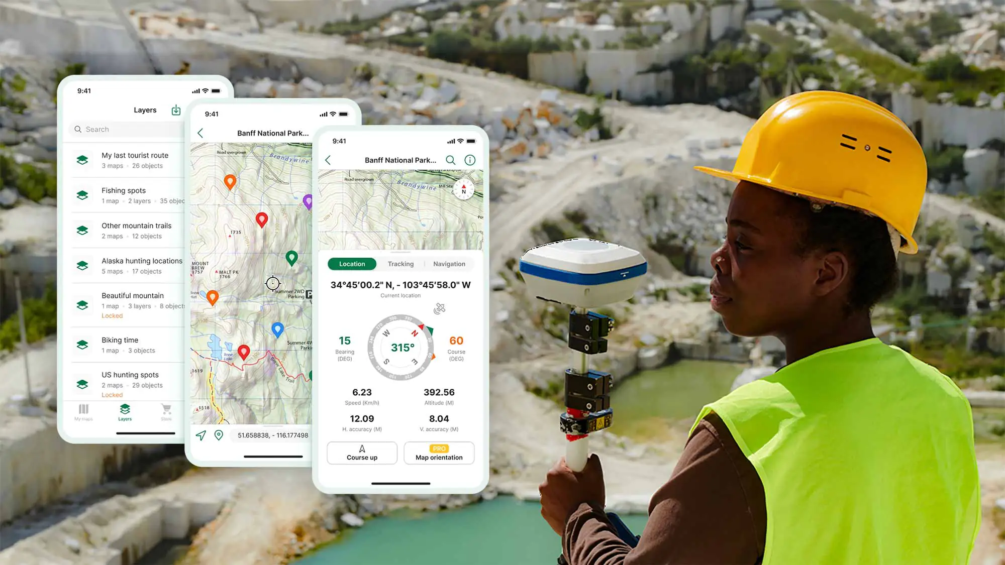
Place point, line, and polygon features directly on the map with automatic coordinate capture tied to your device or connected GPS receiver. Every observation is spatially anchored the moment it is recorded, preserving location accuracy and eliminating the need to reconstruct where field work occurred once teams return to the office.
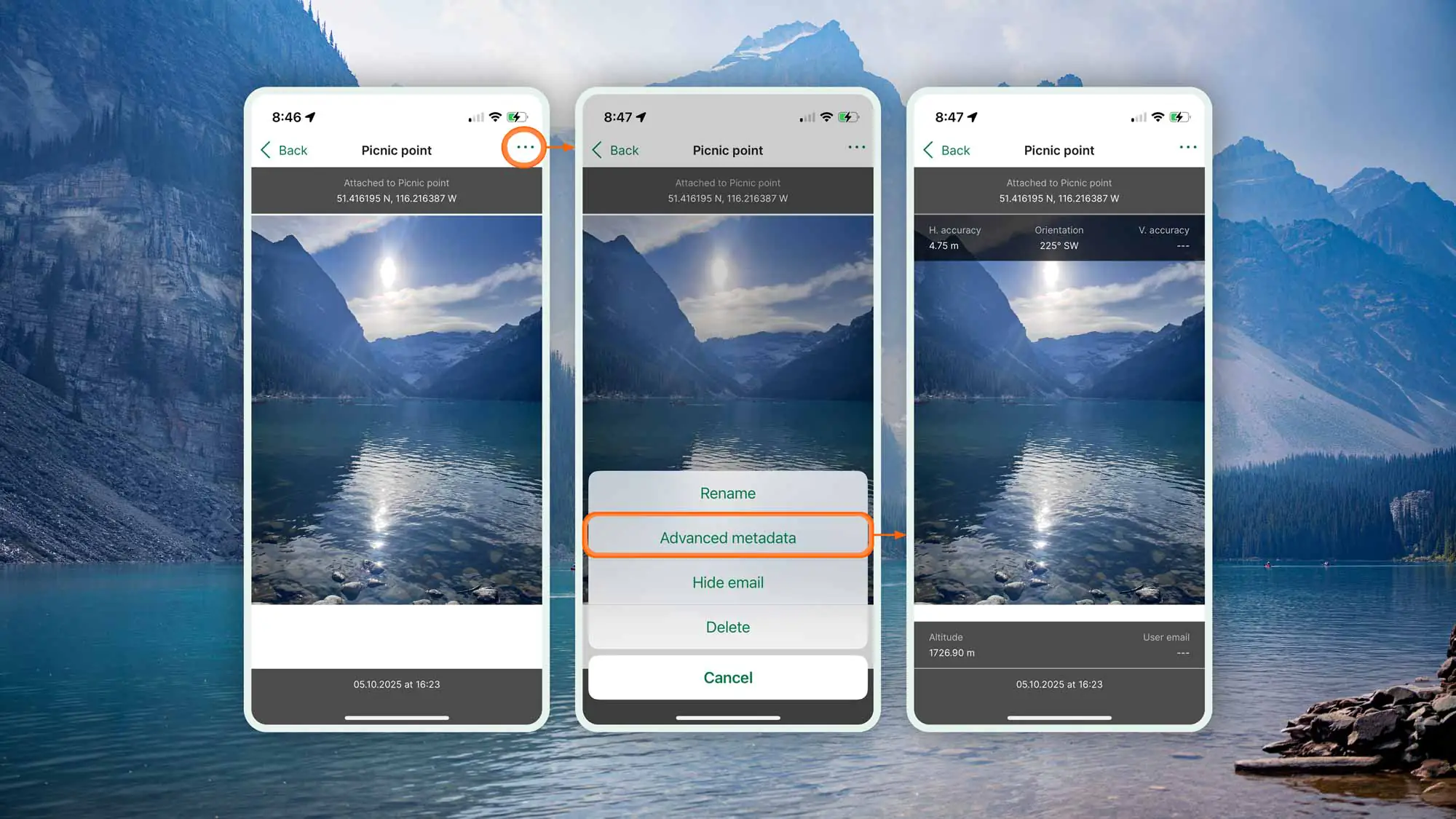
Attach georeferenced photos to map features at the moment of collection. Each image is tied to an exact coordinate, providing visual documentation with full spatial context so inspectors, analysts, and decision makers can understand exactly what was observed and where.
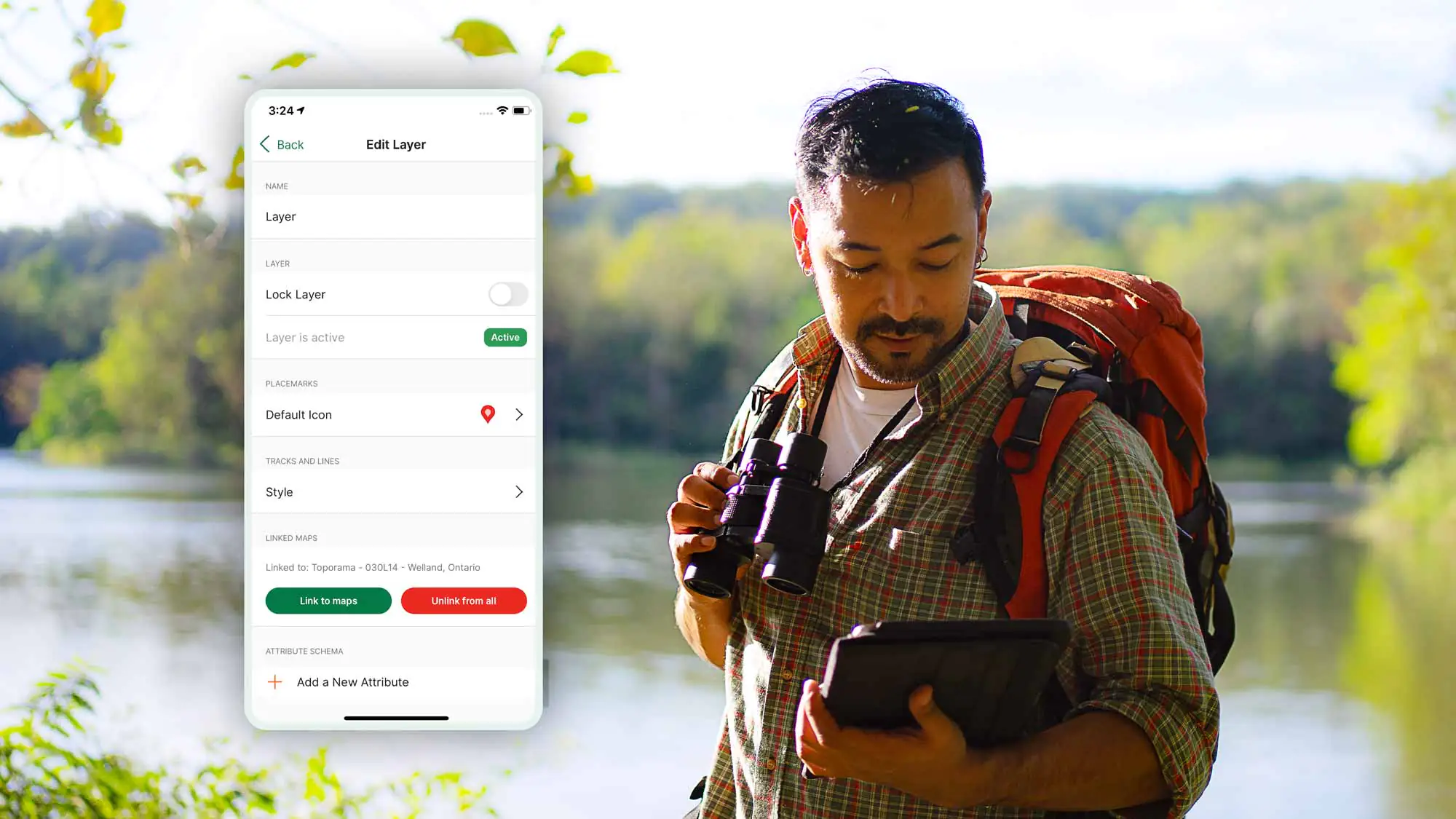
Define the attributes your team collects before the job starts. Structured forms keep observations consistent across team members, sites, and shifts, improving data quality while reducing manual cleanup and making collected information immediately ready for GIS analysis and reporting.
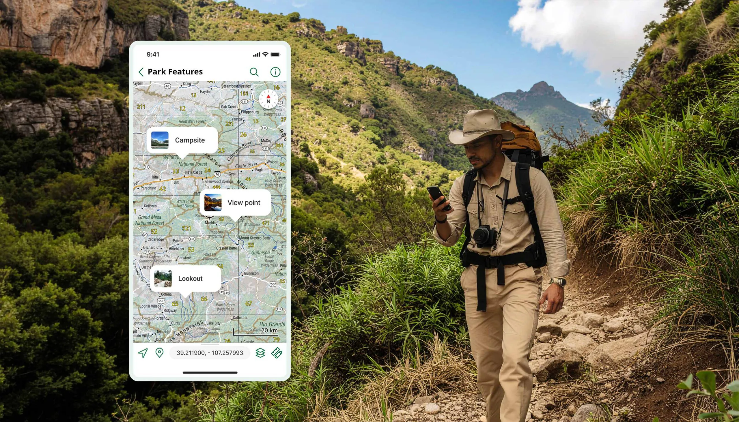
Add markups, labels, and freehand annotations directly on the map layer. Everything marked in the field is preserved on the map and returns to the office exactly as captured, with no loss of spatial fidelity.
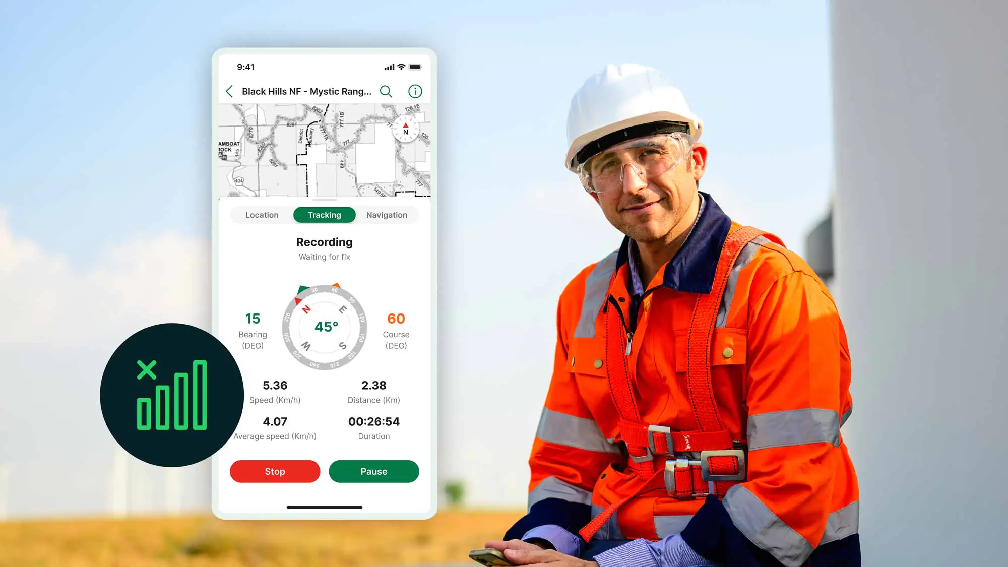
Keep collecting, even when connectivity disappears. Capture GPS-tagged observations, photos, and structured field data entirely offline using georeferenced maps. When connectivity returns, synchronize completed work back to the office without losing spatial context or collection history.
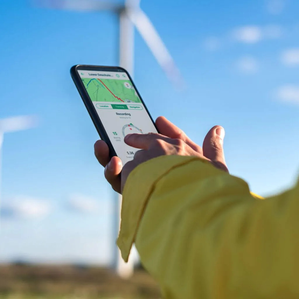
From reliable collection to better decisions

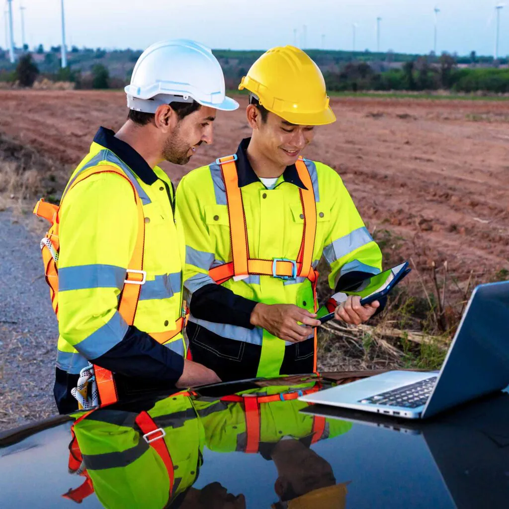
Avenza Maps - Renewable Energy

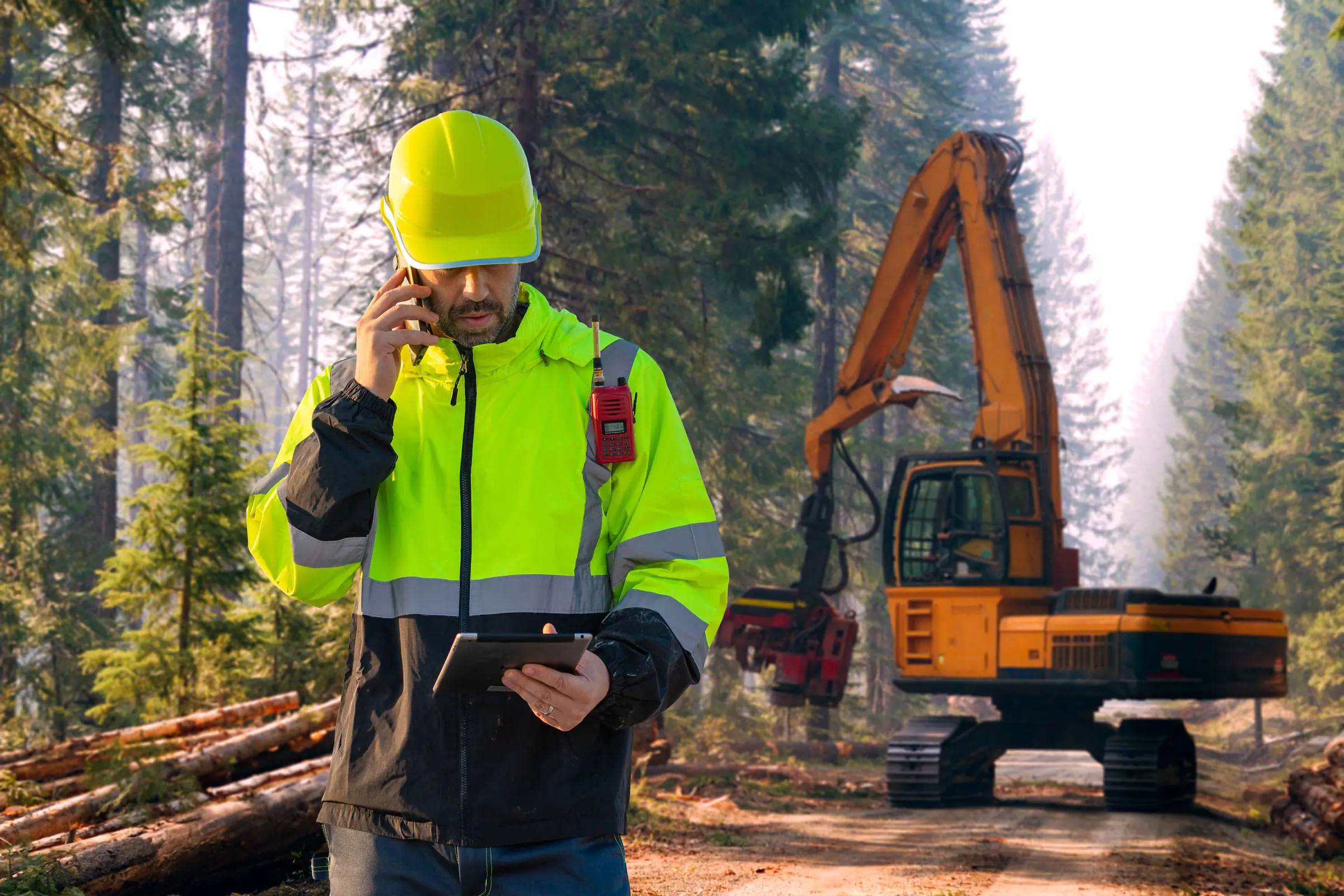
Foresters work across vast, remote landscapes where reliable connectivity cannot be assumed. Avenza Maps enables crews to capture GPS-tagged observations, inspections, and inventory data directly on offline maps, returning structured field records ready for planning, reporting, and sustainable forest management.

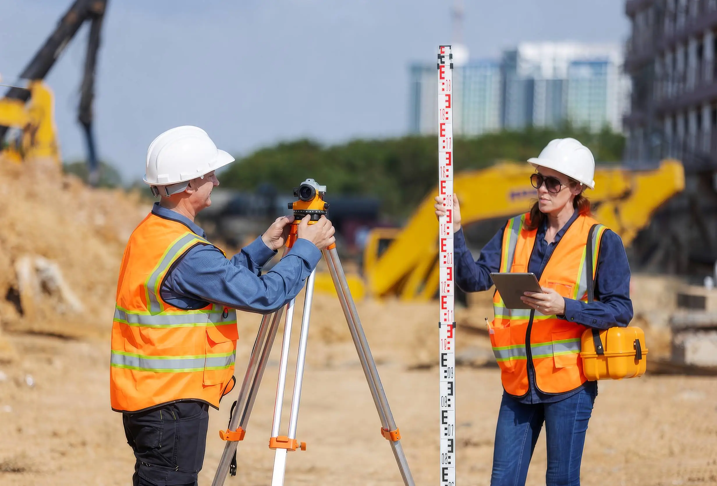
Survey work requires observations that are spatially accurate and consistently structured from the moment of capture. Avenza Maps ties every recorded point, line, and attribute directly to a verified coordinate, so field data arrives back at the office ready for analysis without additional cleanup or reconciliation.

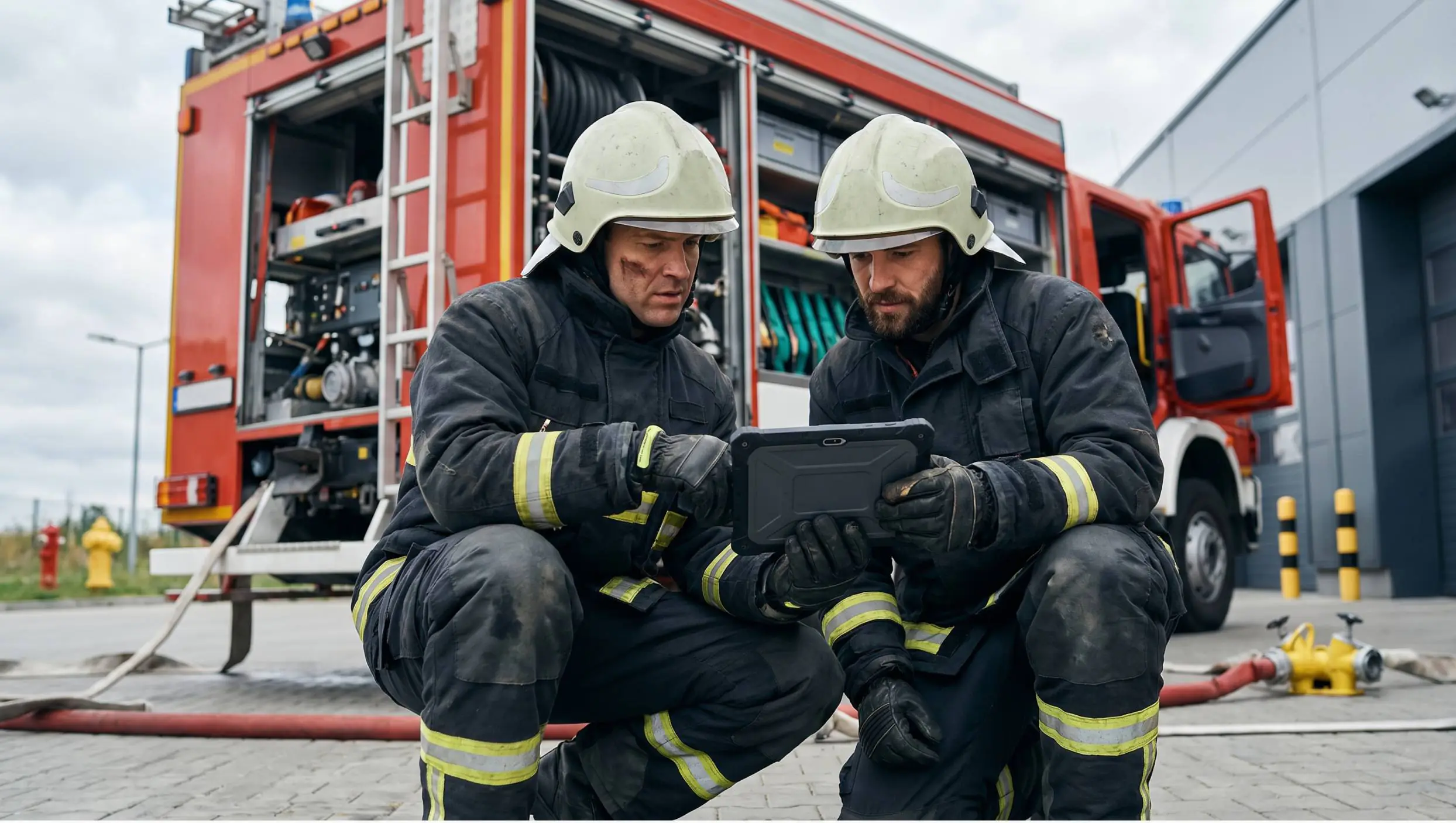
In time-sensitive deployments, there is no margin for data that needs cleanup after the fact. Field teams capture observations, photos, and markups as conditions develop, creating a reliable operational picture that can be shared and acted on quickly. The result is faster operational decisions and more complete post-incident documentation.

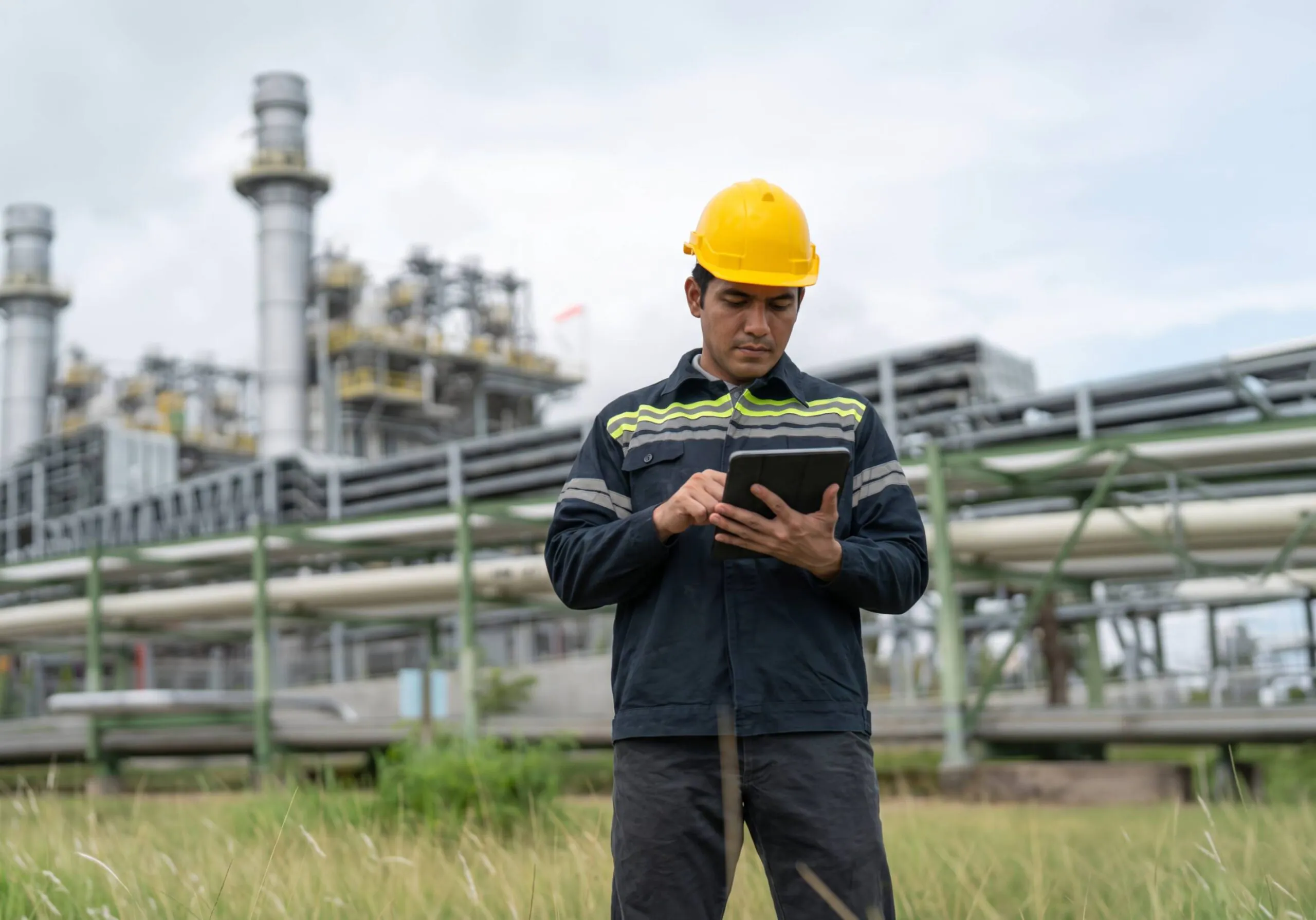
Infrastructure inspection across remote or sprawling sites demands consistent, attributable data from every team member in the field. Custom data forms keep observations structured across shifts and locations, so collected records arrive back ready for reporting without additional processing, empowering accelerated inspections, improved compliance reporting, and consistent records across distributed field teams.

Frequently asked questions

Avenza Maps supports the collection of points, lines, polygons, GPS tracks, photos, freehand markups, and custom attribute data. Every observation is GPS-tagged and tied to its georeferenced map, providing the spatial context needed for analysis, reporting, and decision making.

Because field teams often work in various environments, including challenging ones, reliable field data should never depend on cellular coverage. Offline collection allows teams to capture observations with the same accuracy and consistency whether they’re working in urban environments, remote forests, pipeline corridors, or disaster response areas.

Yes. Custom data forms are configured before deployment so your team captures exactly the information each workflow requires. Standardized forms help ensure observations remain consistent across users, projects, and devices, reducing cleanup once data returns to the office.

Yes. Avenza Maps is purpose-built for offline-first fieldwork. Teams can collect observations, navigate with GPS, and work from georeferenced maps without an internet or cellular connection. Once connectivity is restored, collected data can be integrated back to office workflows.

Accuracy depends on your device’s GPS. For higher-precision work, Avenza Maps supports external GPS receivers to meet survey-grade collection requirements.

Yes. Avenza Maps scales from small field crews to large enterprise deployments. Custom forms, standardized data structures, and ease of license management help organizations coordinate data collection across multiple teams while maintaining data quality and consistency.

Collected field data exports in industry-standard formats compatible with Global Mapper and other GIS platforms. GPS-tagged observations, photos, and custom attributes retain their spatial context, allowing organizations to move efficiently from field collection to office analysis without manual reconciliation.

Traditional field collection often relies on handwritten notes, spreadsheets, or disconnected applications that require manual transcription once work is complete. GIS field data collection captures observations directly on a georeferenced map, automatically associating every record with its location. The result is more accurate data, faster reporting, and a smoother transition from field collection to office analysis.

GIS field data collection is the process of capturing location-based observations directly where work occurs. To do so, field teams record GPS-tagged placemarks, lines, polygons, photos, and custom attributes that become immediately associated with their geographic location.

By collecting structured geospatial information at the source, and even in offline environments, organizations improve data quality, reduce manual transcription, and accelerate the transition from field observations to office analysis.

GPS-tagged field data combines observations with precise geographic coordinates captured at the time of collection. Every photo, note, inspection record, or mapped feature is automatically linked to its real-world location, providing valuable spatial context that supports analysis, reporting, and future decision making