Industries
Emergency Management GIS Software
Blue Marble’s emergency management GIS software connects command post planning with field response. Global Mapper and Avenza Maps provide a complete office-to-field workflow, enabling reliable response operations even when connectivity is unavailable.
Common emergency services workflow challenges

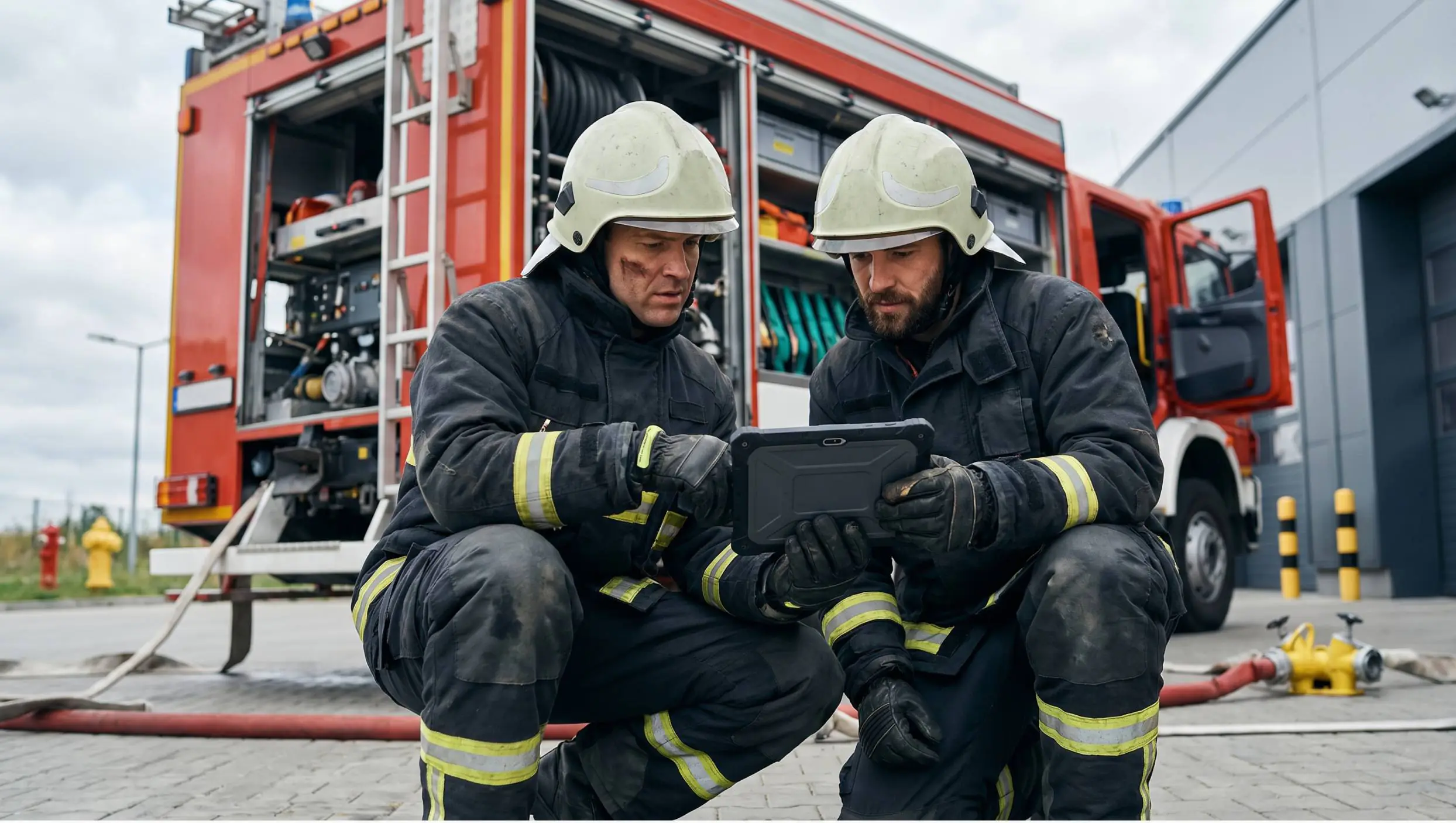
Maps Go Stale Before the Briefing Ends
Static maps can’t keep up with shifting perimeters, flood extents, or access conditions. Field teams deploy with outdated information.
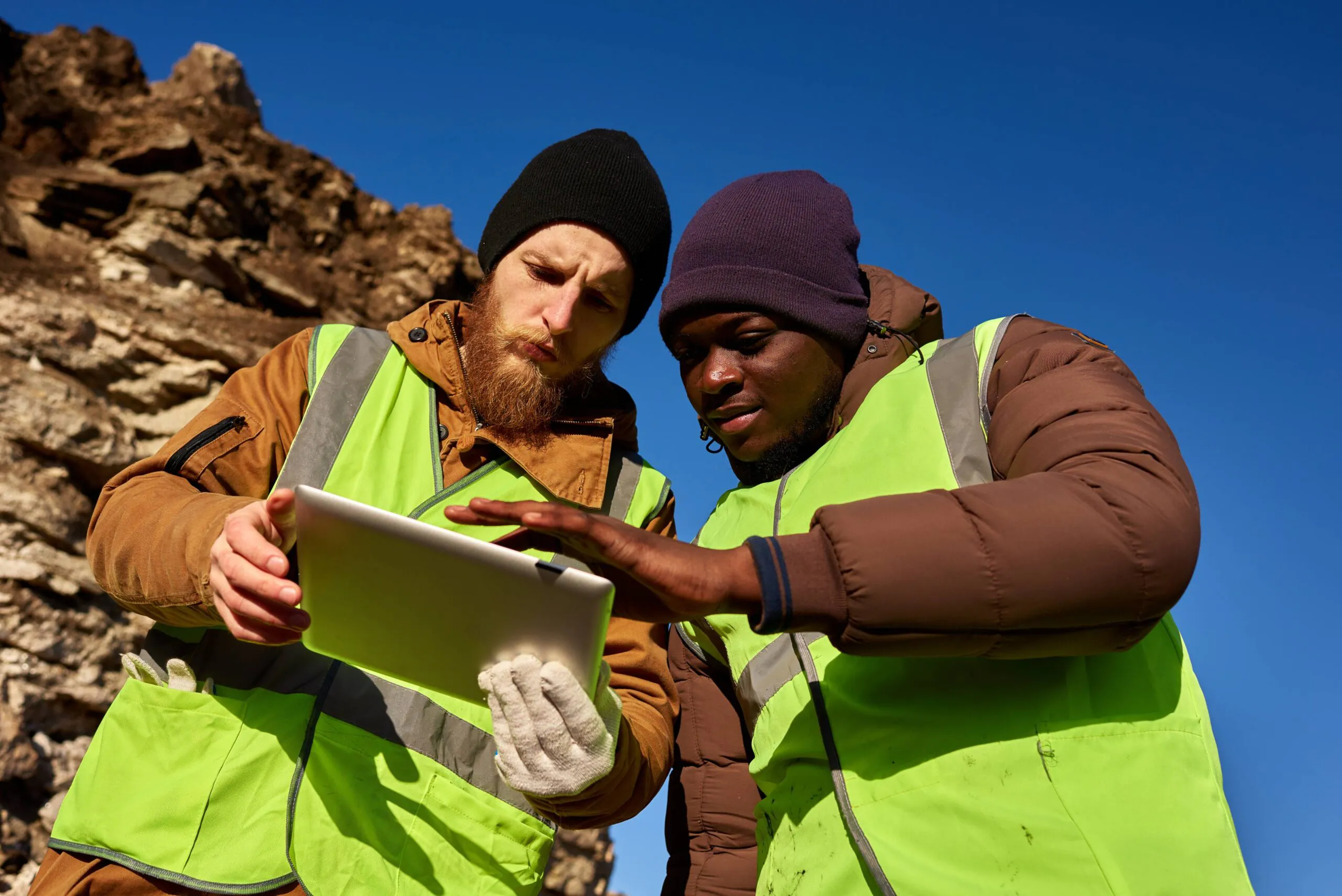
Connectivity Fails when the Mission is Active
Fire lines, search zones, and disaster areas rarely have reliable signal. Field teams need verified maps that work without a network.
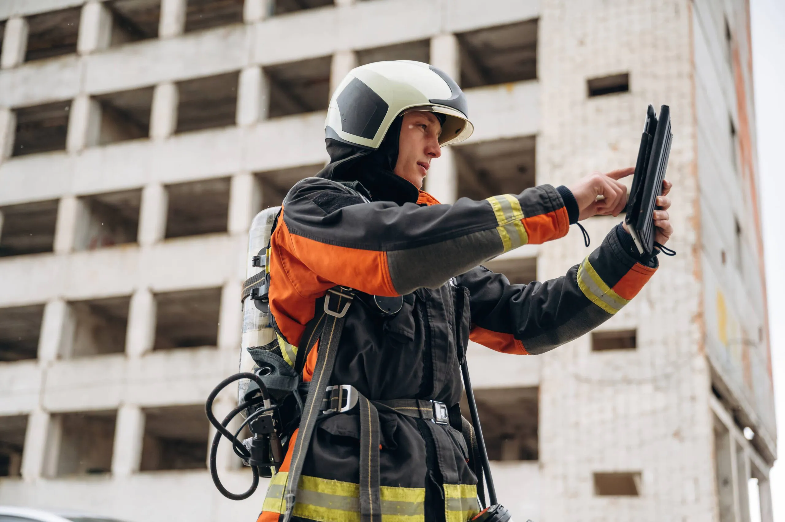
Critical Information Doesn’t Make it Back to Command
Photos, damage assessments, and field updates are often scattered across devices, emails, and reports. Incident commanders need structured, location-aware information they can act on immediately.
Workflow

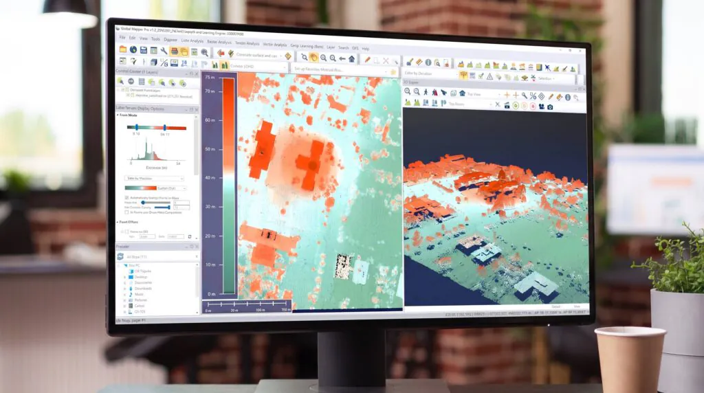
Process site data
Lidar, drone imagery, and terrain inputs


Analyze & validate
Viewsheds, flood simulations, access route analysis

Prepare for field
Package verified maps for offline mobile deployment

Execute in the field
Navigate, capture observations, and log conditions in real time
From analysis to action
Blue Marble connects command post planning with field execution. Global Mapper prepares and validates the maps. Avenza Maps puts them on field devices, offline-ready and available before teams deploy.
Office

Process, model, and prepare verified spatial data before teams deploy.
Field
Navigate, capture observations, and log conditions anywhere in the operational area, with or without connectivity.
Emergency response depends on spatial data that holds up under field conditions. Global Mapper gives your team the processing power to handle lidar, drone imagery, terrain analysis, and flood modeling before operations begin. When field teams deploy, Avenza Maps puts verified, georeferenced maps in their hands, offline-ready and GPS-enabled, so command post planning translates directly into field execution.
Key outcomes
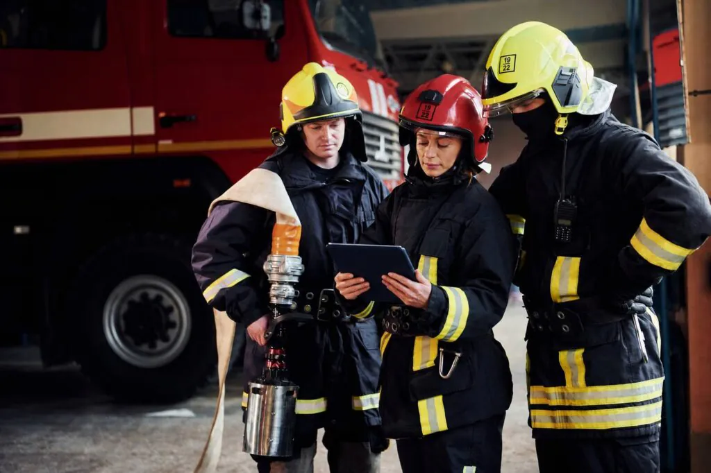
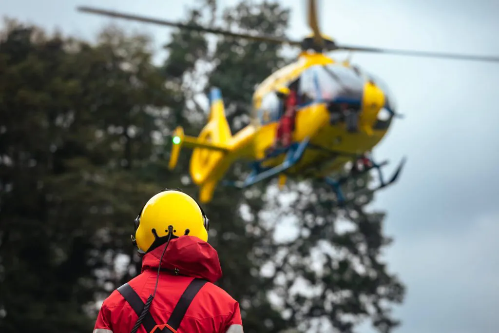
Purpose built for emergency services
Emergency response leaves little room for uncertainty.
Blue Marble helps organizations prepare accurate operational data, deploy verified maps to field teams, and maintain a reliable flow of information throughout the incident lifecycle. From planning and response to documentation and after-action review, Global Mapper and Avenza Maps help teams operate with greater confidence when conditions are changing fastest.

Blog posts
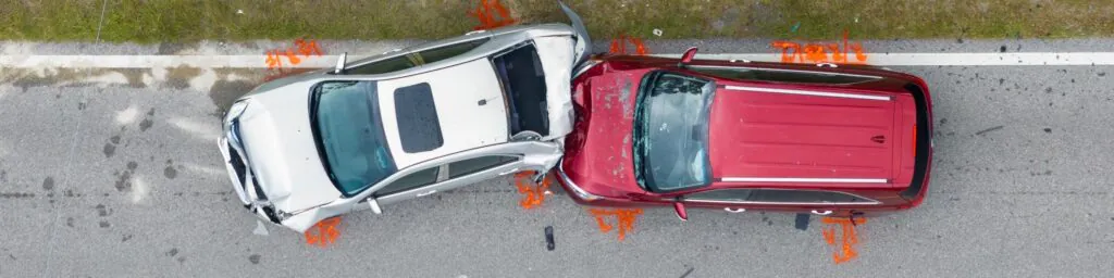
How Drone Mapping Assists Police Investigations
Forensic mapping specialists from the Windham, ME, Police Department use drones alongside GIS software to analyze vehicle crash sites and crime scenes. Detective Eugene Gallant and Captain Jason Burke shared…
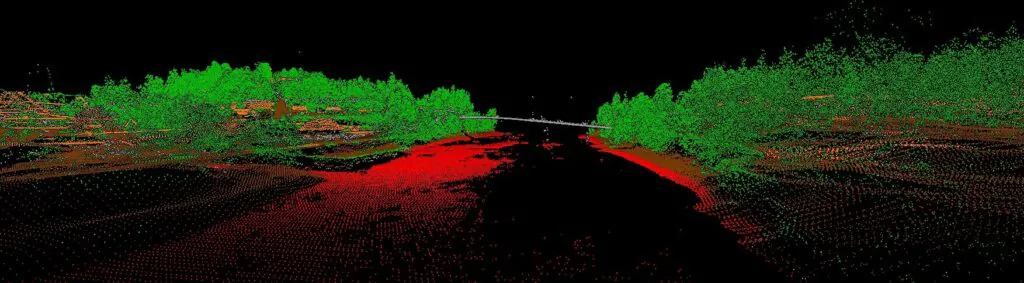
How to Improve Lidar Accuracy and Quality
As with any commodity or raw material, the quality of point cloud data, such as lidar, directly affects the quality of its derivative products. A point cloud with positional accuracy…

Bring Your Data to Life: Visualizing Data in Global Mapper
Global Mapper® is a comprehensive GIS application built to make mapping and analysis workflows more efficient for users of all levels of expertise. A key part of any GIS project…
Prepare with confidence. Respond without delay.

Purchase now
Instantly equip your team with the tools they need to turn geospatial data into real-world outcomes.

Try for free
Explore the full platform with your own data before choosing the plan that’s right for you.

Request a demo
Discuss your workflows with a geospatial expert and find the right solution for your team.


