Industries
End-to-end AEC GIS Software
From site survey and design through construction and closeout, AEC projects depend on precise, reliable spatial data at every phase. Global Mapper and Avenza Maps provide a complete office-to-field workflow that keeps teams aligned from planning through project delivery.

Common AEC workflow challenges

Disconnected tools create costly rework
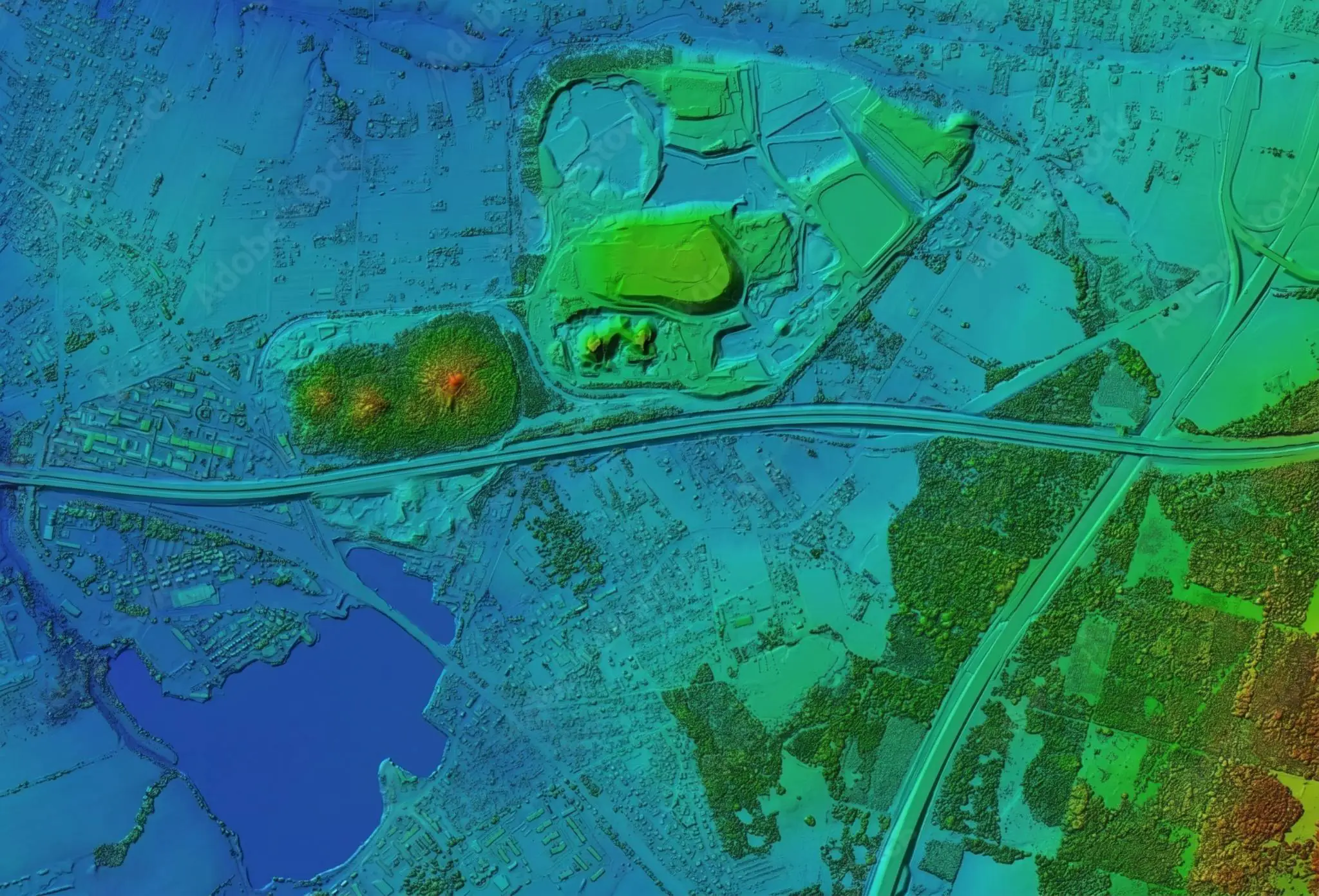
Survey, design, and field data often move between disconnected systems, creating inconsistencies that lead to costly rework and project delays.
Data errors delay project delivery
AEC projects cross jurisdictions and reference systems. Unresolved data issues become expensive field problems.

Critical project data isn’t always available in the field
Active sites demand accurate, offline-ready maps. Without them, field teams can’t navigate, annotate, or verify conditions on the job site.
Workflow

Process site data
Lidar, photogrammetry, and survey inputs


Analyze & validate
Coordinate systems, datum transformations, and CAD design files

Prepare for field
Convert and package verified data for mobile use

Execute on site
Navigate, capture, and verify site conditions
From site survey to project delivery
Global Mapper processes your data and ensures coordinate accuracy, then Avenza Maps deploys verified maps to the field. One unbroken workflow from site survey to as-built documentation, helping teams maintain spatial accuracy at every stage of delivery.
Office

Process survey data, validate coordinate systems, and prepare field-ready deliverables.
Field
Navigate active job sites, capture updates, and verify conditions with or without connectivity.
AEC projects depend on spatial data that stays accurate from the first survey to the final handoff. Global Mapper processes lidar, photogrammetry, and terrain data at full precision, while the integrated GeoCalc geodetic engine resolves coordinate systems, datums, and transformations before data leaves the office. Avenza Maps then puts verified, georeferenced maps in the hands of field teams, offline-ready and GPS-enabled.
Key outcomes


Purpose built for AEC
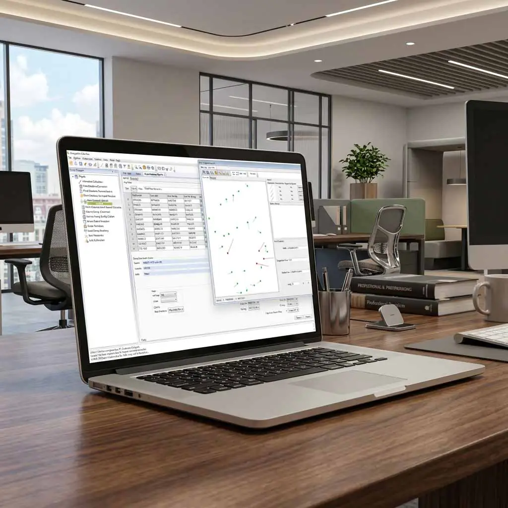
Unlike fragmented workflows requiring separate tools for survey processing, coordinate management, and field execution, Blue Marble connects these capabilities in a single platform. Surveyors, engineers, GIS professionals, and field crews gain a shared spatial foundation that supports planning, design, construction, and closeout without sacrificing accuracy.

Blog posts

Put Data into Motion: How to Create a 3D Fly-Through
The 3D Viewer tool in Global Mapper® brings your data to life, allowing you to effortlessly zoom, pan, and navigate your data in a three-dimensional space. Conveniently accessed from the…
How to Improve Lidar Accuracy and Quality
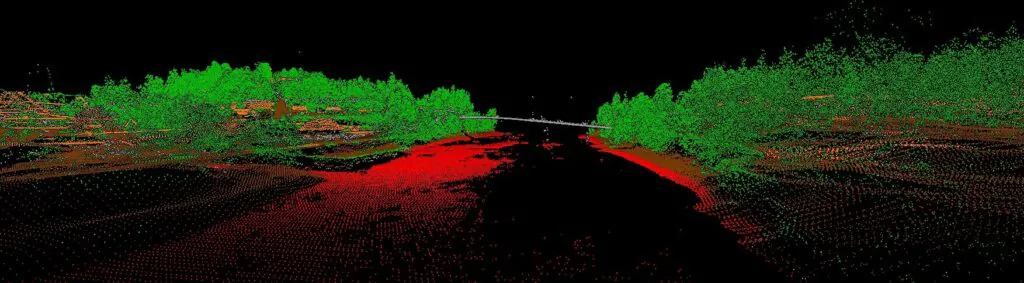
As with any commodity or raw material, the quality of point cloud data, such as lidar, directly affects the quality of its derivative products. A point cloud with positional accuracy…
How to Display Buildings in 3D in Global Mapper
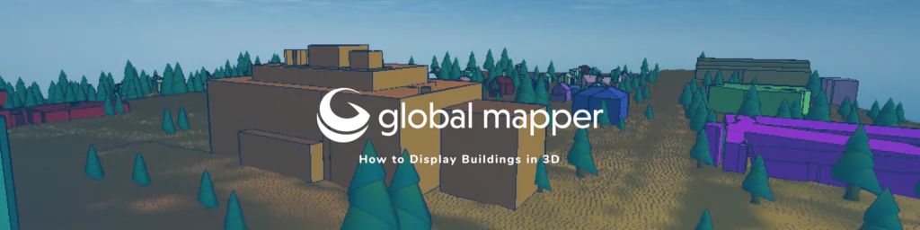
One of the best visualization tools in Global Mapper is the 3D viewer. Displaying your data in 3D can help you see your work from a new perspective, show potential…
Keep every phase of your construction project spatially aligned.

Purchase now
Instantly equip your team with the tools they need to turn geospatial data into real-world outcomes.

Try for free
Explore the full platform with your own data before choosing the plan that’s right for you.

Request a demo
Discuss your workflows with a geospatial expert and find the right solution for your team.


