Success Story
Scaling Coordinate Accuracy Across the Enterprise
Snapshot

Client:
Suncor Energy
Challenge:
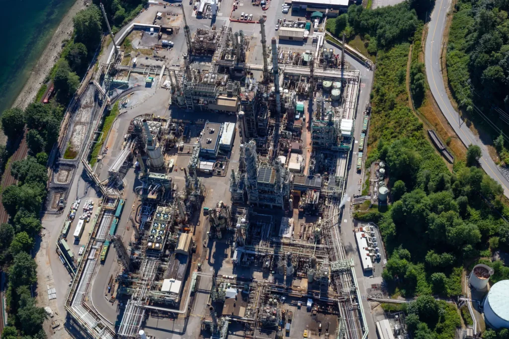
Managing dozens of legacy custom coordinate systems across a large oil sands operation, while ensuring accuracy for thousands of employees who are not geospatial specialists

Outcome:
Scaled millimeter-level coordinate accuracy from a small geomatics team to thousands of users across the organization
Project overview
Large energy operations often depend on dozens of custom coordinate systems that have accumulated over decades of expansion, acquisitions, and site development. Maintaining spatial accuracy across those legacy systems while supporting thousands of employees requires more than geodetic expertise. It demands a repeatable workflow that delivers accurate coordinate transformations across the organization.
This success story explores how Suncor Energy used Global Mapper and the integrated GeoCalc geodetic engine to standardize coordinate management across legacy plant and mining grids. By centralizing transformation definitions and extending accurate coordinate conversions to thousands of non-specialist users, the geomatics team preserved decades of spatial data while improving consistency, efficiency, and confidence across the enterprise.
The challenge
Suncor’s oil sands operations relied on numerous custom plant and mining grids created over decades of development. Many predated Canada’s transition to the metric system, yet remained deeply embedded in engineering drawings, operational systems, and field workflows. The geomatics team needed a way to preserve coordinate accuracy while making the correct transformations available across the organization without requiring specialist intervention.
The approach
Alonzo de la Cruz and the Suncor geomatics team implemented a centralized coordinate management workflow using Global Mapper and Blue Marble’s GeoCalc geodetic engine. Custom plant and mining grids were defined, documented, and maintained by the geomatics team, allowing thousands of non-specialist users to apply accurate coordinate transformations without requiring geodetic expertise.
Coordinate management workflow
Using Global Mapper and Blue Marble’s GeoCalc geodetic engine, Suncor Energy created a centralized coordinate management workflow that standardized legacy plant and mining grids, automated millimeter-level coordinate transformations, and extended trusted geospatial accuracy from a small geomatics team to thousands of users across the enterprise.

Define Custom Coordinate Systems
Custom “fitted systems” defined in Global Mapper to match site-specific plant grids, with control points tied to ground measurements at millimeter precision.


Centralize Transformation Management
Transformation parameters documented and centrally maintained by the geomatics team.

Automate Coordinate Transformations
Field-collected GPS data reconciled automatically with custom grids when returned to the office, without manual intervention.

Scale Across the Organization
Global Mapper deployed across the organization, giving thousands of non-specialist users access to the correct coordinate systems.

Preserve Legacy Data
Legacy data brought forward into modern workflows without rebuilding or re-surveying.
Results
Coordinate confidence across every energy operation
Legacy plant grids, GPS observations, and enterprise GIS workflows all depend on accurate coordinate transformations. Blue Marble helps energy organizations standardize coordinate management while maintaining confidence in every decision.

Purchase now
Instantly equip your team with the tools they need to turn geospatial data into real-world outcomes.

Try for free
Explore the full platform with your own data before choosing the plan that’s right for you.

Request a demo
Discuss your workflows with a geospatial expert and find the right solution for your team.


