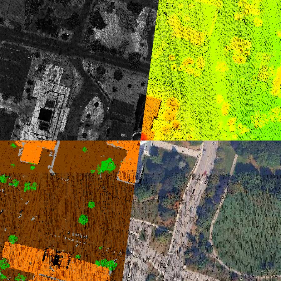
Transform Lidar Data into Field-Ready Outputs
Global Mapper gives GIS professionals a single platform to process lidar and point cloud data, generate photogrammetry outputs, analyze terrain, and prepare spatially accurate data for reliable field execution, all without tool switching, manual reconciliation, or broken workflows.
Capabilities
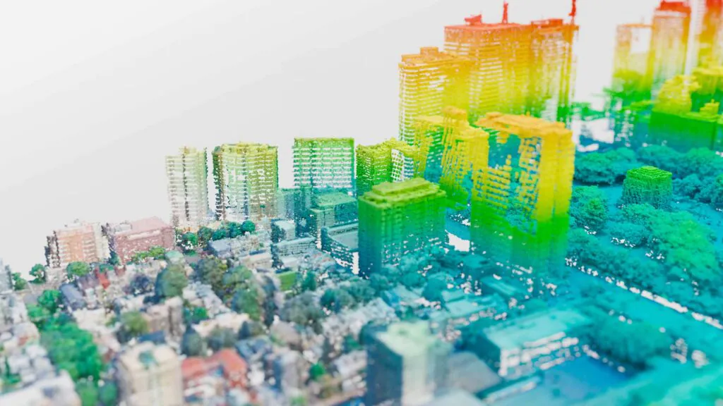
Most processing workflows involve too many tools, too many handoffs, and too much time spent reconciling outputs that should have been clean from the start. Global Mapper consolidates lidar processing, point cloud processing, terrain analysis, photogrammetry, cartography and more into a single platform, so work moves forward instead of sideways.
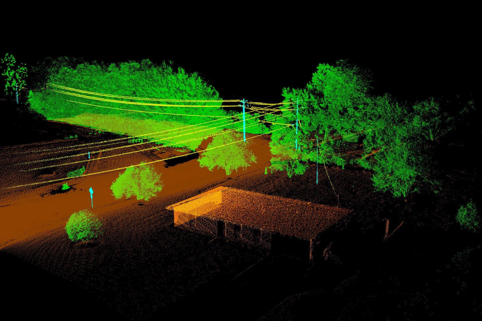
From point cloud to classified output, without the complexity.
Process massive lidar and point cloud datasets, classify ground, vegetation, and built features, and generate high-resolution outputs ready for analysis, mapping, or field deployment. Global Mapper combines lidar processing software and point cloud processing software into a single desktop GIS application built for production-scale workflows.
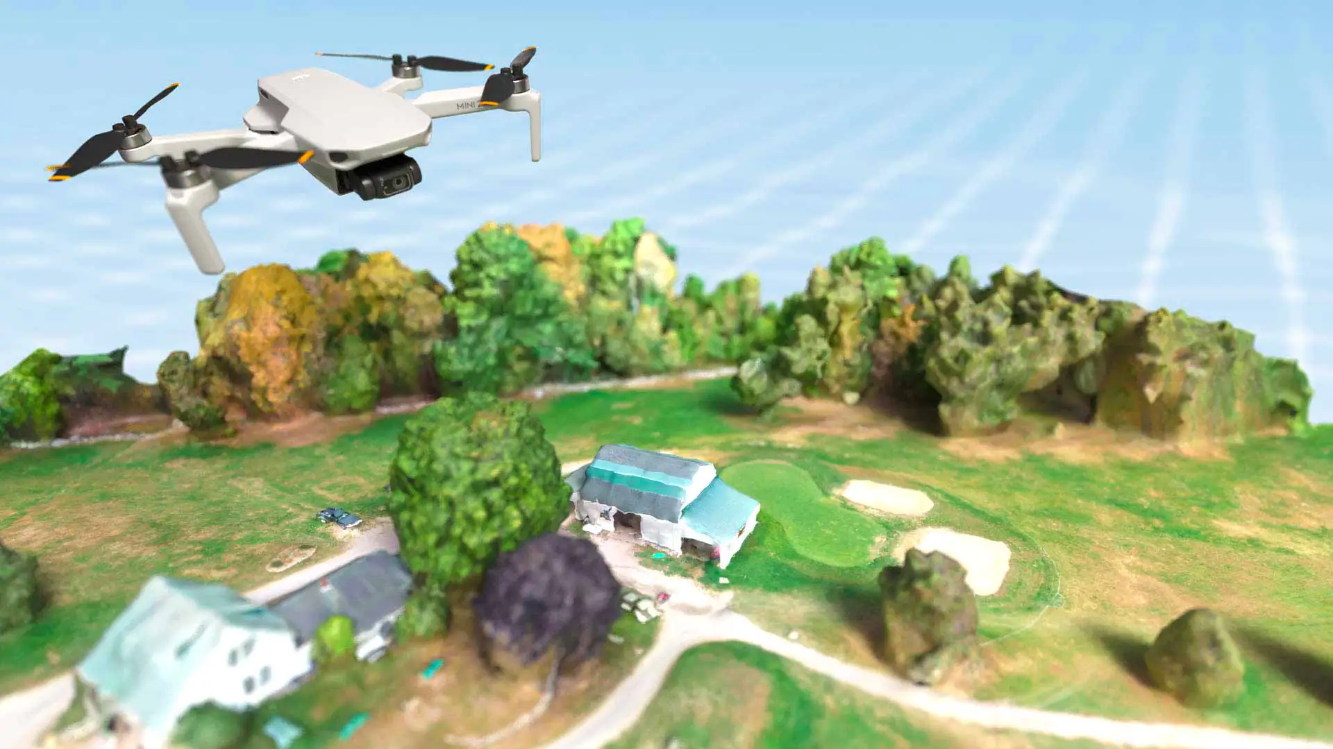
Spatially accurate outputs from aerial and drone-captured imagery.
Process drone and aerial imagery into dense point clouds, digital elevation models, and orthomosaics for analysis and field deployment. Whether the source is a drone survey or aerial capture, the output is spatially accurate and ready to move into the next stage of your workflow.
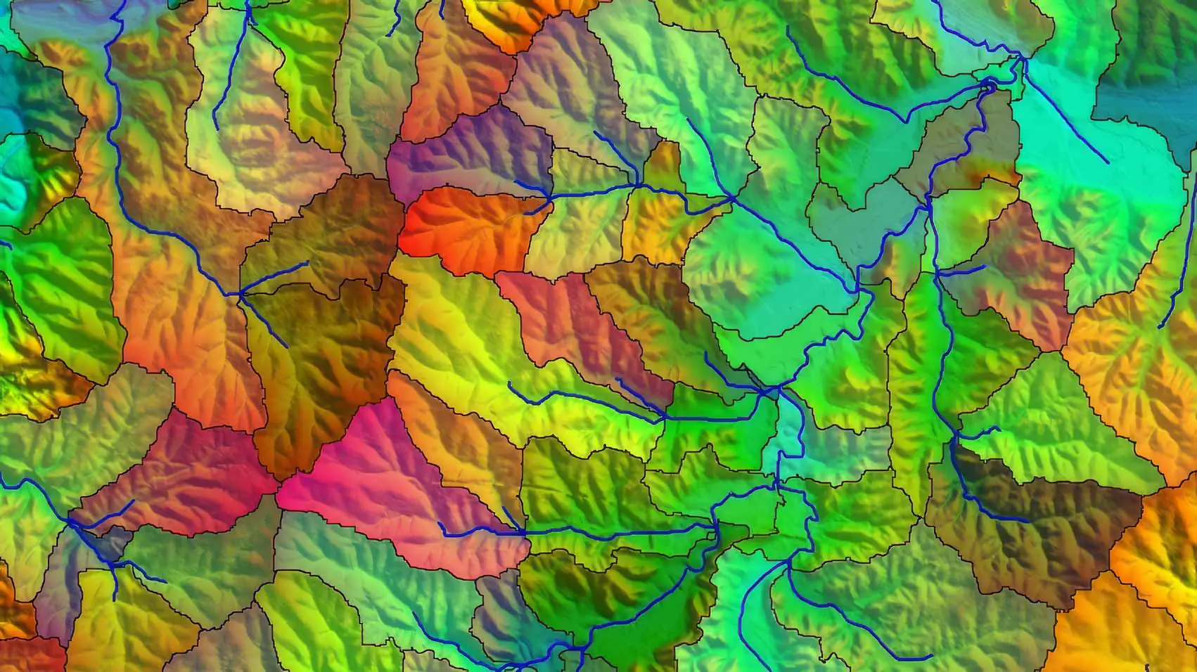
Understand the ground before anyone sets foot on it.
Generate contours, slope models, viewsheds, watershed analyses, and terrain models from elevation data. Make informed decisions about site conditions, access routes, and risk factors before field deployment begins.
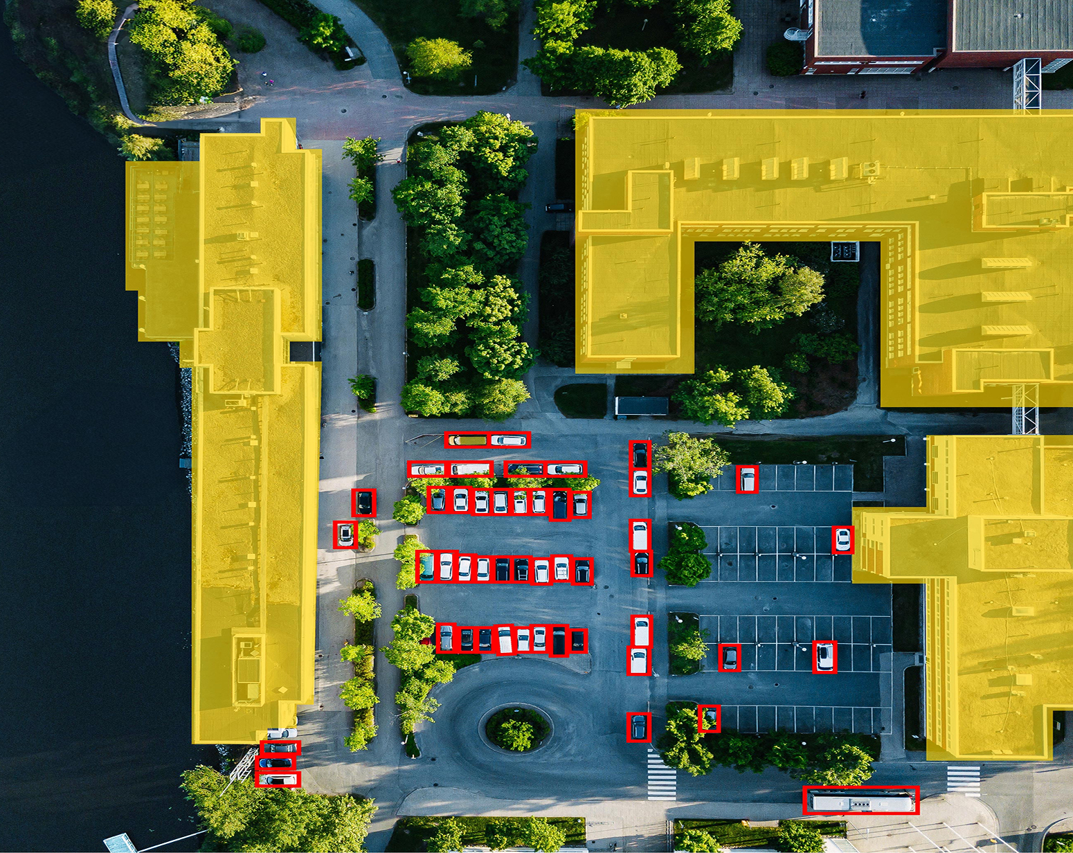
Accelerate complex analysis workflows without sacrificing accuracy.
AI-assisted point cloud classification and feature extraction reduce manual processing across large datasets. Identify and isolate features faster, so you spend more time on decisions and less time on data preparation.

Work with data from virtually any geospatial source.
Global Mapper supports hundreds of GIS and geospatial file formats out of the box. Import, convert, and export without reformatting, rebuilding, or losing attribute integrity along the way.
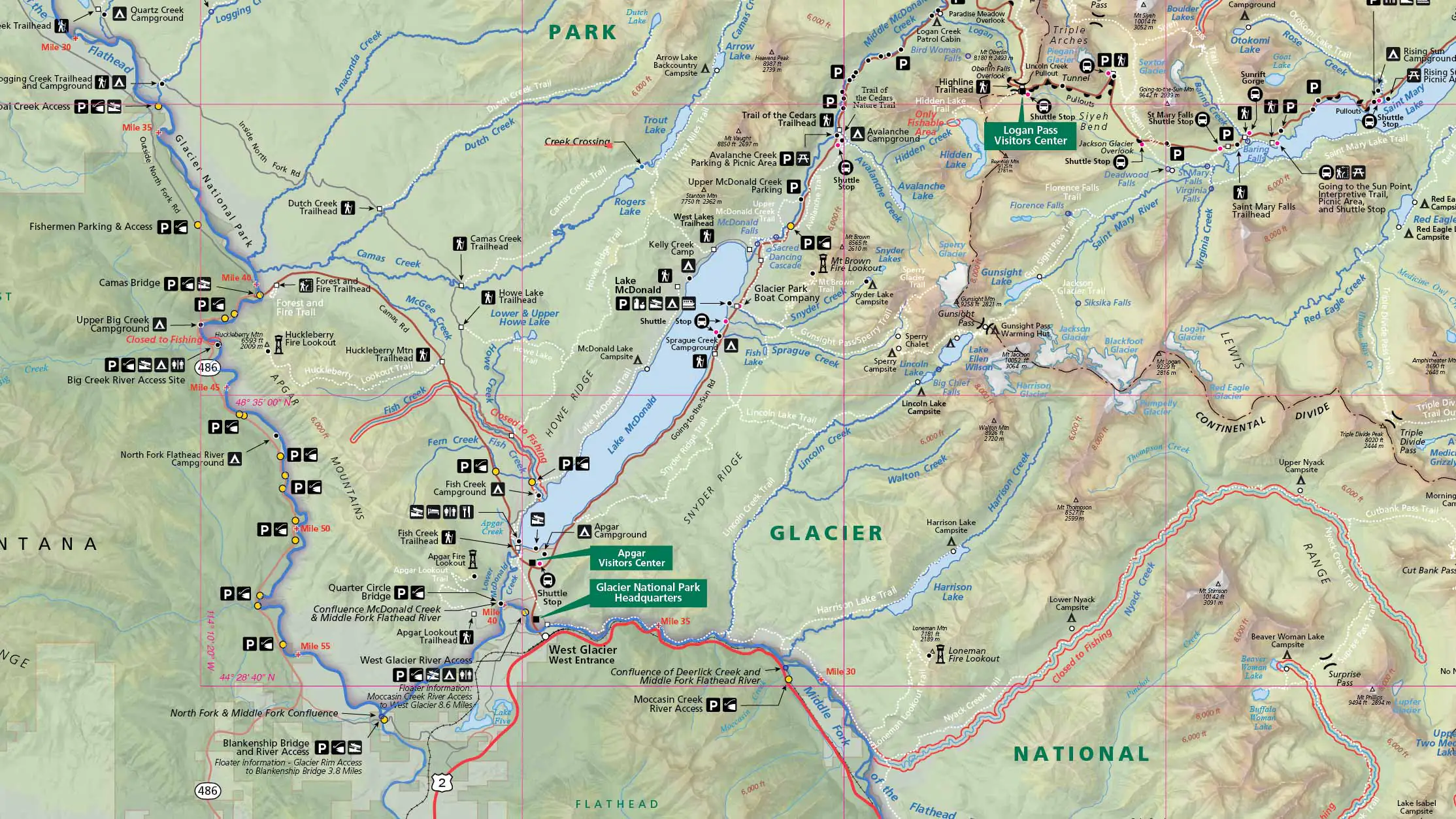
Professional cartography built on GIS intelligence.
Move seamlessly from GIS analysis to professional cartographic design and production with MAPublisher, Blue Marble’s GIS extension for Adobe Illustrator. Preserve geospatial attributes, coordinate systems, and feature relationships while leveraging Illustrator’s advanced styling, thematic mapping, intelligent labeling, and publishing tools to create publication-ready print and digital maps without manual recreation.