Industries
GIS in Forestry for Better Forest Management
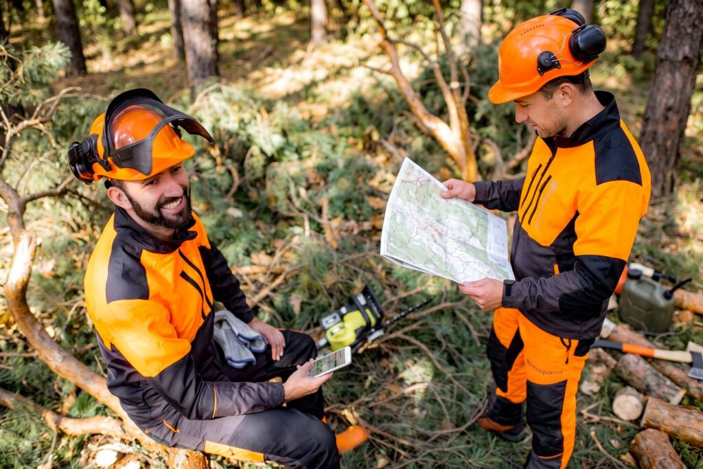
Blue Marble’s GIS in forestry software connects office analysis with field operations across vast and often inaccessible terrain. Global Mapper and Avenza Maps provide a complete workflow, from lidar forestry analysis and forest inventory to verified, offline-ready maps deployed directly to field crews.
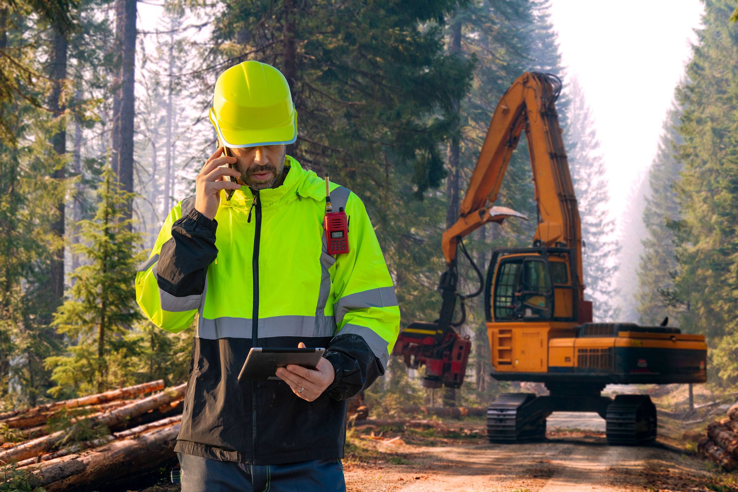
Common forestry workflow challenges
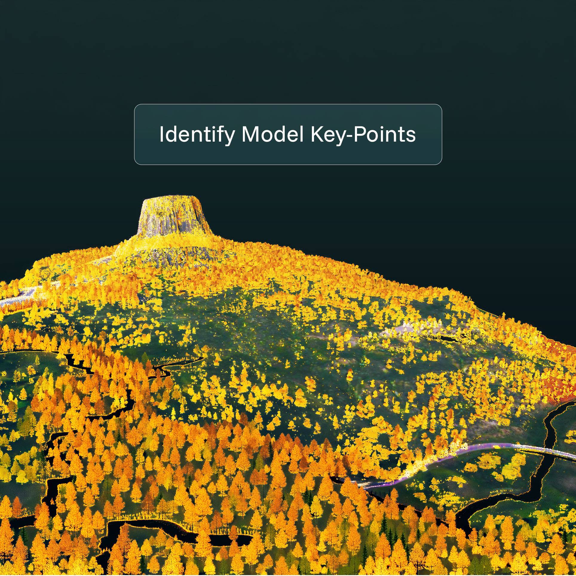
Large Lidar Datasets Strain Fragmented Workflows
Large lidar point clouds and imagery are hard to manage when workflows span multiple applications and exports.

Remote Sites Demand Offline Execution
Crews work beyond coverage and still need maps, observations, and markups captured accurately on-site every shift.

Repeatable Monitoring Requires Consistent Baseline Datasets
To track canopy, erosion, and disturbance, teams need repeatable analysis and field validation without rebuilding workflows every season.
Workflow

Process site data
Lidar, photogrammetry, and terrain inputs


Analyze & validate
Coordinate systems, datum transformations, CAD overlays

Prepare for field
Convert and package verified data for mobile use

Execute in the field
Navigate, capture, and validate field conditions and send back to the office
From analysis to action
Blue Marble connects office analysis with field execution. Global Mapper processes lidar and imagery, validates coordinate systems and maintains spatial accuracy, and Avenza Maps delivers verified maps directly to field crews.
Office

Process, analyze, and package lidar, imagery, and field-ready map outputs before crews head out.
Field
Navigate offline, capture GPS-tagged observations and plots, and sync data back aligned and ready for analysis.
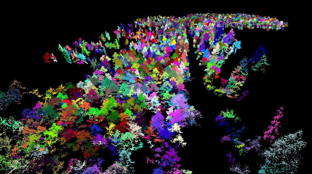
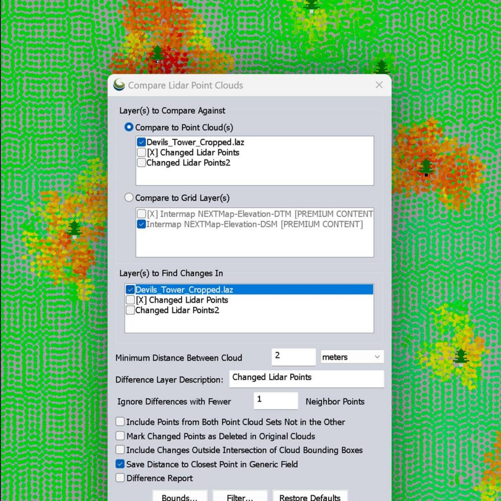
Forestry teams need spatial data that stays accurate across large, changing landscapes, particularly with the increasing risk of forest fires. Global Mapper helps you process lidar, perform forestry vegetation analysis, analyze vegetation indices, and build terrain and canopy models with confidence. Blue Marble’s integrated GeoCalc geodetic engine resolves coordinate transformations before data leaves the office, even across jurisdictions and mixed data sources, maintaining spatial accuracy from analysis through field validation. In the field, Avenza Maps puts offline, GPS-enabled maps on every device, so observations return aligned and ready for analysis.
Key outcomes

Purpose built for forestry
Forestry teams often rely on separate tools for lidar processing, vegetation analysis, map preparation, and field data collection. Global Mapper and Avenza Maps connect those workflows, helping teams move from analysis to field validation without rebuilding datasets, reformatting outputs, or sacrificing accuracy.
Blog posts
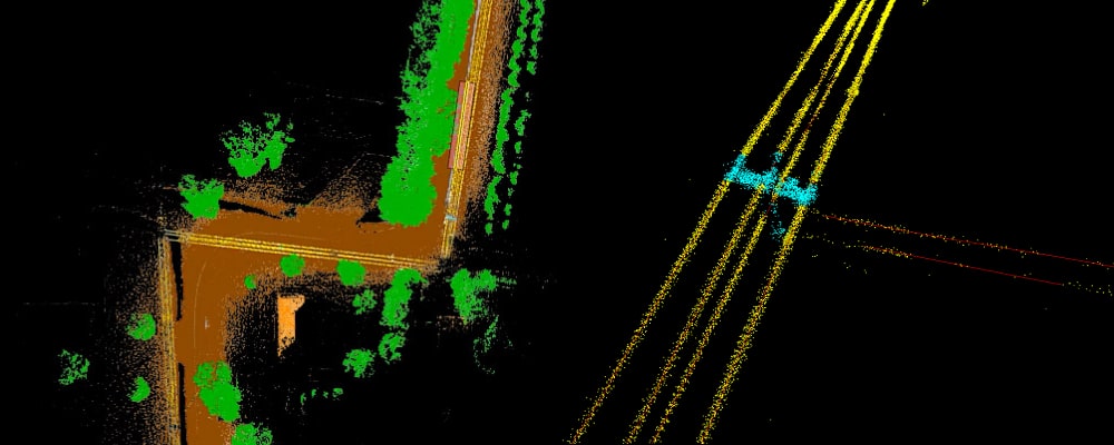
Measuring Vegetation Encroachment with Point Clouds
Overgrown vegetation can cause more problems than just an eyesore. The encroachment of trees on power lines or other utilities increases the risk of vegetation fires and power outages. As…
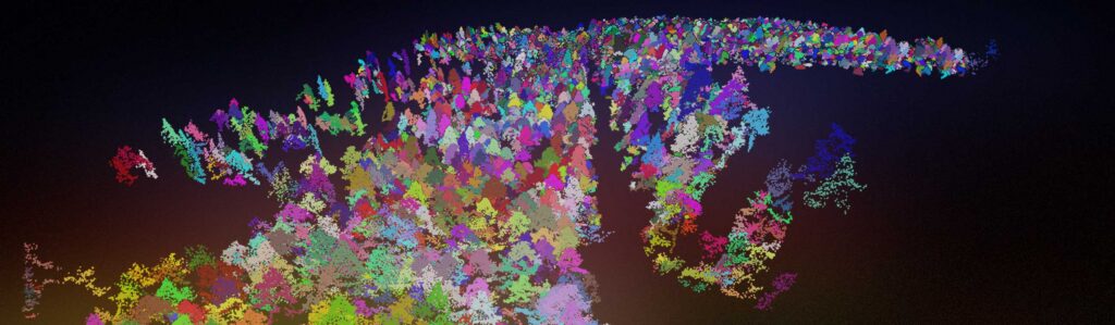
Calculating Tree Inventory from Aerial Lidar
Lidar and other remote sensing methods have become a staple method for measuring modern forests. To penetrate dense canopies, foresters use lidar data in Global Mapper Pro® to map bare…
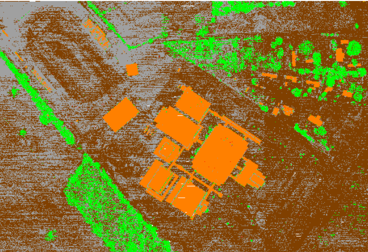
Classifying Point Clouds with the Push of a (few) Button(s)!
If you are working with any type of point cloud data, Global Mapper Pro is a powerful, must-have software. One of the standout features is its ability to automatically identify…
Turn better forest data into better decisions.

Purchase now
Instantly equip your team with the tools they need to turn geospatial data into real-world outcomes.

Try for free
Explore the full platform with your own data before choosing the plan that’s right for you.

Request a demo
Discuss your workflows with a geospatial expert and find the right solution for your team.


