Industries
Land Surveying Software for Accurate Field Delivery
Surveying work lives and dies on positional accuracy. Global Mapper and Avenza Maps provide land surveying professionals with a connected workflow for survey point cloud processing, coordinate validation, and verified, field-ready data, without the gaps that compromise deliverable quality.

Common surveying workflow challenges

Positional Errors Compound Before Anyone Catches Them
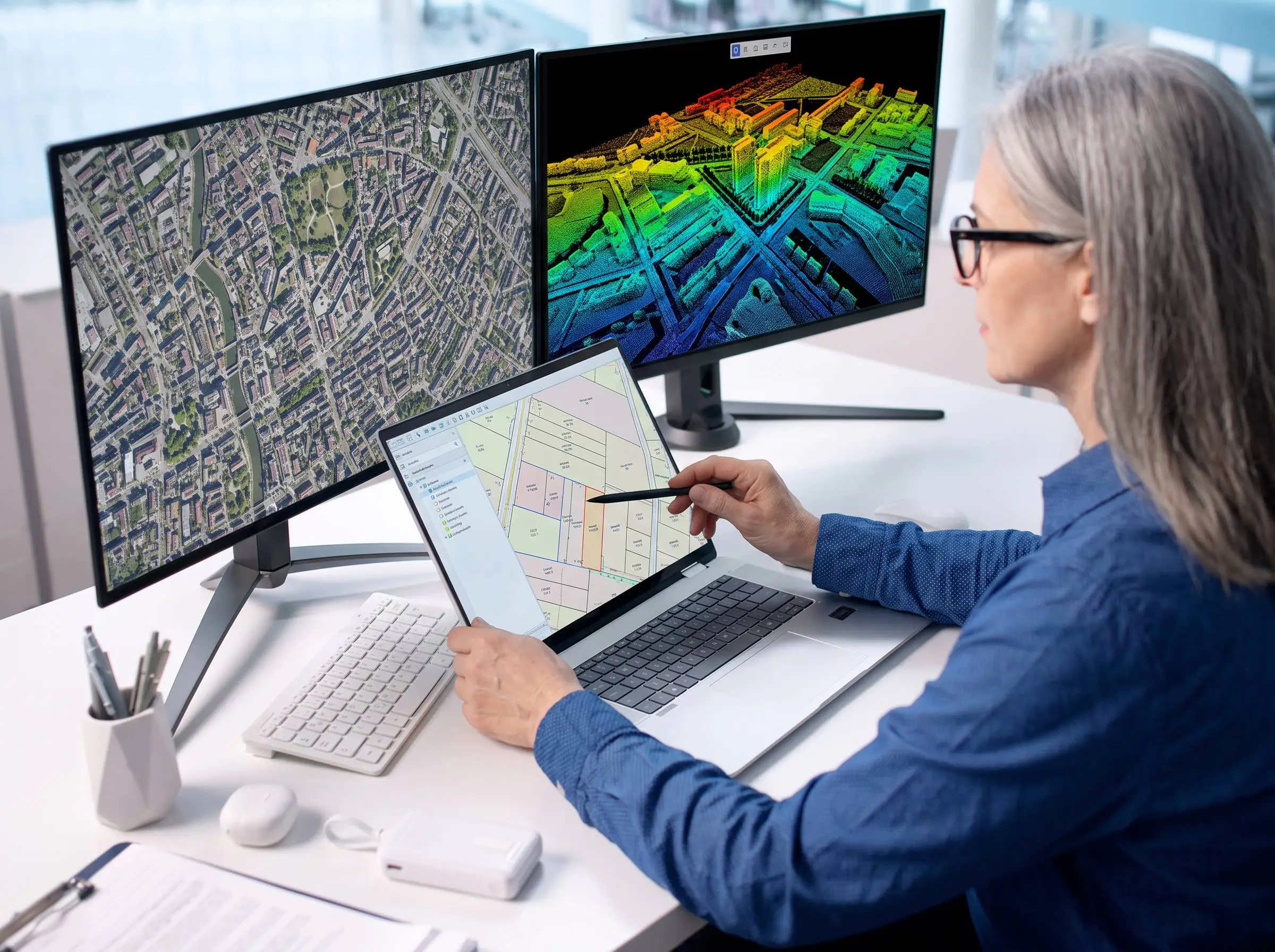
Lidar data, drone captures, and field observations come from multiple sources with different coordinate systems. Mismatches that go unresolved in the office become costly errors in the final deliverable.
Coordinate and Data Conflicts Slow Every Handoff
Survey projects span jurisdictions, reference systems, and data vintages. Without reliable transformation tools, reconciling coordinate conflicts between datasets adds time and introduces risk at every stage.

Field Teams Need Trusted Data From the First Observation
Surveys depend on verified spatial data before field teams collect a single point. Without validated, offline-ready maps in hand, field observations lose context and require cleanup that should never have been necessary.
Workflow

Ingest & process raw data
Lidar point clouds, drone photogrammetry, and survey inputs


Validate & align
Coordinate systems, data transformations, and ground control point verification

Prepare field-ready deliverables
Convert and package validated data for mobile deployment

Execute in the field
Navigate, observe, and capture against verified spatial references
From analysis to action
Global Mapper processes and validates your spatial data with Blue Marble’s GeoCalc geodetic engine built in, then Avenza Maps deploys it to the field, keeping accuracy intact from office to final deliverable.
Office

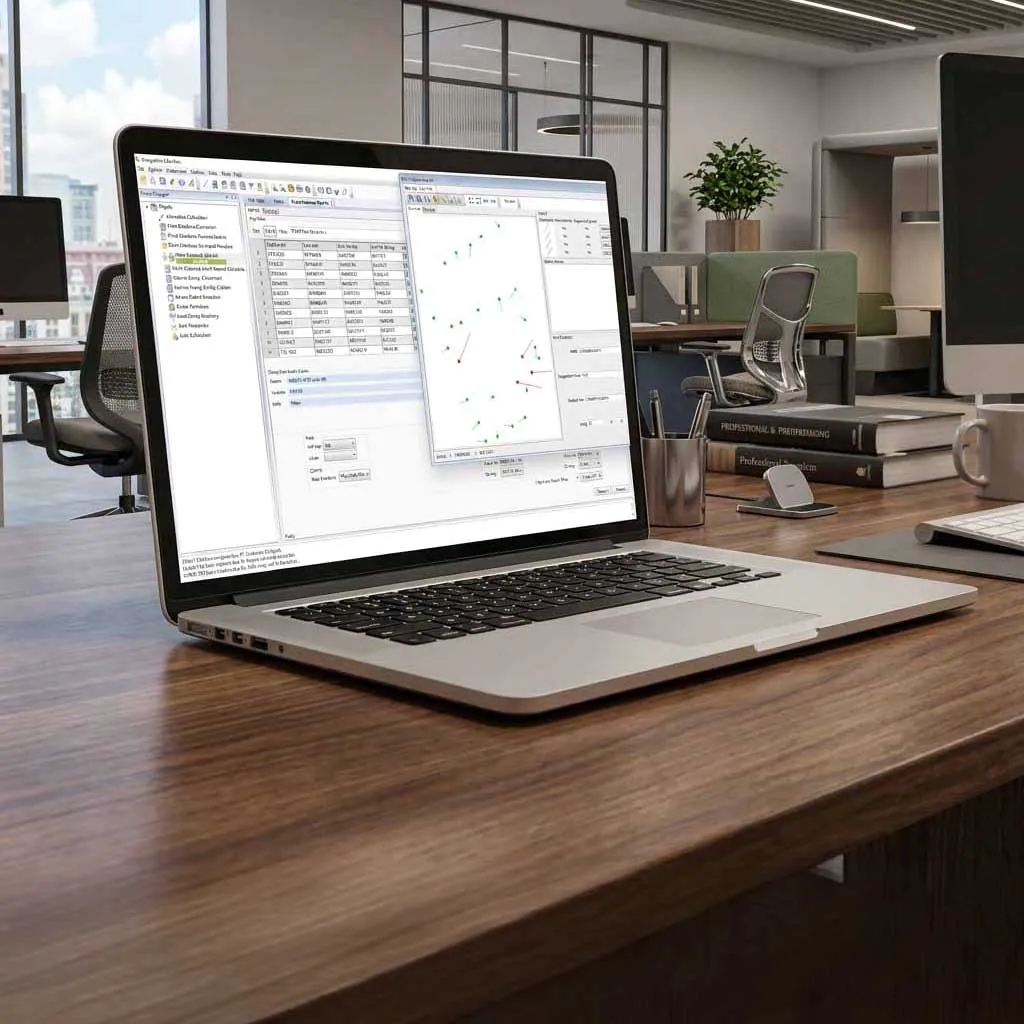
Process, validate, and package spatial data for field deployment, from lidar alignment to coordinate transformation.
Field
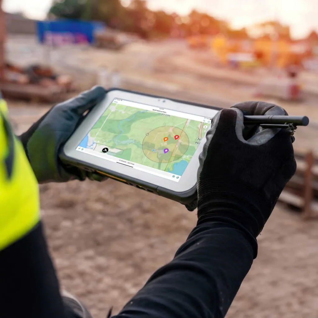
Navigate offline, capture GPS-tagged observations, and annotate against verified spatial references with or without connectivity.
Surveying demands accuracy from initial capture through final deliverable. Global Mapper processes drone surveying data, classifies point clouds, aligns datasets to ground control, and validates positional accuracy before fieldwork begins. Blue Marble’s GeoCalc geodetic engine applies coordinate transformations across 12,000+ geodetic definitions, while Avenza Maps delivers verified, georeferenced maps to field crews, offline-ready and GPS-enabled.
Key outcomes

Purpose built for surveying
Surveying professionals gain a connected workflow from raw capture to final deliverable. Global Mapper and Avenza Maps keep positional accuracy intact from point cloud processing through field validation.

Blog posts

Creating Maps for Outdoor Recreation in Global Mapper
Global Mapper is well known for its data creation and analysis capabilities, but the program also includes many tools for data visualization and map creation. From multiple methods to visualize…

Bring Your Data to Life: Visualizing Data in Global Mapper
Global Mapper® is a comprehensive GIS application built to make mapping and analysis workflows more efficient for users of all levels of expertise. A key part of any GIS project…
Learn how to process drone imagery in Pixels to Points
The Pixels to Points® course on the Blue Marble Geographics Online Classroom can help you get started with Global Mapper Pro®, a robust photogrammetry software. If you’re interested in creating…
Deliver survey data with confidence.

Purchase now
Instantly equip your team with the tools they need to turn geospatial data into real-world outcomes.

Try for free
Explore the full platform with your own data before choosing the plan that’s right for you.

Request a demo
Discuss your workflows with a geospatial expert and find the right solution for your team.


