

Move from Geospatial Data to Real-world Action, Faster
Global Mapper replaces fragmented desktop GIS workflows with one application for data processing, spatial analysis, geodetic workflows, and deployment-ready mapping. Process complex data with confidence and prepare trusted outputs for reliable field execution.
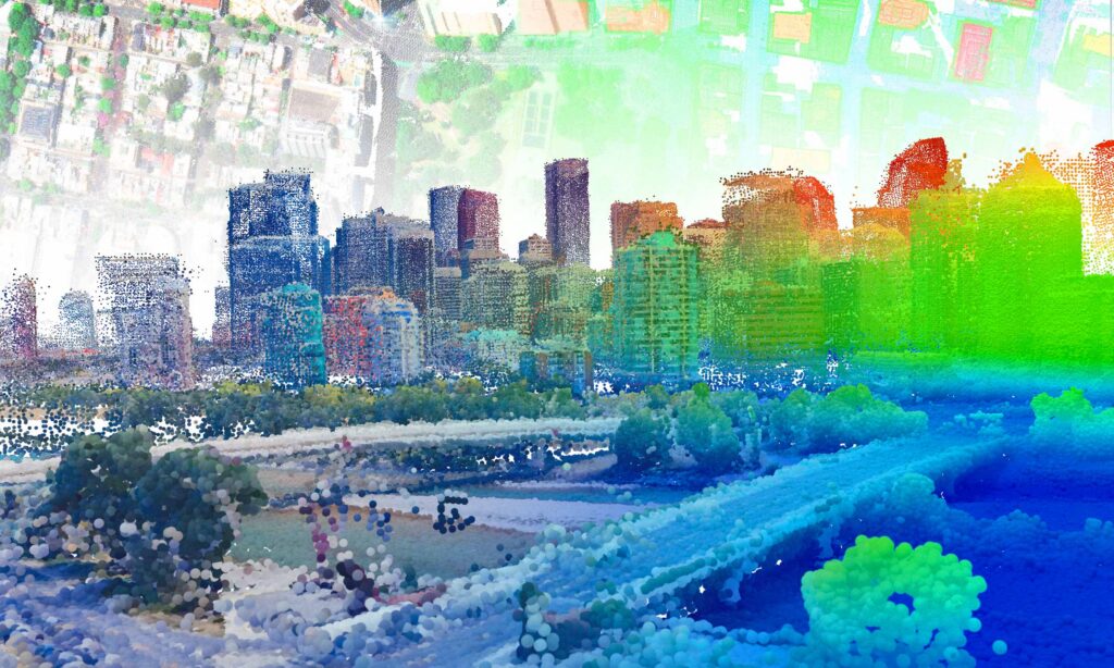
Built for real-world geospatial execution
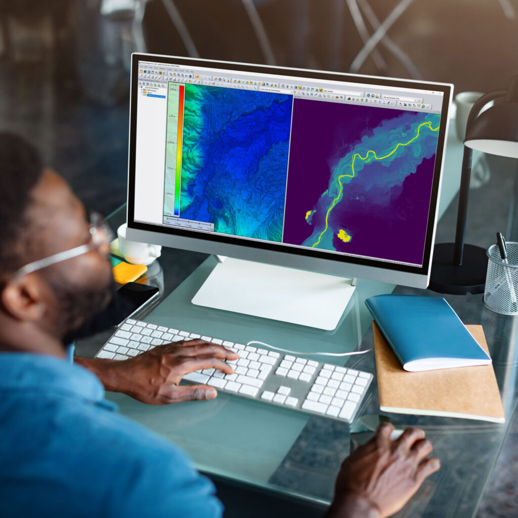
Global Mapper capabilities
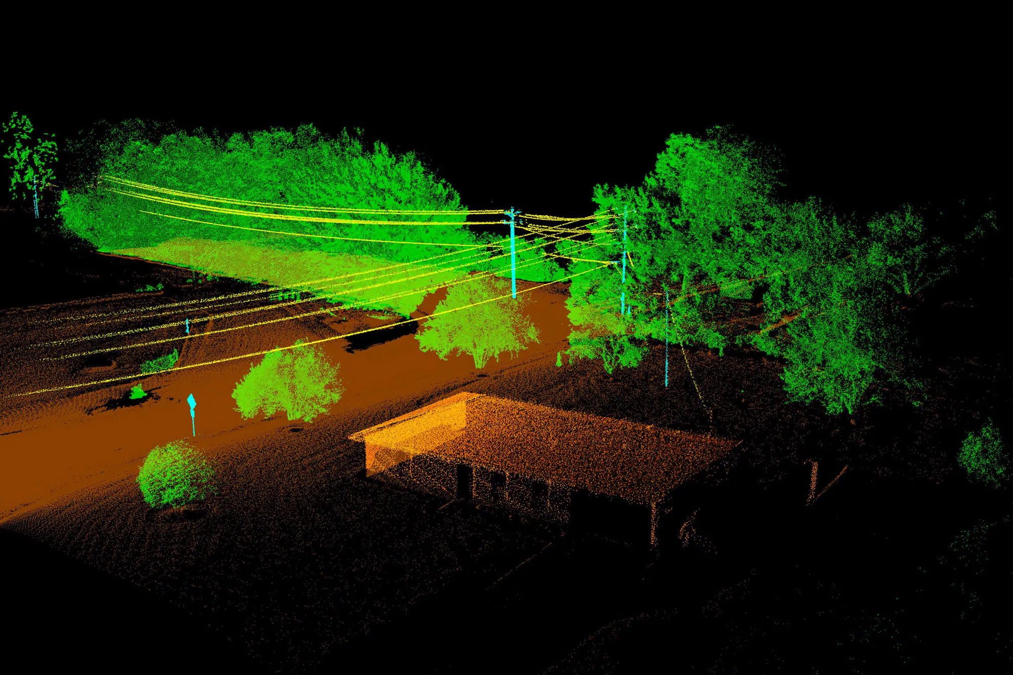
Turn raw geospatial data into trusted deliverables.
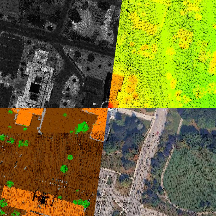
Global Mapper combines industry-leading lidar and point cloud processing capabilities in a single desktop GIS application. Classify features, generate photogrammetric outputs, and transform raw point cloud data into analysis-ready deliverables within one connected workflow.

Coordinate accuracy that holds up anywhere.
Powered by Blue Marble’s GeoCalc geodetic engine, validate coordinate systems, perform precise coordinate conversions and datum transformations, and maintain spatial accuracy across complex workflows with 12,000+ geodetic definitions and full support for the modernized NSRS and CSRS.
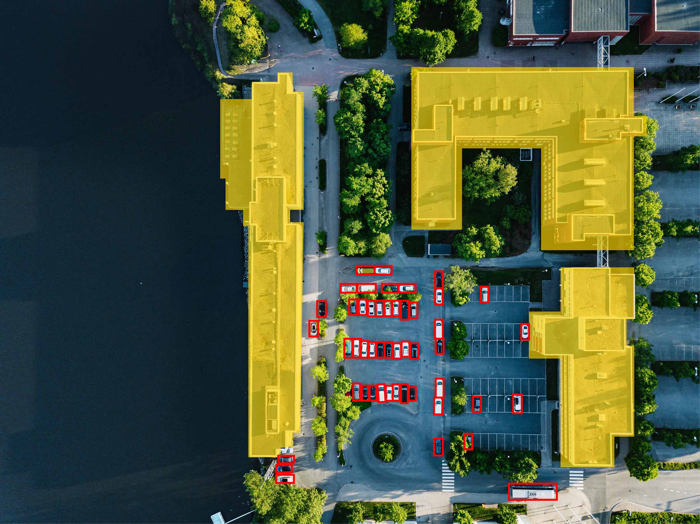
AI-Assisted Feature Extraction
AI-assisted feature extraction and classification accelerate time-consuming geospatial workflows while keeping you in control of the final output. Identify roads, buildings, vegetation, power lines, and other features faster while reducing manual effort, all without leaving your existing workflow. Built directly into Global Mapper’s connected desktop GIS workflow, AI-assisted feature extraction helps organizations move from raw data to trusted deliverables more efficiently.
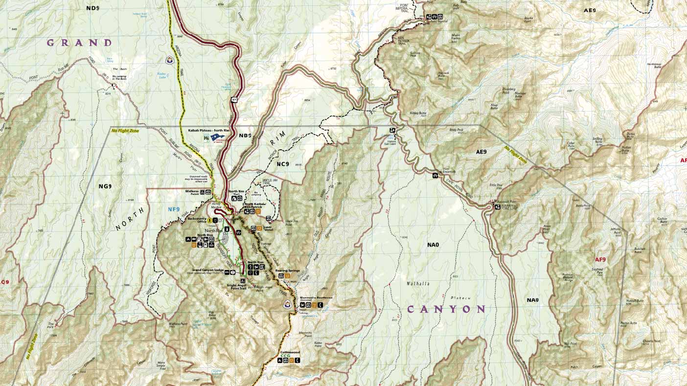
Create production-ready cartographic maps without leaving your workflow.
Turn geospatial analysis into polished, publication-ready maps while preserving the spatial accuracy and data relationships behind your work. Move seamlessly from GIS analysis to professional cartographic design without manually recreating your data or disrupting your workflow.
One workflow. Two environments.
Overview
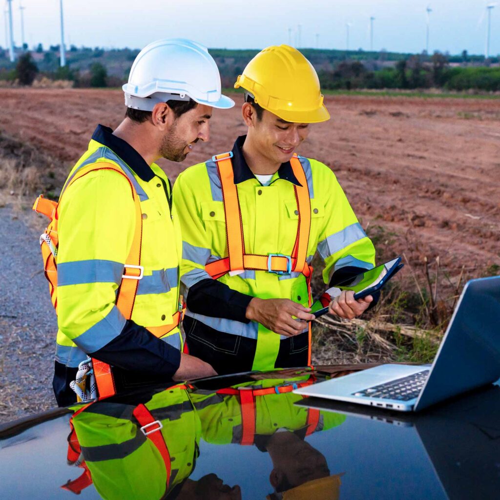
Global Mapper prepares geospatial data in the office for reliable field execution. Process lidar and terrain data, manage complete geodetic workflows, and create deployment-ready maps that maintain spatial integrity across complex projects. When preparation is complete, maps can be deployed to Avenza Maps for offline access and field execution.
Overview
Avenza Maps extends office-prepared workflows into the field through offline maps, GPS positioning, and structured data collection. Teams can navigate, capture observations, and maintain reliable access to geospatial data in disconnected environments. When work is complete, field-collected data can be exported to Global Mapper for continued analysis.
Field Data Collection
Capture observations, markups, and field data directly on the map while maintaining alignment between office and field operations, no connection required.
Map Distribution
Deploy office-prepared maps to mobile devices for reliable offline access. Broad file format support enables a seamless transition from field data collection to continued analysis in Global Mapper.
Success stories
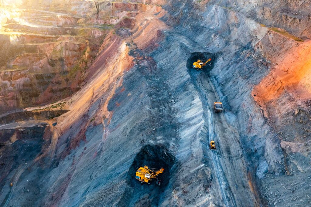
From Office Models to Field Execution: Predictable Mine Rehabilitation
Discover how mine rehabilitation engineer Brett Rhodes used Global Mapper to unlock more than $300 million in recoverable ore, reduce rehabilitation costs by $1.7 million, and validate designs before construction began.
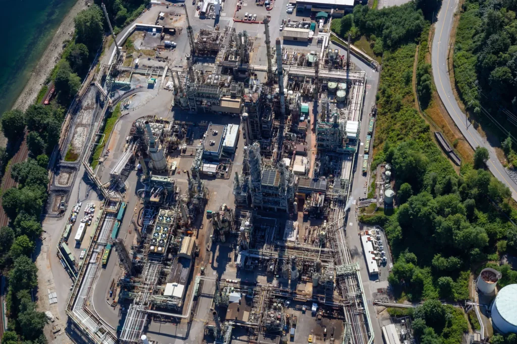
Scaling Coordinate Accuracy Across the Enterprise
See how Suncor Energy scaled millimeter-level coordinate accuracy from a small geomatics team to thousands of users across a large oil sands operation using Global Mapper. Read the success story.

From Survey Planning to Field Execution, in One Platform
Learn how Bintang Subsea Indonesia used Global Mapper to plan, execute, and analyze a precision Red Sea seafloor survey in one platform, from georeferenced route planning through 3D multibeam analysis.
Frequently asked questions
Global Mapper supports over 300 file formats out of the box, including vector, raster, elevation, and point cloud data types. No add-ons or additional licenses are required. New and modified formats are added on an ongoing basis, so the software stays current with the data you encounter in the field.
Unlike many GIS mapping software platforms that require multiple applications, Global Mapper handles the full processing pipeline in a single desktop GIS application: lidar processing, terrain analysis, geodetic workflows, vector editing, raster analysis, photogrammetry, and map design. For GIS professionals who have been stitching together separate tools for each stage of a workflow, Global Mapper replaces that fragmented stack with one connected environment from raw data input to field-ready output.
Global Mapper is designed for organizations that need to process, analyze, and deploy geospatial data quickly without the licensing complexity, infrastructure requirements, or administrative overhead common in enterprise GIS platforms. While many GIS platforms are designed primarily to store, manage, and govern data, Global Mapper is built to help professionals work with that data, transforming raw inputs into actionable outputs that support real-world execution. It is a system of action, not a system of record.
Global Mapper includes advanced lidar and point cloud processing tools designed for production-scale datasets. GIS professionals can classify features, remove noise, thin point clouds, extract vector features from classified data, and generate photogrammetric outputs including orthoimagery and 3D models. Batch processing and scripting support allow large datasets to move through the workflow without manual intervention at each step.
Global Mapper includes Blue Marble’s GeoCalc geodetic engine, providing access to 12,000+NSRS geodetic definitions, support for time-dependent horizontal and vertical transformations, and full support for the modernized NSRS and CSRS. Coordinate validation and geodetic transformations happen before data leaves the office, helping maintain spatial accuracy across every stage of the workflow.
Yes. Global Mapper supports a broad range of formats used across the GIS industry, including file geodatabases, shapefiles, and other common outputs from ArcGIS and similar platforms. Data moves in and out without manual conversion, so Global Mapper fits into existing workflows rather than requiring teams to change how they manage their data.
Desktop GIS software, such as Global Mapper, enables organizations to process, analyze, visualize, and manage geospatial data. It combines information from lidar, satellite imagery, drones, CAD drawings, GPS, and other sources to support planning, engineering, environmental management, surveying, and countless other workflows.
While many GIS platforms focus primarily on storing and managing spatial data, Global Mapper is designed to help professionals transform that data into actionable outputs for analysis, decision making, and real-world field execution.
Maps and data prepared in Global Mapper are packaged and exported to field devices running Avenza Maps. Field teams access office-prepared maps offline, capture GPS-tagged observations and field data, and sync everything back to Global Mapper when the work is done. Data arrives back exactly as it was collected, ready for continued analysis.
Global Mapper is built for GIS professionals, surveyors, engineers, government agencies, utilities, environmental consultants, public safety organizations, and anyone who works with geospatial data and needs the most accurate results without the complexity or overhead of traditional enterprise GIS platforms.
Organizations choose Global Mapper when they need to process lidar and terrain data, perform coordinate transformations, create publication-ready maps, and prepare trusted data for field deployment, all within a single desktop application. Whether you’re managing large infrastructure projects, conducting environmental analysis, supporting emergency response, or producing survey-grade deliverables, Global Mapper provides the tools needed to move from raw geospatial data to real-world action.
MAPublisher is Blue Marble’s GIS extension for Adobe Illustrator, enabling you to take geospatial data from Global Mapper into Illustrator for professional cartographic design and production. It preserves geospatial attributes and relationships as data moves between applications, eliminating manual recreation and allowing you to create publication-ready maps while maintaining the integrity of your GIS data.
Global Mapper supports exporting to the same broad range of formats it imports, including GeoPDF, GeoTIFF, KMZ, shapefiles, and numerous raster, vector, and point cloud formats. For professional cartography, Global Mapper also extends directly into Adobe Illustrator through MAPublisher, Blue Marble’s GIS extension for Adobe Illustrator, preserving geospatial attributes and relationships throughout the map design process.
Move from Geospatial Data to Real-World Action.

Purchase now
Instantly equip your team with the tools they need to turn geospatial data into real-world outcomes.

Try for free
Explore the full platform with your own data before choosing the plan that’s right for you.

Request a demo
Discuss your workflows with a geospatial expert and find the right solution for your team.


