
Offline Maps. Reliable Field Data. Anywhere Work Happens.
Avenza Maps gives field teams offline mapping, GPS navigation, and field data collection where connectivity is limited. Deploy authoritative office-prepared maps, navigate with confidence, capture structured field data, and keep office and field workflows connected.
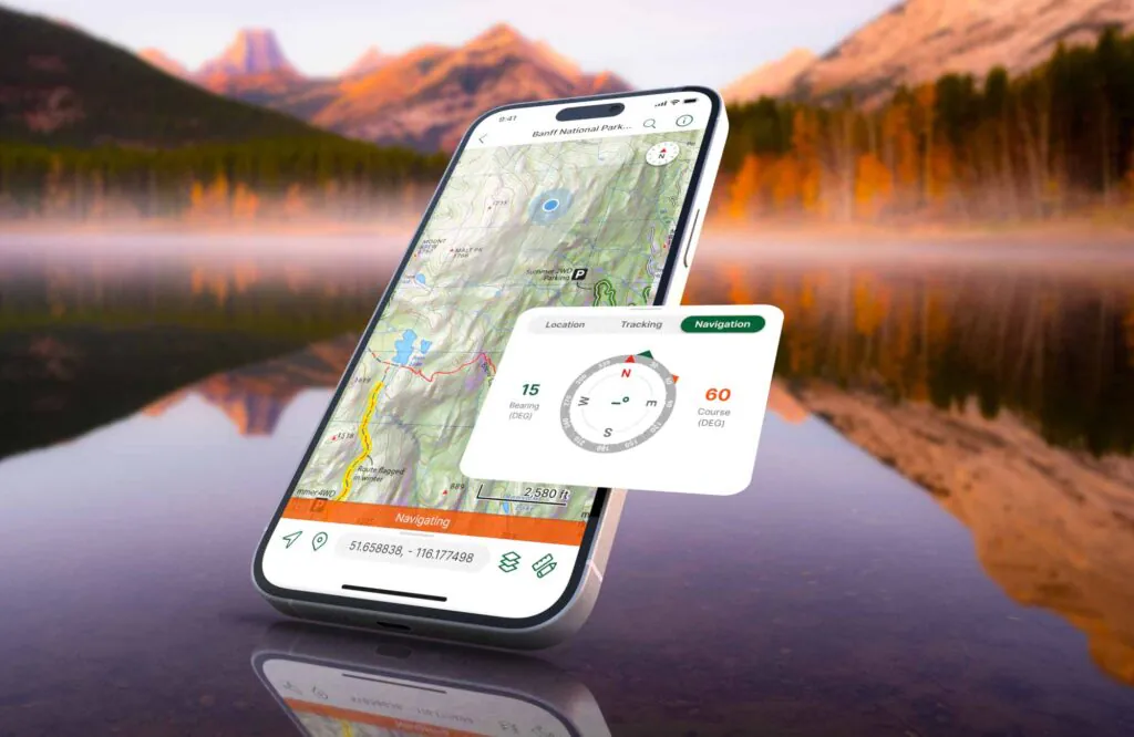
Built for reliable field execution, used worldwide
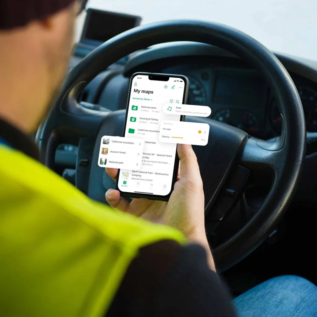
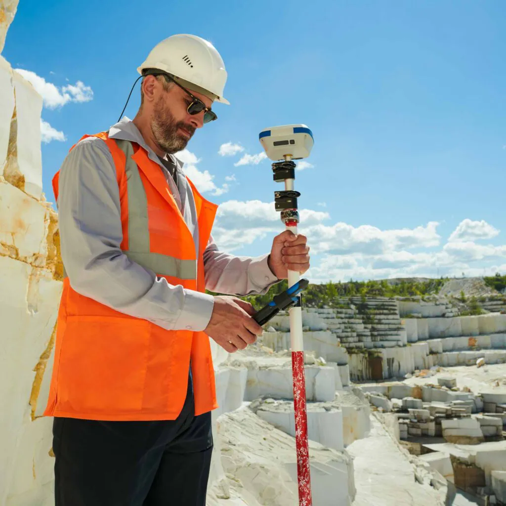
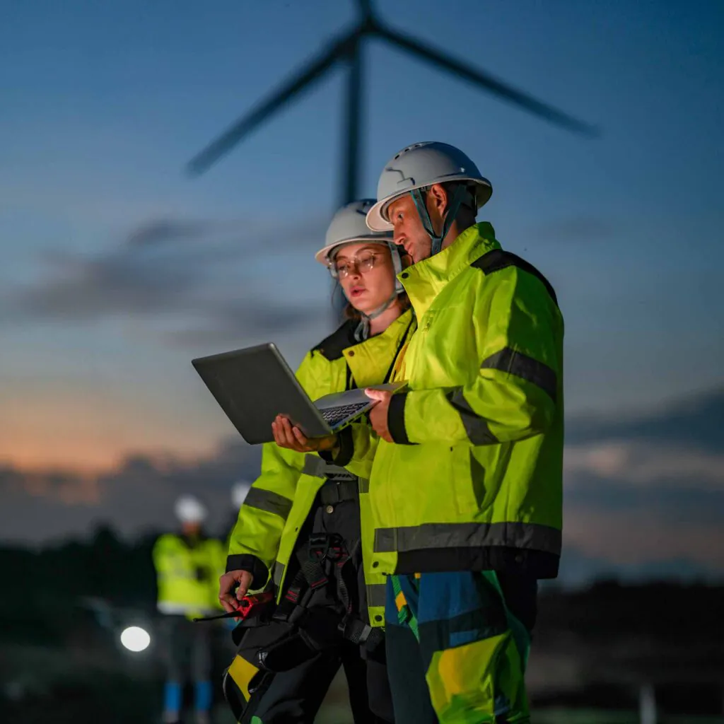
Avenza Maps capabilities

Get the right authoritative maps into the right hands before the job starts.
Package and distribute offline and georeferenced maps directly to field devices before deployment. Every crew begins work from the same authoritative map, reducing version confusion, eliminating startup delays, and ensuring teams execute with trusted information from the moment they arrive on site.

Capture field data with spatial precision.
Record GPS-tagged observations, photos, and custom attributes directly on the map. Every observation is automatically tied to its real-world location, improving data quality while reducing manual cleanup and accelerating reporting once work returns to the office.

Maintain accurate positioning and navigation in offline environments.
Navigate using offline maps while tracking your real-time GPS position in the field. Reliable positioning helps teams stay oriented, reach the correct assets and work areas, and continue operating confidently when cellular service is unavailable.
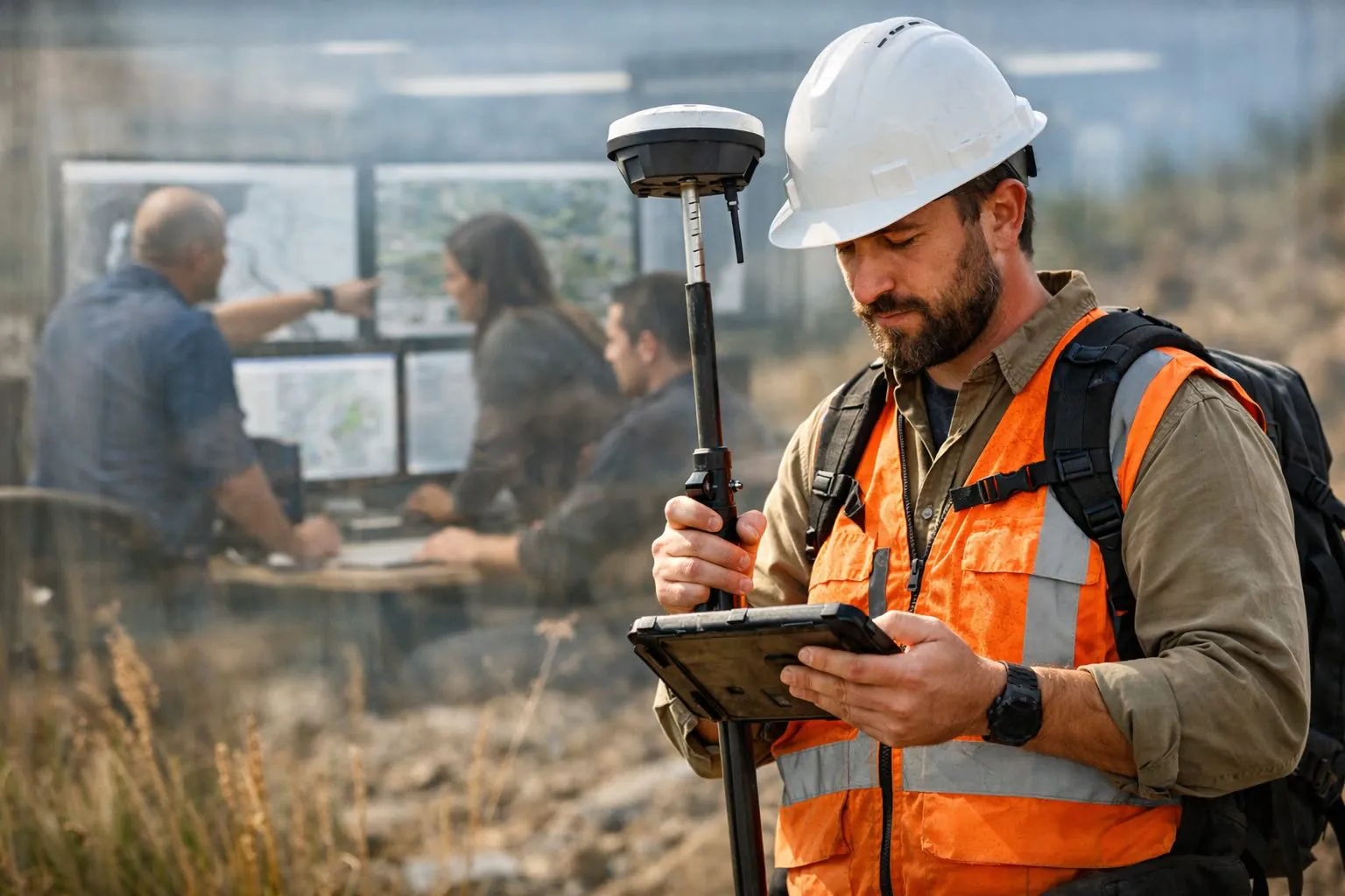
Close the loop between field collection and office analysis.
Export field observations in structured GIS formats while preserving their full spatial context. Office teams spend less time reconciling disconnected notes and more time analyzing trusted data that moves directly into existing GIS workflows.
One workflow. Two environments.
Overview
Avenza Maps extends office-prepared workflows into the field through offline maps, GPS positioning, and structured data collection. Teams can navigate, capture observations, and maintain reliable access to geospatial data in disconnected environments. When work is complete, field-collected data can be exported to Global Mapper for continued analysis.
Overview
Global Mapper prepares geospatial data in the office for reliable field execution. Process lidar and terrain data, manage complete geodetic workflows, and create deployment-ready maps that maintain spatial integrity across complex projects. When preparation is complete, maps can be deployed to Avenza Maps for offline access and field execution.
Data Processing and Analysis
Process lidar data, point clouds, terrain models, and imagery into validated geospatial outputs ready for analysis and field deployment.
Geodetics & Coordinate Systems
Validate coordinate systems, perform coordinate conversions, and apply datum transformations with Blue Marble’s GeoCalc geodetic engine, supporting 12,000+ geodetic definitions.
Success stories
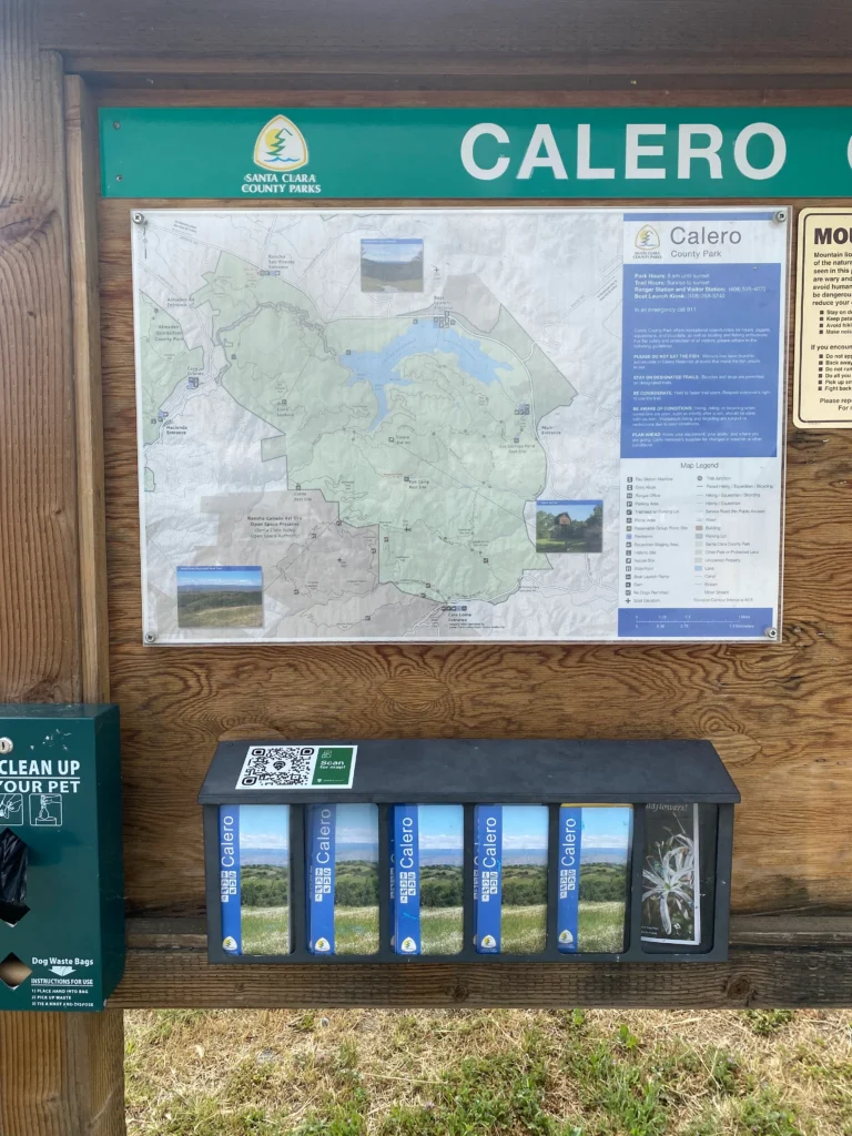
29 Parks. 52,000 Acres. One Authoritative Map Source.
Santa Clara County Parks replaced paper maps with a single digital workflow across 29 parks and 52,000 acres, giving every ranger and visitor access to current maps via Avenza Maps.

Better Design Starts Before Breaking Ground
See how BayWa R.E. Wind used Avenza Maps to verify wind farm designs in remote locations before construction, eliminating manual reconciliation and reducing downstream design errors.

600,000 Acres. Every Forester with the Right Map.
Huber Resources Corp equipped eight district foresters across 600,000 acres with office-prepared maps using Avenza Maps, streamlining field navigation and certification record keeping.
Frequently asked questions
Yes. Avenza Maps is built for offline-first field use. Offline maps, GPS navigation, and field data collection continue to work without an internet or cellular connection. Connectivity is never a dependency for accurate field execution.
Avenza Maps supports GeoPDF, GeoTIFF, KMZ, and other georeferenced offline map formats. If your maps are prepared in Global Mapper, they can be packaged and exported directly into a format ready for field deployment — no manual conversion required.
Maps are packaged in the office using Global Mapper and distributed to field devices before the job starts. When fieldwork is complete, field-collected data can be exported to Global Mapper for continued analysis. Field observations are preserved exactly as collected, maintaining the spatial context needed for analysis.
Avenza Maps scales to support teams of any size. Maps and data can be distributed to multiple devices from a single workflow, and collected data comes back in a consistent, structured format regardless of team size. There is no complex infrastructure required to get your team up and running.
Yes. The same map package can be deployed to any number of devices simultaneously. Each team member works from their own copy in the field, and all collected data is returned to the office as structured, analysis-ready output when the work is done.
Capture GPS points, photos, lines, polygons, notes, and custom attributes directly on offline maps. Every data point is tied to real-world coordinates from the moment of capture, structured for analysis before it ever leaves the field.
Avenza Maps uses your device’s GPS for accurate offline navigation and also supports external high-accuracy GPS receivers when greater positional accuracy is required. For work that requires higher positional accuracy, Avenza supports external Bluetooth GPS receivers, allowing teams to meet precise accuracy requirements without changing their workflow.
Avenza Maps is designed to work alongside the tools GIS professionals already use. Maps prepared in Global Mapper deploy directly into Avenza for field access, and field-collected data flows back into Global Mapper for continued analysis. If your team uses other GIS platforms, supported file formats allow data to move in and out without friction.
Yes. Custom data collection forms can be configured before deployment, so your team captures exactly the attributes your workflow requires. Field data arrives back structured and consistent, reducing cleanup and reconciliation time in the office.
Offline GIS allows organizations to access maps, GPS positioning, and other critical geospatial data without relying on an internet or cellular connection. With Blue Marble, maps are prepared in the office, deployed to mobile devices before work begins, and remain fully functional throughout field operations, regardless of network availability.
For organizations working in forests, disaster zones, construction sites, or remote infrastructure corridors, offline GIS ensures critical spatial information remains available wherever work happens. Avenza Maps extends office-prepared workflows into the field, giving teams reliable access to accurate maps while maintaining continuity between office analysis and field execution.
Keep Your Field Teams Connected, Even When They Aren’t.

Purchase now
Instantly equip your team with the tools they need to turn geospatial data into real-world outcomes.

Request a demo
Discuss your workflows with a geospatial expert and find the right solution for your team.


