Blue Marble Blog
Practical Insights for Geospatial Professionals
Explore technical tutorials, product updates, workflow tips, and real-world applications from across the geospatial industry. From lidar processing and terrain analysis to field data collection, coordinate systems, and GIS best practices, the Blue Marble blog helps professionals solve complex challenges, improve efficiency, and get more from their geospatial data.
Whether you’re looking to master a new workflow, explore the latest product capabilities, or learn from customer success stories and industry experts, you’ll find practical insights you can apply to your work immediately.

Global Mapper Fall 2026: Which Tier Fits Your Workflow?
Choosing Geospatial software starts with the work you need to accomplish. Are you preparing datasets for colleagues, analyzing terrain for a project, producing finished maps, or turning drone imagery into…

Master Point Cloud Processing with Self-Guided Training
For geospatial professionals balancing tight deadlines and fieldwork, finding time for professional development or learning new software can be a challenge. That’s why we created the Blue Marble Geographics Online…
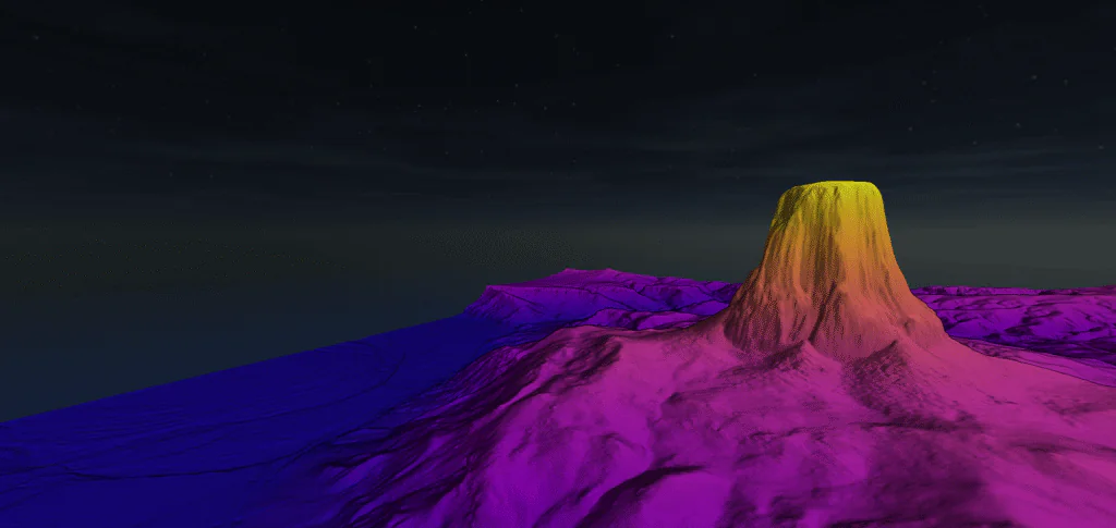
How to Create a Digital Terrain Model
In the geospatial industry, acronyms like DEM, DSM, and DTM are frequently used when referring to elevation data, but they aren’t interchangeable. A Digital Elevation Model (DEM) is a general…
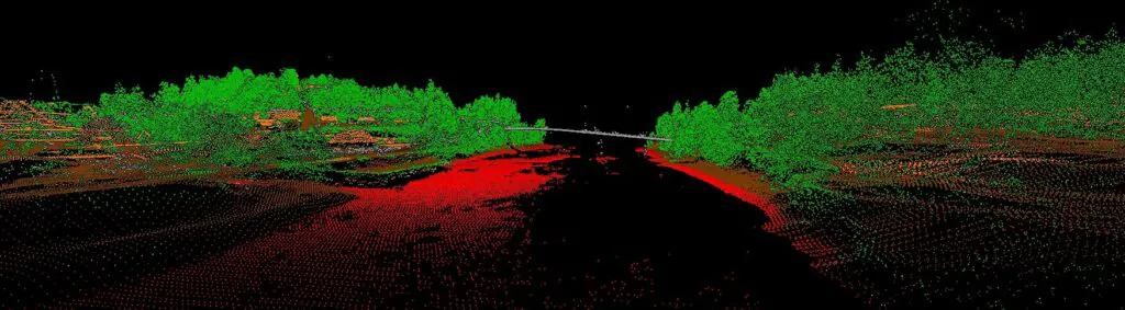
How to Improve Lidar Accuracy and Quality
As with any commodity or raw material, the quality of point cloud data, such as lidar, directly affects the quality of its derivative products. A point cloud with positional accuracy…

A Guide to Extracting Railroad Tracks From Lidar
Accurately mapping railroad corridors is essential for reliable maintenance, structural planning, and effective change detection. With Global Mapper Pro’s collection of point cloud processing, terrain analysis, and automated breakline extraction…

Satellite-Derived Bathymetry: Making Waves in GIS
Satellite-derived bathymetry, also referred to as SDB, is a method used to study the depth of a body of water from aerial imagery. While multi-beam sonar and airborne lidar are…

Bring Your Data to Life: Visualizing Data in Global Mapper
Global Mapper® is a comprehensive GIS application built to make mapping and analysis workflows more efficient for users of all levels of expertise. A key part of any GIS project…
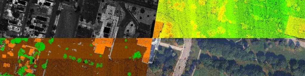
GIS File Format FAQ
When working with geospatial data, understanding file formats is essential to managing, sharing, and visualizing information effectively. From raster imagery and vector features to 3D models and point clouds, each…
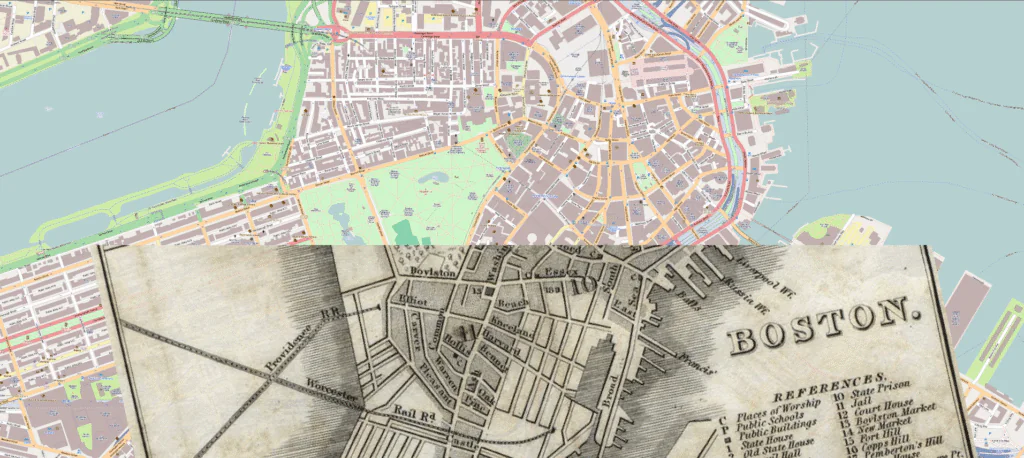
Georeferencing in GIS
A coordinate reference system (CRS) is a set of parameters that distinguish the geographic coordinates of where things are in the world. In other words, a CRS defines how your…

What’s New in Version 26.2: Usability, Animation, and Lidar Enhancements
Completing your GIS workflow should never feel like running a marathon. The latest release of Global Mapper® (v26.2) focuses on improving user experience with refreshed toolsets, expanded file support, and…

What’s that Mountain Over There? A Guide to Mobile Line of Sight and Visibility Analysis
Have you ever looked across a landscape and wondered, ‘What mountain is that?’ or ‘Which island is that just beyond the bay?’ That’s where viewshed analysis comes in. With the…
Contours vs. Breaklines, What’s the Difference?
Contours and breaklines are vector line features used to represent terrain elevation. Since both describe a terrain surface, they are commonly confused with one another, despite the fact that their…


