Success Story
Better Design Starts Before Breaking Ground
Snapshot

Client:
BayWa R.E. Wind
Challenge:
Verify wind farm designs across remote project sites before construction.

Outcome:
Validated wind farm designs before construction, reducing documentation time, minimizing design errors, and improving confidence in every project iteration.
Project overview
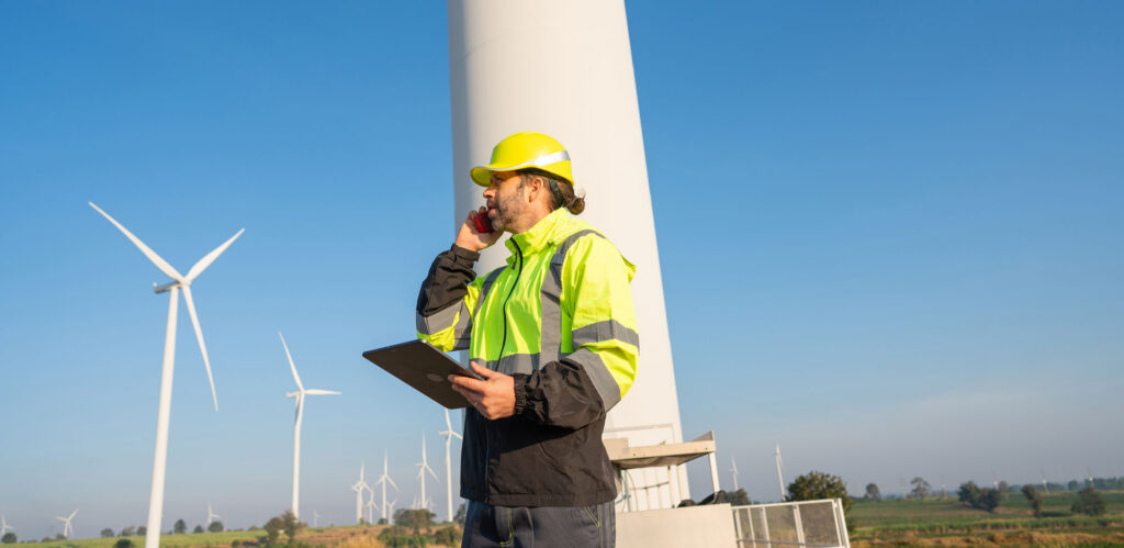
Wind energy projects depend on accurate site verification long before construction begins. Designers must validate turbine locations, access roads, utilities, and supporting infrastructure across remote project sites where connectivity is often unreliable. Success depends on connecting office-prepared designs with accurate field observations that improve every project iteration.
This success story explores how BayWa r.e. Wind used Avenza Maps to create a connected office-to-field workflow for wind farm development. By validating proposed turbine locations, capturing GPS-enabled field observations, and returning structured data directly to the office, project teams reduced design uncertainty and improved confidence before construction began.
The challenge
Wind energy projects are planned long before construction teams arrive. Turbine locations, access roads, underground utilities, and supporting infrastructure all depend on accurate site information.
BayWa R.E. Wind often works in remote locations where internet and cellular coverage are unreliable, making traditional field verification difficult. Designers relied on paper maps, GPS units, handwritten notes, and photos that had to be matched together after returning to the office. The process was slow, introduced unnecessary errors, and made it harder to validate design assumptions before construction.
Project teams needed a more efficient way to validate proposed designs, capture field observations, and resolve design conflicts before construction began.
The approach
VP of Operations Joerg Beland and the BayWa r.e. Wind team replaced disconnected field documentation with a single mobile workflow built around Avenza Maps. Designers arrived on-site with georeferenced project maps already loaded in Avenza Maps on their mobile devices. They could verify planned turbine locations, capture GPS-enabled observations, attach photos, and record design changes directly on the map. When fieldwork was complete, updated information returned to the office ready to inform the next design iteration.
Office-to-field design validation workflow
Using Avenza Maps, BayWa r.e. Wind created a connected office-to-field design validation workflow that deployed georeferenced project maps to the field, captured GPS-enabled observations, and returned structured data that improved every design iteration before construction.

Prepare Project Maps
Georeferenced wind farm layouts were prepared in the office and deployed to Avenza Maps before field visits.


Validate Field Conditions
Project teams compared proposed turbine locations with actual site conditions and verified design assumptions.

Capture Field Observations
Photos, GPS-enabled observations, measurements, and design notes were recorded directly on georeferenced maps.

Update Project Designs
Field data returned to the office and informed revisions to turbine locations, access roads, and supporting infrastructure.

Improve Every Iteration
Each field visit strengthened the next design iteration before construction began.
Results
Validate designs before construction begins
Blue Marble bridges office-prepared designs into the field, helping teams verify conditions, capture field observations, and return trusted data to the office before construction begins.

Purchase now
Instantly equip your team with the tools they need to turn geospatial data into real-world outcomes.

Try for free
Explore the full platform with your own data before choosing the plan that’s right for you.

Request a demo
Discuss your workflows with a geospatial expert and find the right solution for your team.


