
Global Mapper Fall 2026: Which Tier Fits Your Workflow?
October 8, 2026Choosing Geospatial software starts with the work you need to accomplish. Are you preparing datasets for colleagues, analyzing terrain for a project, producing finished maps, or turning drone imagery into usable geospatial data?
Global Mapper Fall 2026 introduces a new offering built around those differences. Three tiers, Essentials, Advanced, and Professional, give you a clearer way to match capabilities to everyday tasks, with software updates, support, training, and centralized license management included.
This guide walks through what each tier offers, highlights new capabilities, and helps you identify the right fit. Whether you already use Global Mapper or are evaluating it for your team, start with your required outputs and work backward.
What changes with Global Mapper Fall 2026?
Global Mapper Fall 2026 introduces a new way to access and manage the software. It moves from perpetual licenses with separate Maintenance & Support (M&S) contracts to an annual, named-user offering that includes software, ongoing releases, support, and training. Alongside new capabilities, this changes how teams select tools, manage access, and stay current.
Five key changes to know:
- One annual offering replaces the separate license-plus-M&S model. Software access, updates, support, and the training library are included for the duration of your active plan.
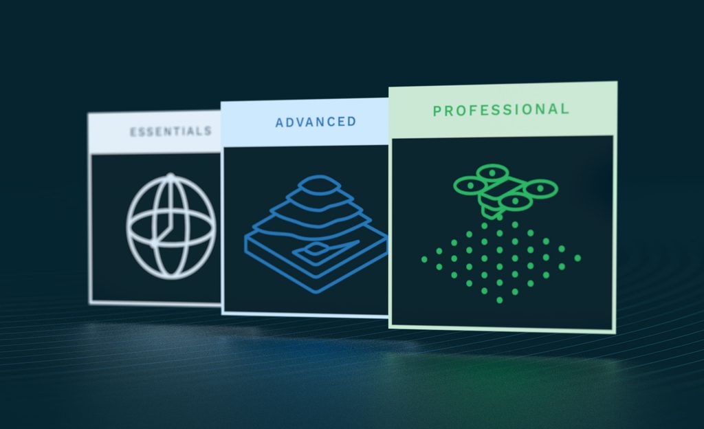
- Three tiers match capabilities to your workflow. Essentials supports core viewing and data preparation; Advanced adds analysis, automation, and cartography; Professional adds advanced lidar, photogrammetry, and imagery analysis.
- Licenses are assigned to people and managed through Blue Marble Hub. Administrators can assign and revoke seats, manage users, and issue offline access tokens from a central destination.
- Four releases each year provide ongoing improvements. Teams can adopt new releases on a schedule that fits their work.
- The Fall release adds capabilities by tier. Advanced adds improved GeoPackage styling fidelity and direct Esri server streaming. Professional adds live preview for automatic point cloud analysis and multispectral support in Pixels to Points.
The tiers build on one another: Advanced includes Essentials capabilities, and Professional includes Advanced capabilities. Start with the tasks and deliverables your work requires, then use our Global Mapper product guide to compare capabilities and choose the tier that supports them.
Who should choose Global Mapper Essentials?
Essentials fits users who need to open common GIS datasets, review information, and prepare data for its next use. It includes core visualization, file format conversion, coordinate transformation and reprojection, basic vector drawing, and access to streamed online data.
Think of a project coordinator checking incoming files or a colleague converting data into a usable format before handing it to an analyst. Those tasks need dependable data preparation without the full terrain or point cloud processing toolset.
Coordinate handling matters even at this stage. Bringing datasets into a consistent spatial reference helps colleagues interpret them correctly and gives subsequent analysis a sound starting point.
Choose Essentials if your primary work is viewing, converting, reprojecting, and preparing common geospatial data. If your deliverables depend on terrain analysis, advanced vector operations, or workflow scripting, look at Advanced.
Who Should Choose Global Mapper Advanced?
Advanced is designed for users whose responsibilities extend from data preparation into analysis and finished deliverables. It adds terrain and vector analysis, scripting and automation, advanced geodetic capabilities, and professional cartographic production. New to the Global Mapper Fall 2026 offering, Advanced also includes MAPublisher, a suite of mapping tools for Adobe Illustrator that lets you turn GIS data into publication-ready maps while preserving its geospatial information. Previously purchased separately, MAPublisher now brings professional cartographic design into the offering alongside Global Mapper’s analysis tools. It runs in Adobe Illustrator, which is required separately.
For an AEC team, that might mean generating contours, assessing visibility, calculating earthwork volumes, or comparing route options with least cost path analysis. An environmental analyst might use watershed tools to understand drainage patterns and prepare maps that communicate project findings.
The Fall release also helps preserve and share the work you have already done. Improved GeoPackage exchange retains styling, labeling, symbology, and feature classification across compatible applications, reducing the need to rebuild presentation details. Direct Esri MapServer raster and ImageServer streaming provides another way to bring source data into your workflow.

Choose Advanced if you need terrain analysis, sophisticated vector editing, repeatable scripted workflows, or professional map production. MAPublisher runs in Adobe Illustrator, so account for that host application when evaluating your setup.
Who should choose Global Mapper Professional?
Professional fits specialists who turn complex source data into detailed analytical outputs. It adds advanced lidar and point cloud processing, Pixels to Points photogrammetry, AI-assisted image analysis, and additional terrain, raster, and mesh tools.
If your work includes classifying lidar, extracting features from point clouds, or creating orthorectified imagery and 3D models from overlapping drone photographs, start your evaluation here.
New Fall capabilities make that work easier to assess and refine. A live preview in Automatic Point Cloud Analysis lets you inspect the effects of parameter changes before running the full operation. Automated tree trunk classification supports workflows where identifying individual trunks matters, including forestry and vegetation management.
Multispectral support in Pixels to Points expands the imagery you can process within your photogrammetry workflow. Together, these additions give specialists more ways to evaluate source data and create useful outputs within Global Mapper.
Choose Professional if your required deliverables depend on advanced point cloud processing, drone photogrammetry, AI-assisted imagery analysis, or specialized terrain and raster editing.
How to choose the right Global Mapper tier
Start with a representative project and list three things: your input data, the operations you perform, and the output you must deliver. Then compare those requirements with the tier capabilities.
| Your primary requirement | Start with | Why this tier fits |
|---|---|---|
| Review common GIS data, convert formats, or reproject datasets | Essentials | Provides core data viewing, format conversion, and coordinate transformation tools for preparing common geospatial datasets. |
| Analyze terrain or vectors, automate tasks, or produce professional maps | Advanced | Adds terrain and vector analysis, scripting and workflow automation, advanced geodetic tools, and MAPublisher for cartographic design in Adobe Illustrator. |
| Process lidar, build photogrammetric outputs, or use advanced image analysis | Professional | Adds advanced point cloud processing, Pixels to Points photogrammetry, and AI-assisted image analysis for creating and analyzing detailed geospatial outputs. |
Existing users should assess their tools rather than matching old edition names. A former Standard user generating contours will need Advanced. A former Pro user working mainly with terrain, vectors, and scripting may also fit Advanced; lidar and photogrammetry workflows point toward Professional.
For team decisions, document each person’s requirements. Review required formats, application prerequisites, offline access, and anticipated projects before selecting your tier mix.
For a useful evaluation, test the tier against real project data and check that the outputs meet requirements.
Consider administration and ongoing support
Every tier uses an annual, named-user subscription managed through Blue Marble Hub. Administrators can assign or revoke seats, manage users, and issue offline access tokens. Users can access their licenses, support, and the training library from the same destination.
Four releases each year provide access to ongoing improvements, with adoption planned around your team’s schedule. Include these operational benefits in your evaluation alongside feature requirements.
Explore Global Mapper with your own project data
See how Global Mapper supports your workflow by testing it with a representative project. Evaluate the tools you need, review your outputs, and use the tier comparison guide to identify the right fit.
Find your fit at our October 28 webinar
Join The new Global Mapper offering: what’s in it for your team? on October 28. Explore the three tiers, understand what changes for your team, and learn more about capabilities and license management.
Frequently Asked Questions
What is the difference between Global Mapper Essentials and Advanced?
Essentials provides core tools for viewing common GIS data, converting file formats, and reprojecting datasets. Advanced includes those capabilities and adds terrain and vector analysis, scripting and automation, advanced geodetic tools, and professional cartographic production.
Which Global Mapper tier includes MAPublisher?
MAPublisher is included with Global Mapper Advanced and Professional. It provides professional mapping tools within Adobe Illustrator, helping you turn GIS data into publication-ready maps while preserving geospatial information. Adobe Illustrator is required separately.
Which Global Mapper tier do I need for lidar processing or drone photogrammetry?
Professional includes advanced lidar and point cloud processing, along with Pixels to Points photogrammetry for creating point clouds, orthorectified imagery, and 3D models from overlapping photographs.
Do existing Global Mapper Pro users need Professional?
Your current edition name does not determine your best-fit tier. If you primarily use terrain analysis, vector tools, and scripting, Advanced may meet your needs. If your work requires advanced lidar processing or Pixels to Points photogrammetry, choose Professional.
What is included with every Global Mapper tier?
Every tier includes an annual, named-user license, four software releases per year, support, access to the training library, and centralized license management through Blue Marble Hub. Administrators can manage users, assign seats, and issue offline access tokens.


