Industries
GIS for Government & Defense
Blue Marble’s military GIS and government geospatial software connects operational planning with field operations through a connected, offline-ready workflow. Global Mapper and Avenza Maps keep mission-critical spatial data accurate from the operations center to the field.
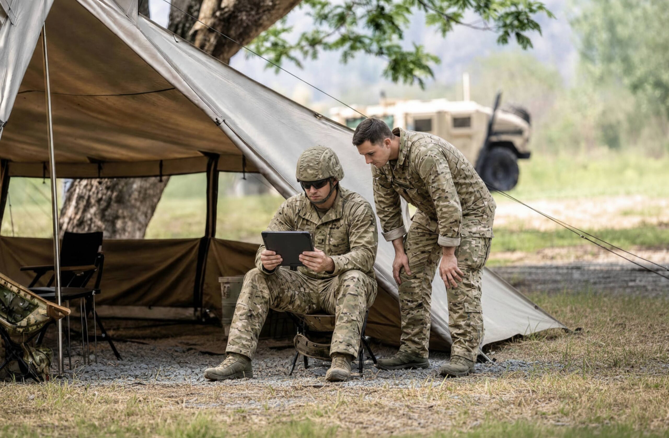
Common government and defense workflow challenges

Outdated Data Creates Downstream Risk
Terrain, imagery, infrastructure, and operational conditions change constantly. Decisions made with outdated or misaligned data reduce confidence and increase risk before teams ever deploy.

Coordinate Errors Compound Across Sites
Government data crosses reference systems, agency boundaries, and project handoffs. Unresolved coordinate issues in the office become expensive problems in the field.

Field Teams Need Verified, Offline-ready Maps
Remote sites, infrastructure corridors, and disconnected environments demand accurate, deployable maps. Without them, teams can’t navigate, collect data, or verify conditions on the ground.
Workflow

Process site data
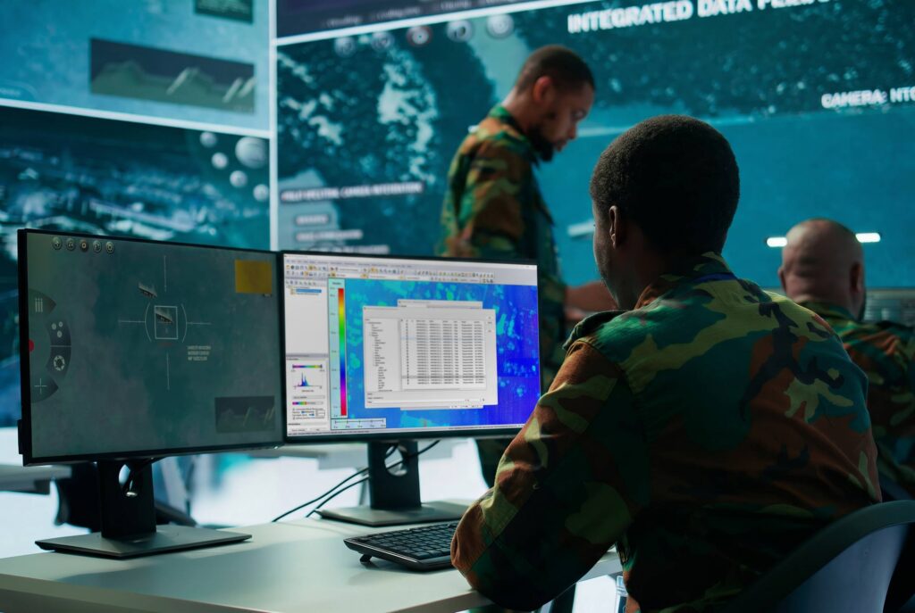
Terrain, imagery, drone data, and multi-source intel feeds


Analyze & validate
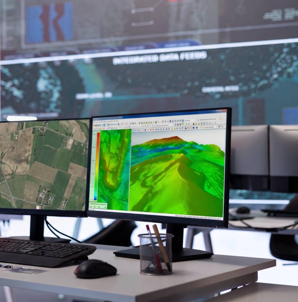
Line of sight, viewshed, slope analysis, coordinate verification

Prepare for field
Convert and format verified data for print, PDF, or mobile use

Execute in the field
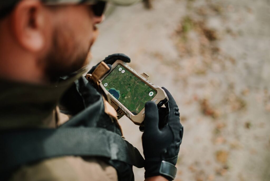
Navigate, collect, and report from any environment, online or off
From operations center to field
Blue Marble connects operational planning with field execution. Global Mapper processes and validates mission-critical spatial data, while Avenza Maps delivers verified, mission-ready maps directly to field teams. One connected workflow from the operations center to the field.
Office

Process, validate, and prepare terrain, lidar, and coordinate-aligned data for field deployment.
Field
Navigate, capture, and annotate with verified, georeferenced maps, fully offline-ready and GPS-enabled, in any environment.
Government and defense operations depend on spatial data that stays accurate from analysis through deployment. Global Mapper processes terrain, imagery, lidar, and drone data at full precision, while GeoCalc, Blue Marble’s integrated geodetic engine, resolves coordinate transformations before data leaves the operations center. Global Mapper Mobile and Avenza Maps then deliver verified, georeferenced maps to field teams, offline-ready and GPS-enabled.
Key outcomes
Purpose built for government & defense
Government agencies and defense organizations rely on accurate spatial information to support planning, coordination, deployment, and reporting. Blue Marble provides a shared spatial foundation that keeps teams aligned from initial analysis through field operations, without sacrificing accuracy.
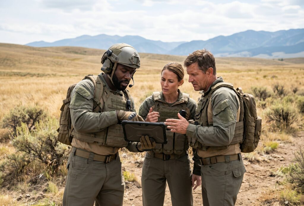
Blog posts
How to Make the Earth Flat
A commonly accepted fact is that the Earth is not flat. Globes portray the Earth in a spherical model, but in reality, Earth is not exactly a sphere either. Earth…
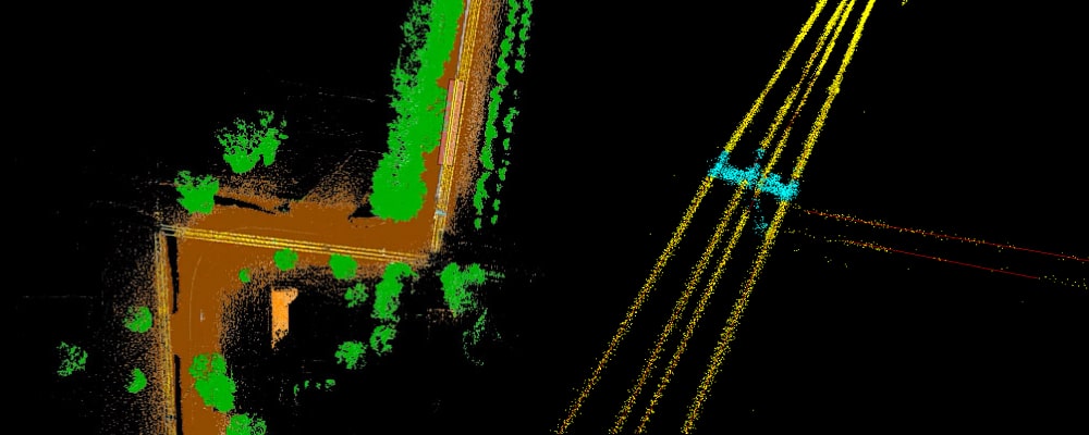
Measuring Vegetation Encroachment with Point Clouds
Overgrown vegetation can cause more problems than just an eyesore. The encroachment of trees on power lines or other utilities increases the risk of vegetation fires and power outages. As…
Point Cloud Segmentation for Road Identification
Numerous tools for lidar editing, filtering, and classification can be found within the advanced geospatial program, Global Mapper Pro. Making the analysis and processing of point cloud data easier, Global…
Trusted geospatial data for every mission.

Purchase now
Instantly equip your team with the tools they need to turn geospatial data into real-world outcomes.

Try for free
Explore the full platform with your own data before choosing the plan that’s right for you.

Request a demo
Discuss your workflows with a geospatial expert and find the right solution for your team.