Industries
GIS Software for Energy, Oil and Gas & Utilities
From oil and gas pipelines and transmission infrastructure to renewable energy projects, energy and utility organizations depend on accurate GIS data. Blue Marble provides a connected office-to-field workflow that keeps spatial data accurate from planning through inspection.

Common energy workflow challenges
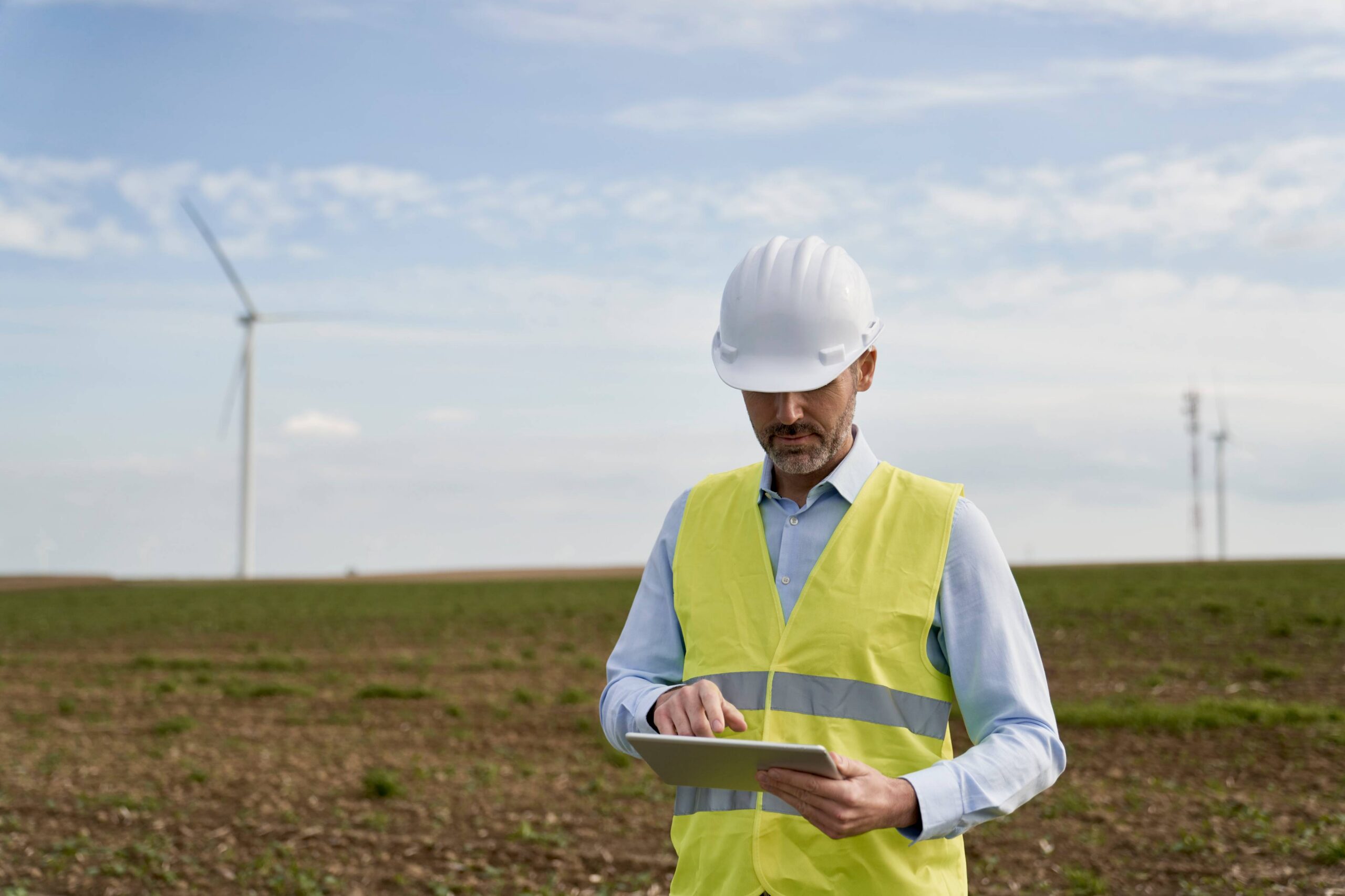
Site Selection Demands More than a Map
Evaluating terrain, land cover, environmental constraints, and infrastructure proximity across disconnected tools creates gaps and decisions made on incomplete data.
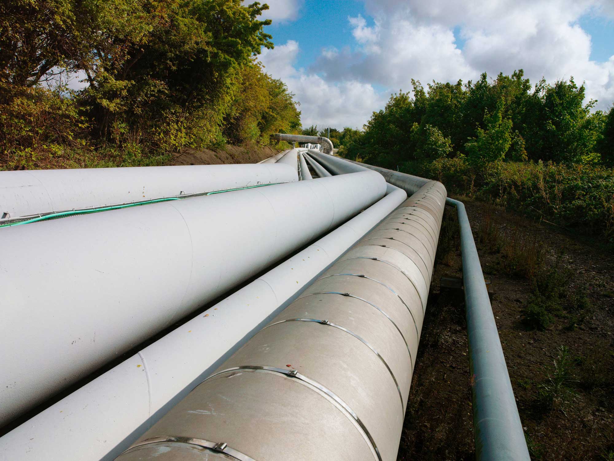
Pipeline Data Crosses Jurisdictions and Coordinate Systems
Misaligned reference systems across large project extents create downstream data errors that are expensive to resolve once field crews are deployed.

Critical Information Doesn’t Make it Back to Command
Remote oil & gas drilling sites and pipeline corridors don’t come with reliable connectivity. Field crews need verified maps and asset data that work without a signal.
Workflow

Process site data
Lidar, drone imagery, terrain


Analyze & validate
Coordinate systems, datum transformations, spatial accuracy

Prepare for field
Package, convert, deploy

Execute in the field
Navigate, inspect, capture, and send back to the office
From analysis to action
Global Mapper and Blue Marble’s GeoCalc geodetic engine, together with Avenza Maps, connect office precision with field execution, delivering a complete workflow from site analysis through inspection and documentation.
Office

Process, validate, and export field-ready spatial data, from lidar classification to coordinate alignment.
Field
Navigate, capture, and annotate with verified georeferenced maps anywhere on site, fully offline and GPS-enabled, then sync back to the office with spatial integrity intact.
Oil and gas, utility, and renewable energy projects span remote terrain, complex infrastructure, and strict regulatory requirements. Global Mapper processes large datasets, analyzes terrain suitability, classifies vegetation, and validates coordinate systems before deployment. Avenza Maps then puts verified, georeferenced maps in field crews’ hands, online or offline, so field work stays aligned with office analysis.
Key outcomes
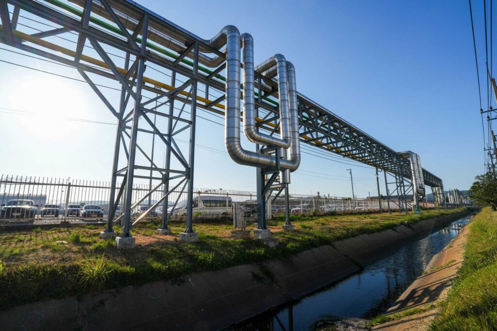


Purpose built for energy
Unlike workflows requiring separate tools for terrain analysis, coordinate management, map preparation, and field deployment, Blue Marble connects these capabilities in a single workflow built for large-scale oil and gas, utility, and renewable energy operations. Teams gain a shared spatial foundation that supports planning, development, inspection, and asset management across the full project lifecycle.
Blog posts

Exploring the Depths With Bathymetric Data
Global Mapper® has made a name for itself with support for over 380 file formats, powerful lidar classification tools, and a reputation for top-tier technical support. What’s perhaps less widely…

Bring Your Data to Life: Visualizing Data in Global Mapper
Global Mapper® is a comprehensive GIS application built to make mapping and analysis workflows more efficient for users of all levels of expertise. A key part of any GIS project…

Classifying Power Poles with the New Segmentation Option in Global Mapper
The Automatic Point Cloud Analysis tool Global Mapper Pro includes the ability to classify Power Poles using a segmentation method called “Max Likelihood”. This tool works by identifying cylindrical patterns…
Keep energy projects moving with trusted geopatial data.

Purchase now
Instantly equip your team with the tools they need to turn geospatial data into real-world outcomes.

Try for free
Explore the full platform with your own data before choosing the plan that’s right for you.

Request a demo
Discuss your workflows with a geospatial expert and find the right solution for your team.


