Skip Navigation

The Right Maps On Every Device. Before the Job Starts.

Deploy office-prepared maps to every field device before crews leave the office, ensuring everyone starts with the same trusted information, reducing startup delays, eliminating version confusion, and keeping work moving anywhere, even in offline environments.
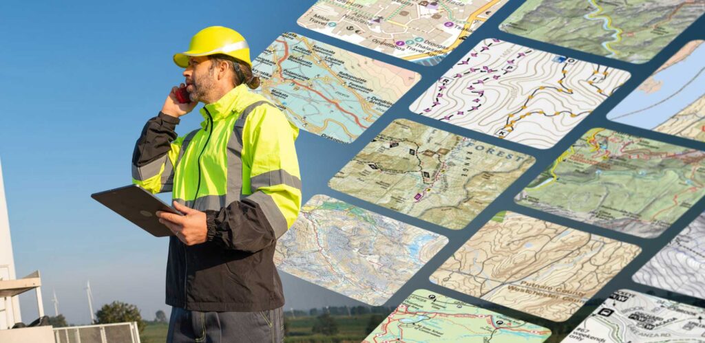
Deploy before the first crew member leaves the office.

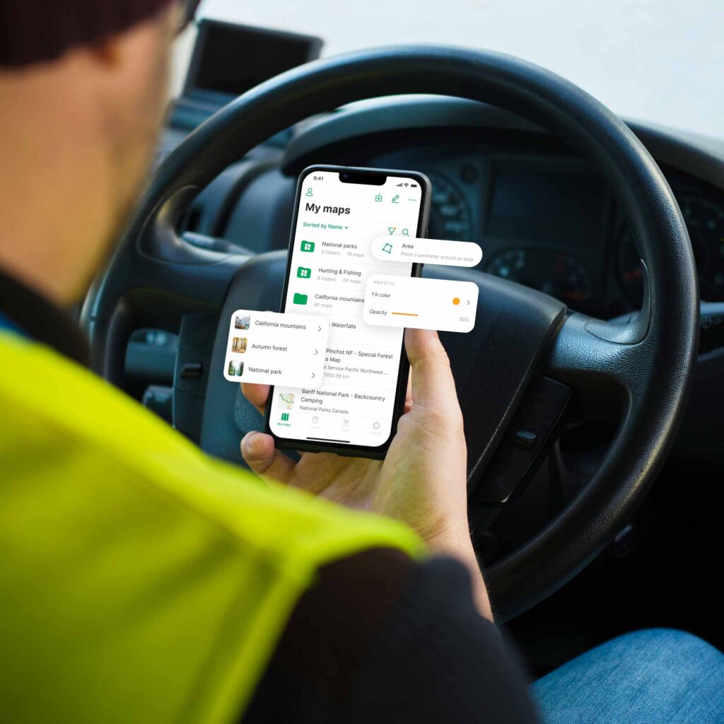
The right map is only valuable if it’s in the hands of the people doing the work. Avenza Maps makes sure it is. Authoritative, office-prepared maps are packaged and distributed to mobile devices in advance, loaded and ready for offline access the moment the field team arrives. No connection required. No last-minute scramble.
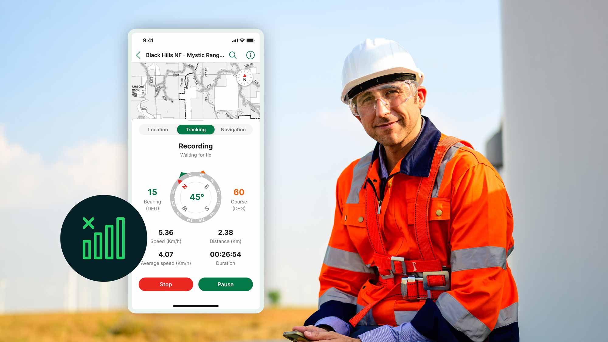
Package authoritative, georeferenced maps and distribute them directly to field devices before deployment. Teams arrive on site with accurate, pre-loaded maps ready for immediate use regardless of connectivity, eliminating startup delays and ensuring every crew begins work from the same authoritative information.
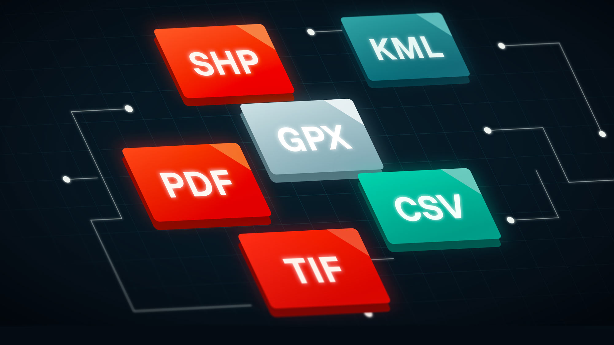
Import and deploy GeoPDF, GeoTIFF, KMZ, and other industry-standard geospatial formats without rebuilding your maps. Preserve spatial accuracy, symbology, and georeferencing while reducing preparation time and allowing office teams to deliver trusted maps without unnecessary conversion steps.
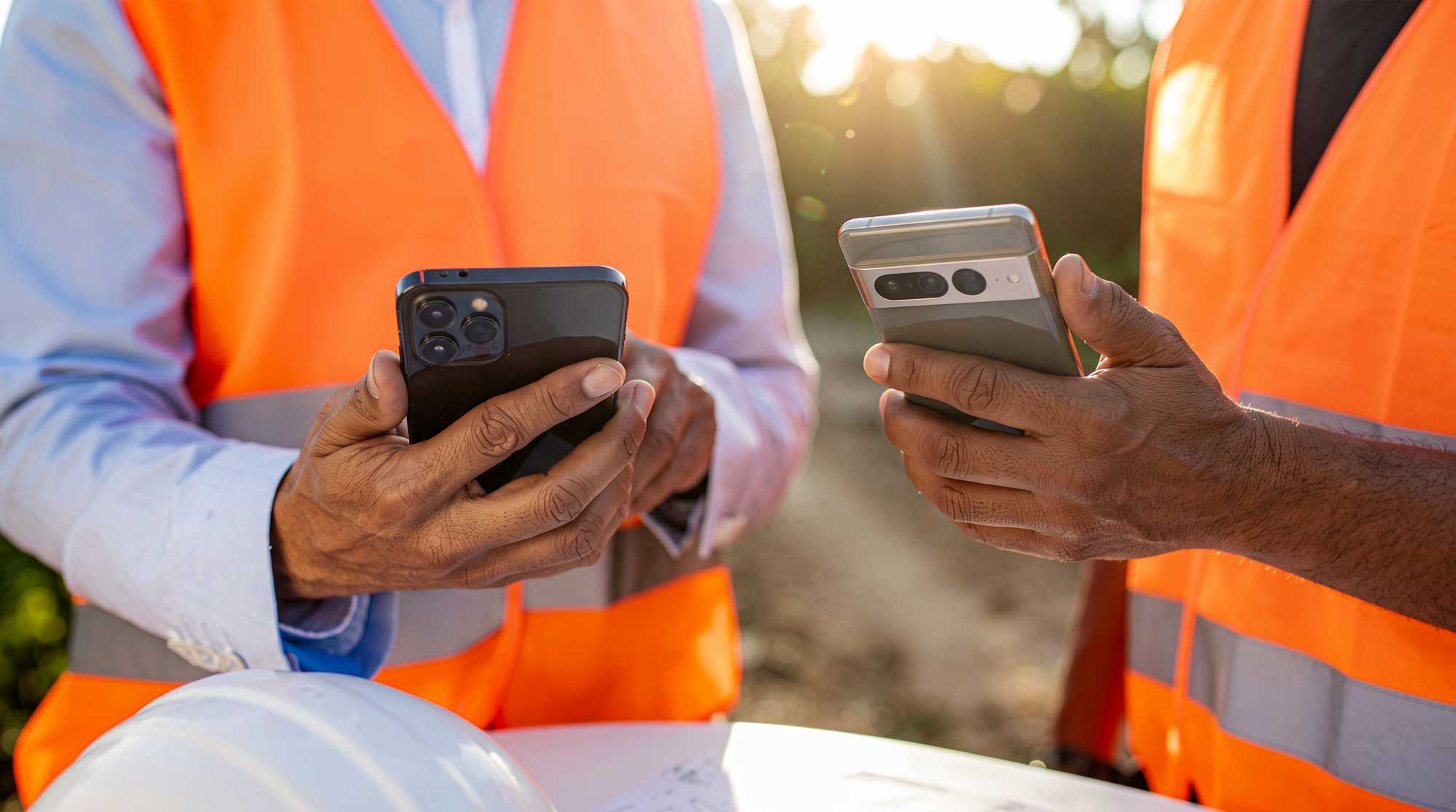
Deploy authoritative maps to the iOS and Android devices your field teams already carry. Eliminate the cost and complexity of specialized hardware while making it easier to scale deployments across contractors, partners, and distributed field crews, regardless of signal.

Field teams see their real-time position directly on deployed maps using their device’s GPS, even without cellular service. Reliable location awareness improves navigation, reduces uncertainty, and helps crews stay aligned with planned routes, assets, and work areas in any environment.

Ensure every field team works from the same authoritative map. Distribute approved office-prepared maps before deployment to eliminate outdated versions, reduce field confusion, and improve coordination across every crew and project.
Built for reliable field deployment

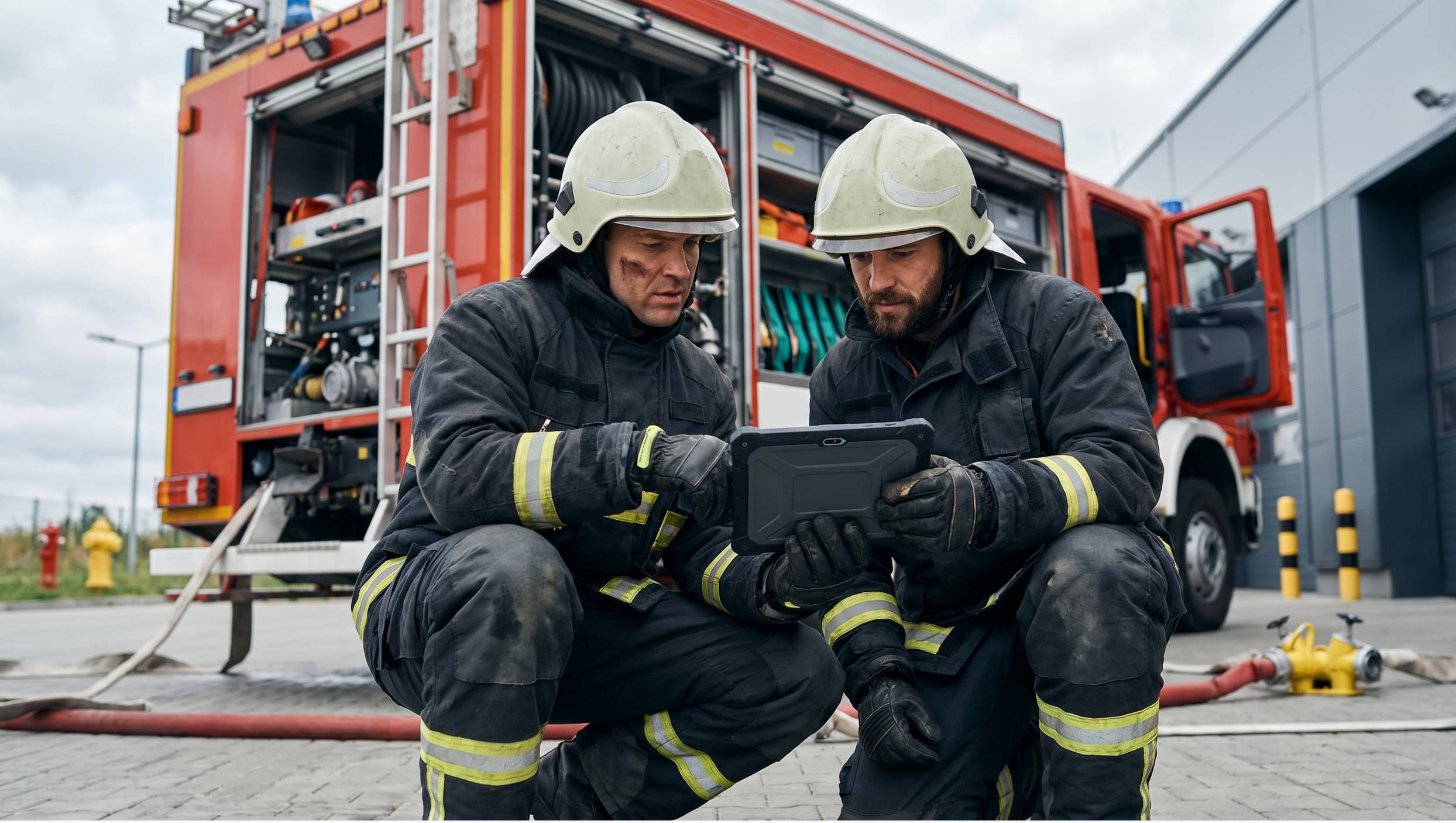
When conditions change rapidly, responders cannot afford to search for maps or question whether they have the latest version. Avenza Maps distributes authoritative incident maps to every responder before deployment, ensuring teams arrive with accurate information, maintain situational awareness without connectivity, and coordinate confidently throughout the operation.

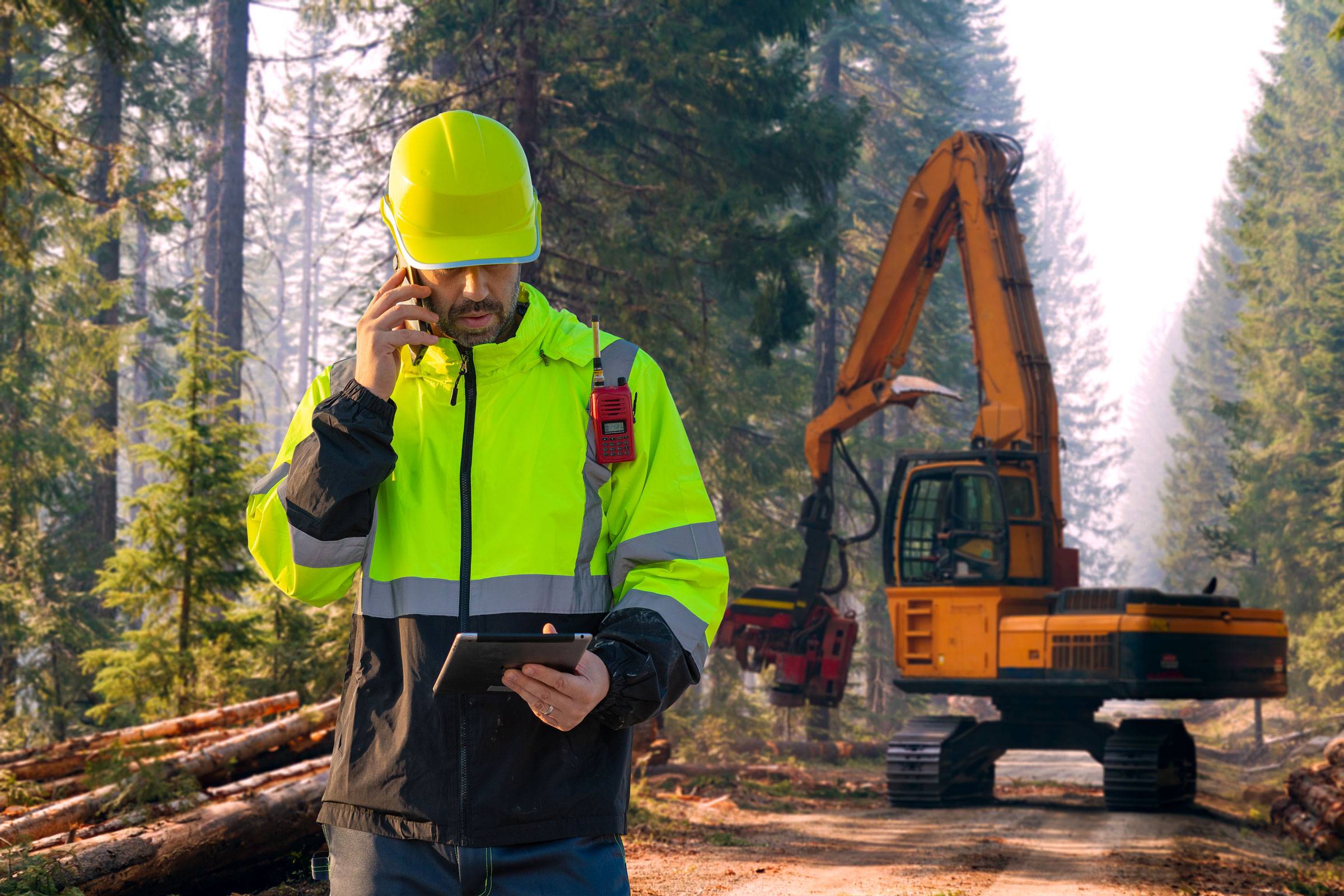
Foresters often work across hundreds of thousands of acres where cellular coverage is unreliable or unavailable. Avenza Maps distributes office-prepared harvest plans, boundary maps, and operational data directly to mobile devices, ensuring every crew begins work with the same authoritative information while remaining productive anywhere in the forest.

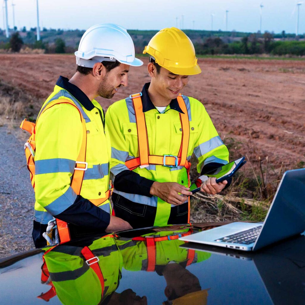
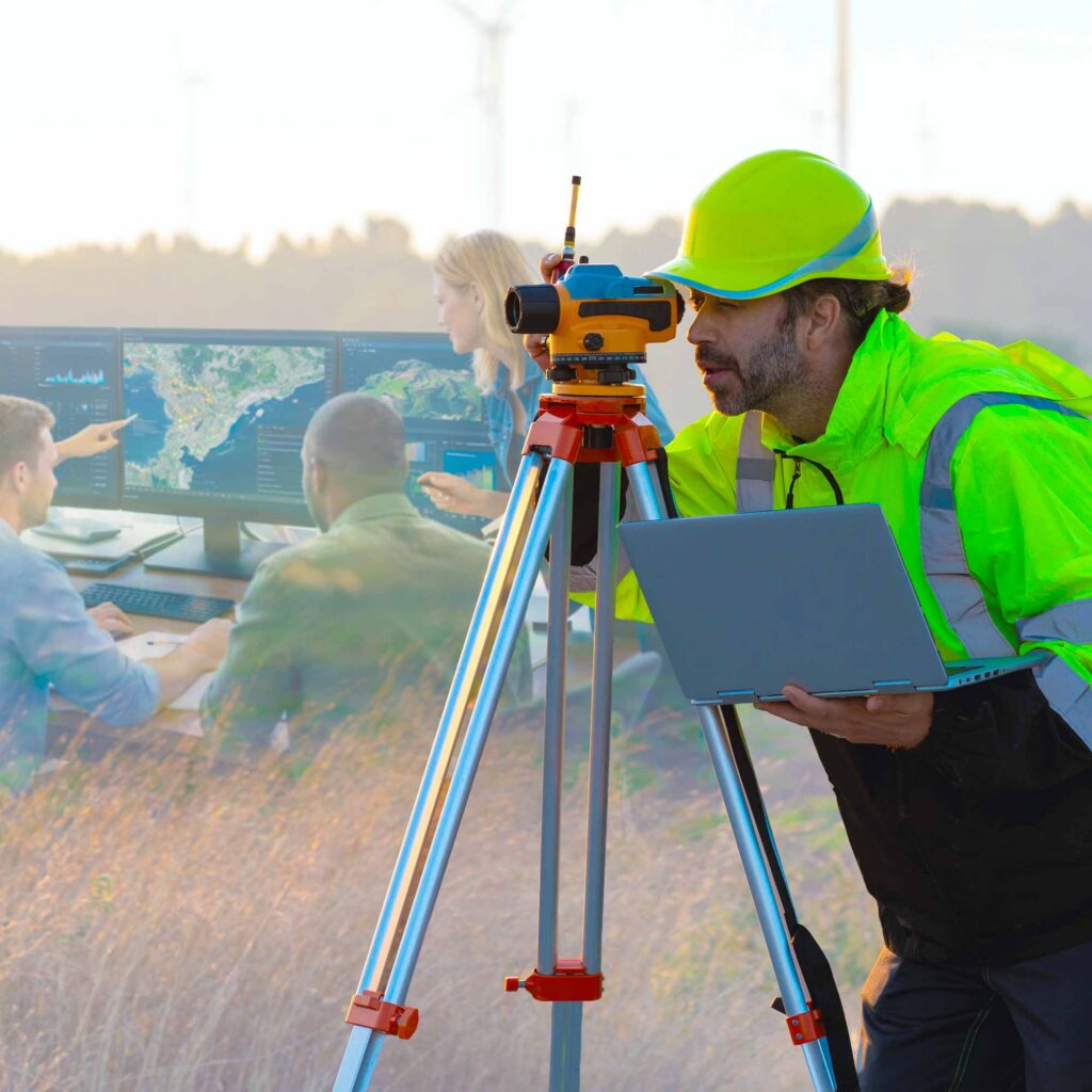
Survey crews rely on validated control, design, and reference maps from the moment they arrive on site. Avenza Maps deploys office-prepared maps directly to mobile devices while preserving coordinate systems and spatial accuracy, reducing setup time and ensuring every crew works from trusted geospatial information throughout the project.

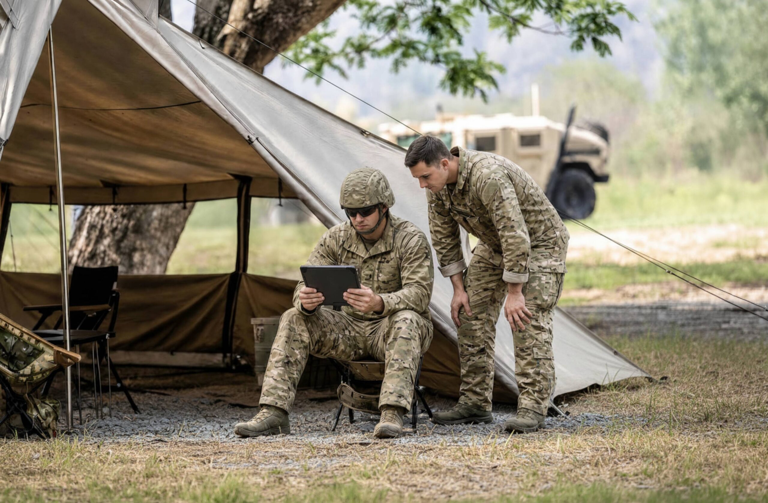
Operations in denied or communications-degraded environments require maps that function without any network dependency. Avenza Maps distributes approved maps before deployment, ensuring personnel have current, authoritative information available offline while improving coordination across teams and missions.

Frequently asked questions

Avenza Maps supports GeoPDF, GeoTIFF, KMZ, and many other industry-standard geospatial formats. Maps prepared in Global Mapper can be deployed directly without manual conversion, helping organizations maintain spatial accuracy while reducing preparation time.

Global Mapper prepares, validates, and packages maps for field deployment before they are distributed through Avenza Maps. Field teams access those office-prepared maps on their mobile devices, collect observations and updates in the field, and return structured data back to the office for continued analysis.

Together, Global Mapper and Avenza Maps create a connected office-to-field workflow that helps organizations maintain spatial accuracy from analysis through execution.

Map distribution is the process of preparing, organizing, and delivering geospatial maps from the office to the people who need them in the field. Rather than relying on printed maps, disconnected files, or outdated information, digital map distribution ensures every team member works from the same authoritative data.

Reliable map distribution ensures every field team begins work with the same authoritative maps and geospatial data. Avenza Maps enables organizations to deploy georeferenced maps directly to mobile devices, where they remain available online or offline throughout the project lifecycle.

Maps are prepared and packaged in the office, then distributed to mobile devices through the Avenza Map, direct import, file sharing, or enterprise deployment workflows. Teams arrive on site with maps already loaded and ready for offline use, eliminating delays caused by missing connectivity or last-minute preparation.

Mobile GIS deployment extends geospatial workflows beyond the office by placing maps, GPS positioning, navigation, and field data collection tools directly into the hands of field personnel. Organizations prepare data once, distribute it to mobile devices, collect observations in the field, and return structured information back to the office for continued analysis.

By connecting office preparation with field execution, mobile GIS deployment reduces manual handoffs, improves consistency, and helps organizations make faster, more informed decisions wherever work happens.

Successful field operations begin long before crews arrive on site. Distributing maps before deployment ensures everyone starts with the same verified information, reducing confusion, improving coordination, and eliminating unnecessary delays caused by missing or outdated data.

When maps are prepared in the office and deployed before work begins, field teams can focus on execution instead of locating the information they need.  Ultimately, organizations reduce startup delays, eliminate map version confusion, and get crews working sooner.

No. Maps are deployed to devices before teams leave the office and remain fully functional without an internet or cellular connection. Once loaded, users can view maps, navigate with GPS, and access critical geospatial information entirely offline, making Avenza Maps well suited for remote, disconnected, or emergency environments.

Yes. Avenza Maps works across both iOS and Android devices, making it easy to deploy consistent maps and data to teams of any size. Whether supporting a handful of field staff or hundreds of users across multiple locations, organizations can ensure everyone works from the same authoritative information.

Yes. Once maps are loaded onto a device, users can view their location, navigate using GPS, and access georeferenced maps without requiring an internet or cellular connection. Teams maintain reliable situational awareness even when working in remote or communications-limited environments.