Raster Preview Window
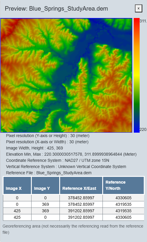
The Raster Preview Window provides a detailed overview of your loaded file, including spatial properties and visual previews.
After your file has finished loading in the Raster File Conversion tool, click on the  icon to open the Raster Preview Window.
The values displayed reflect the current georeferencing settings within the application, which may differ from the metadata stored in the source reference file. See Supporting Reference Files.
Raster File Metadata:
- Pixel resolution, or pixel size, for both X and Y directions.
- Image width and height, measured in the number of pixels in each direction
- Elevation minimum and maximum values
- Coordinate and Vertical Reference Systems
- Reference file name
- Table of referenced corner coordinates with the corresponding column/row (0,0)