LidarClassifyGround
- globalmapper.LidarClassifyGround([GM_LayerHandle_t32] aLayerList, GM_ClassifyGroundSetup_t aSettings, uint32 aReserved=0) GM_Error_t32[source]
Automatically identifies ground returns from the points in the specified loaded Lidar layer(s).
- Parameters:
aLayerList ([GM_LayerHandle_t32]) – List of layers to search or None for all vector layers.
aSettings (GM_ClassifyGroundSetup_t) – Classification settings. If None is provided, default settings will be used.
aReserved (uint32) – Reserved for future use; defaults to 0
- Returns:
Error Code
- Return type:
GM_Error_t32
BEFORE |
AFTER |
|---|---|
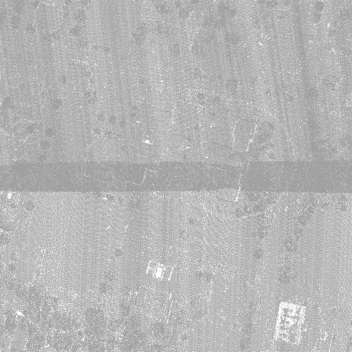
|
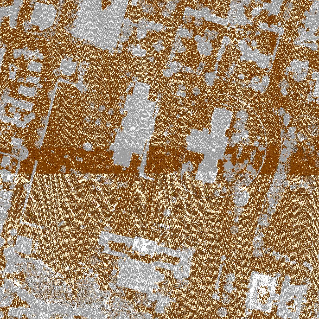
|
Example
The following is an example of LidarClassifyGround.:
gm.LidarClassifyGround(lidar_layers, gm.GM_ClassifyGroundSetup_t(), 0)
For more context refer to the lidar sample scripts.