BMP
Import
BMP files are image files that contain RGB bands. Global Mapper automatically recognizes BMP files with a *.BMP extension. BMP files can also be loaded directly out of a zip directory with the following extensions: *.tar.gz, *.tgz, *.zip, *.7z . BMP files do not contain embedded spatial information. A *.prj file in the same directory of the same name will be recognized as projection information. For more information see:
Loading Rasters of Unknown Type (elevation or imagery)
Loading Files with Unknown Projection
Export
The Export BMP command allows the user to export any loaded raster, vector, and elevation grid data sets to a 24-bit RGB BMP file.
When selected, the command displays the BMP Export Options dialog which allows the user to setup the export. The dialog consists of a General options panel that lets the user set up the pixel spacing, a Tiling panel, and an Export Bounds panel that lets the user set up the portion of the loaded data they wish to export.
Sample Spacing
The Sample Spacing section allows the user to select the grid spacing to use when generating the file. The default value is the average of the grid spacings of all the currently loaded raster and elevation overlays.
If the Always Generate Square Pixels option is checked, the smaller of the specified x and y resolutions will be used for both the x and y resolution.
Selecting Always Generate Square Pixels ensures that the resultant image file will look good even in software that is not able to deal with pixels that aren't square.
To specify the spacing in units other than those of the currently selected view/ export projection, press the Click Here to Calculate Spacing in Other Units button.
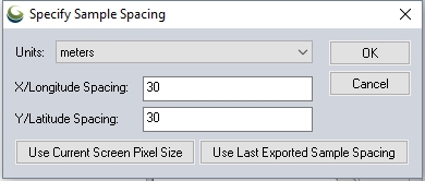
Specify the X and Y spacing of the output pixels in any of the selected units. These pixel dimensions will be translated into the units of the display projection during export. The Use Current Screen Pixel Size button will update the X and Y values to the dimensions of the map display. Use Last Exported Sample Spacing will update the X and Y values to the most recent export resolution.
Band Setup for Raster Imagery Exports
-
Default RGB Layout - This option generates a BMP file with three 8-bit bands of data.
-
Grayscale - This option generates a BMP file in grayscale, with one 8-bit band of data.
-
Multiband - This option generates a raster BMP file with 1 or more bands of data at either 8-, 16-, or 32-bits per band of data. This option is very useful when working with multi-spectral imagery with more than 3 bands of data, such as RGBI, Landsat imagery, or data sets with more than 8 bits per color channel. After selecting this option, additional dialogs will be open, to set up the multi-band export by choosing the input sources for each band in the output image.
Palette
When generating a 256 color (8-bits per pixel) BMP, it is necessary to select a palette that indicates which 256 colors will be used to describe the image being exported.
The following palette choices are available:
The palette generated will be an optimal mix of up to 256 colors that will closely represent the full blend of colors in the source images. This option will generate the best results, but can more than double the export time required if any high color images are present in the export set. If all of the input data is palette-based and the combined palette of those files has 256 colors or less, then the combined files of the input file will just be used with no additional export time being required.
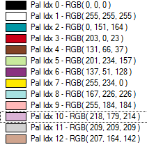
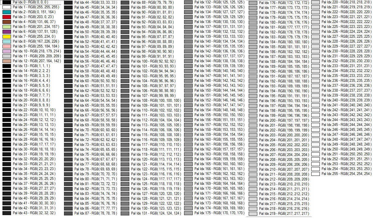
This palette consists of 256 scales of gray ranging from black to white.
This palette is optimized for the exporting USGS DRG data. The palette consists of only the standard DRG colors.
As the name suggests, this palette is optimized for exporting a mixture of USGS DRG data and grayscale satellite photos (i.e. USGS DOQs). The palette consists of the 14 standard DRG colors with the remaining 242 colors being a range of gray values ranging from black to white.
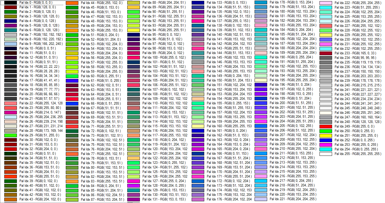
The palette consists of a blend of 256 colors evenly covering the color spectrum. This palette is the best choice when exporting anything but DRGs and grayscale satellite photos.
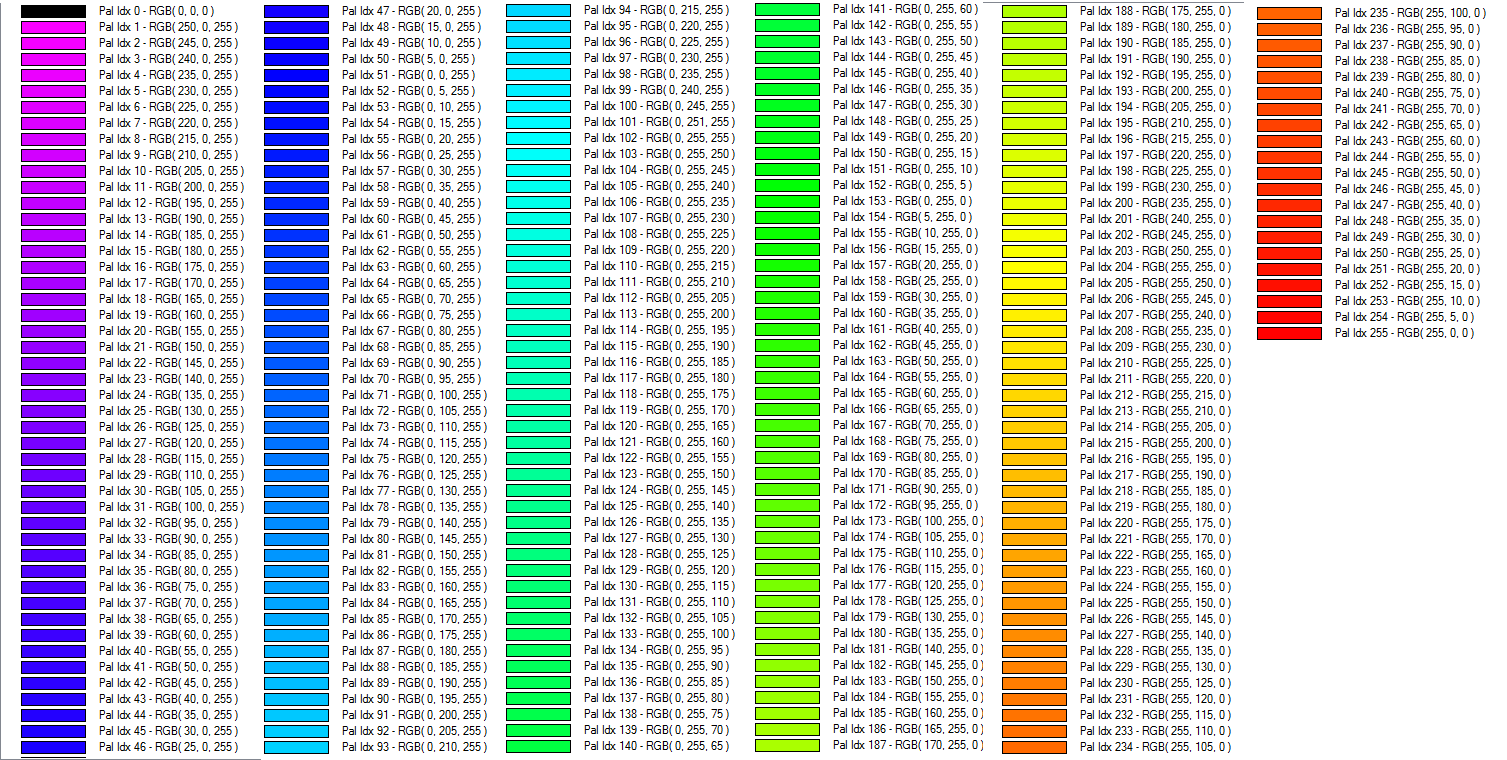
The spectrum palette consists of 256 saturated colors ranging from magenta to red. The palette goes through various shades with full 255 values for Red, Green, and then Blue successively, varying the other shades.
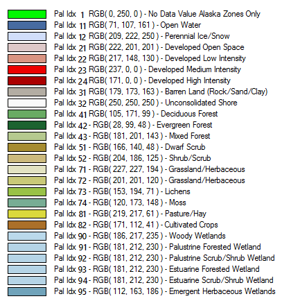
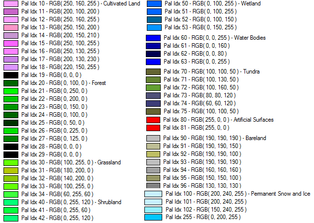
Palette for the USGS National Land Cover Database. For more information see https://www.mrlc.gov/
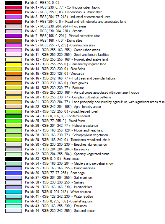
Palette from the Pan-European CORINE Landcover database . For more information see https://land.copernicus.eu/pan-european/corine-land-cover
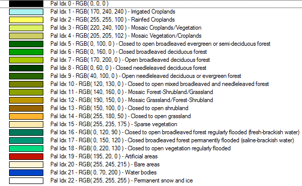
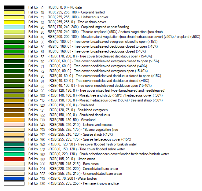
This palette comes from the GlobeLand30 land cover database. For more information see https://www.globallandcover.com/
European Space Agency Climate Change Initiative Land Cover. For more information see www.esa-landcover-cci.org
This option allows the user to choose a .pal file describing the palette to use for the export. A .pal file should be a text file with one line per color, with the red, green, and blue color components for each color in the palette separated by a comma. A .pal file for an existing palette-based file can be saved by opening the Control Center, selecting the palette-based layer, Options, Transparent Color button, then selecting the option to save a color palette file.
This palette creates an 8-bit per pixel grayscale image with no color map stored in the image. Black will be stored as zero with varying shades of gray up to white with a value of 255.
This palette creates an 8-bit per pixel grayscale image with no color map stored in the image. White will be stored as zero with varying shades of gray up to black with a value of 255.
When converting from an existing palette image, the new image will be assigned the palette index (PAX IDX) of the closest matching RGB value in the new palette.
Metadata File Formats to Generate
A range of accompanying metadata files can be generated upon export, to preserve spatial information that may not be contained in the export itself. Choose from the following Metadata file formats:
- World File (.bpw)
- PRJ (Projection)File
- ESRI .aux.xml Projection File
- ERS (ERMapper Header) File
- TAB (MapInfo) File
- MAP (OziExplorer) File
- MCF (ublox Position) File
- TXT (Text) Metadata
- Nearest Neighbor - simply uses the value of the sample/pixel that a sample location is in. When resampling an image this can result in a stair-step effect, but will maintain exactly the original color values of the source image.
- Bilinear Interpolation - determines the value of a new pixel based on a weighted average of the 4 pixels in the nearest 2 x 2 neighborhood of the pixel in the original image. The averaging has an anti-aliasing effect and therefore produces relatively smooth edges with less stair-step effect.
- Bicubic Interpolation - a more sophisticated method that produces smoother edges than bilinear interpolation. Here, a new pixel is a bicubic function using 16 pixels in the nearest 4 x 4 neighborhood of the pixel in the original image. This is the method most commonly used by image editing software, printer drivers, and many digital cameras for resampling images.
- Box Average (2x2, 3x3, 4x4, 5x5, 6x6, 7x7, 8x8, and 9x9) - the box average methods simply find the average values of the nearest 4 (for 2x2), 9 (for 3x3), 16 (for 4x4), 25 (for 5x5), 49 (for 7x7), 64 (for 8x8), or 81 (for 9x9) ) pixels and use that as the value of the sample location. These methods are very good for resampling data at lower resolutions. The lower the resolution of your export is as compared to the original, the larger "box" size you should use.
- Filter/Noise/Median (2x2, 3x3, 4x4, 5x5, 6x6, 7x7, 8x8, and 9x9) - the Filter/Noise/Median methods simply find the median values of the nearest 4 (for 2x2), 9 (for 3x3), 16 (for 4x4), 25 (for 5x5), 49 (for 7x7), 64 (for 8x8), or 81 (for 9x9) pixels and use that as the value of the sample location. This resampling function is useful for noisy rasters, so outlier pixels do not contribute to the kernel value. Some common sources of raster noise are previous compression artifacts or irregularities of a scanned map/image.
- Box Maximum (2x2, 3x3, 4x4, 5x5, 6x6, 7x7, 8x8, and 9x9) - the box maximum methods simply find the maximum value of the nearest 4 (for 2x2), 9 (for 3x3), 16 (for 4x4), 25 (for 5x5), 49 (for 7x7), 64 (for 8x8), or 81 (for 9x9) pixels and use that as the value of the sample location. These methods are very good for resampling elevation data at lower resolutions so that the new terrain surface has the maximum elevation value rather than the average (good for terrain avoidance). The lower the resolution of the export file is as compared to the original, the larger "box" size that should be used.
- Box Minimum (2x2, 3x3, 4x4, 5x5, 6x6, 7x7, 8x8, and 9x9) - the box minimum methods simply find the minimum value of the nearest 4 (for 2x2), 9 (for 3x3), 16 (for 4x4), 25 (for 5x5), 49 (for 7x7), 64 (for 8x8), or 81 (for 9x9) pixels and use that as the value of the sample location. These methods are very good for resampling elevation data at lower resolutions so that the new terrain surface has the minimum elevation value rather than the average. The lower the resolution of the export file is as compared to the original, the larger "box" size that should be used.
- Gaussian Blur (3x3, 5x5, 7x7) - the Gaussian blur methods calculate the value to be displayed for each pixel based on the nearest 9 (for 3x3), 25 (for 5x5), or 49 (for 7x7) pixels. The calculated value uses the Gaussian formula that weights the values based on the distance to the reference pixel.
Save map Layout (Scale/Margins/Grid/Legend/etc.)
Selecting thisoption will save any Layout information that is currently visible (like a Scale bar or Elevation Legend) as part of the BMP file as well.
Save Vector Data if Displayed
If any vector data is also currently selected in the Control Center, checking this option will save that data as part of the BMP export file.
Interpolate to Fill Small Gaps in Data
This option specifies whether or not any small gaps in the elevation or raster file being exported will be filled by interpolating between nearby known values.
Tiling Panel
Export Bounds
Format Updates
Below is a summary of recent changes to format support:
| 20.1 | update |