Place Picture Image on Map
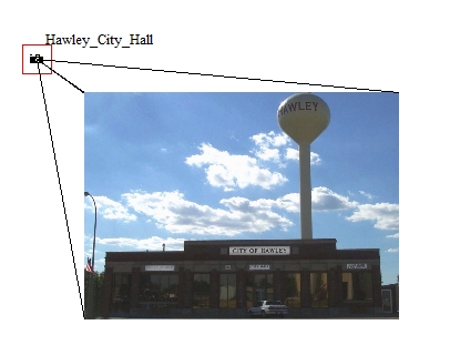
Select a picture point with the digitizer tool to see the option to Place Picture Image on map... in the right click context menu. This is also available from the Digitizer top level menu under Advanced Operations. Placing a picture on the map is useful for creating a locator or site map with embedded images that display points of interest (POI).
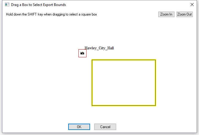
After selecting the option, draw a box in the Drag a Box dialog to locate the placement of the image on the planimetric map.
A prompt will specify whether to create leader lines connecting the corners of the image to the original picture point. Select yes to create the lines and you will then be prompted to choose a styling for the line features. These lines will be created as regular vector lines, and placed in layer with the same name as the image but with "[Edge Lines]" appended to the layer name. The image and the lines will be placed in a group layer with the image name with "Placed Image" appended to the group layer name. A box drawn directly on top of the Picture Point icon will not be drawn.
If Yes was selected to create leader lines, specify the style of the lines. The default is 1 pixel solid black leader lines, as seen below.
The embedded image will be added as a new raster image layer in the control center, and can be controlled from there like other image layers.
Example