3D Multi Layer Surfaces
The 3D view can display multiple terrain surfaces, rather than the composite of the top most elevation data.
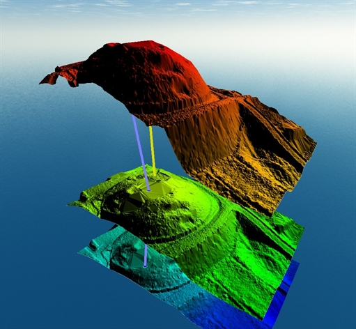
In the 3D Viewer Configuration options, check the option to Draw Multiple Surfaces for Overlapping Terrain to enable multiple layer surface display in the 3D view.
With this option enabled, terrain surfaces that cover the same location will be displayed simultaneously in a multiple layer stack. Use the Layer properties Alter Elevation values tab to modify or exaggerate the distance between layers, in addition to the vertical exaggeration tools. Raster data will drape on the top most surface layer.
This view can be used for subsurface modeling, canopy modeling, and other multiple surface layer rendering.
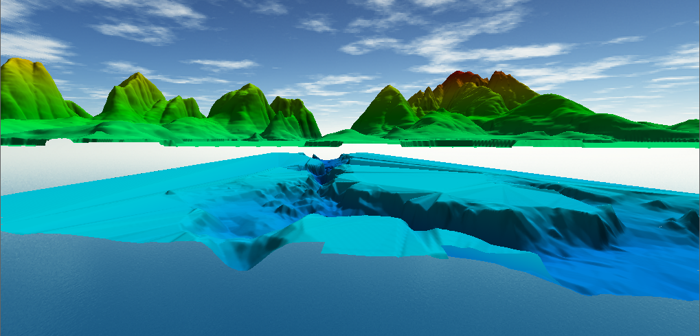
To set up multiple terrain surfaces, first load multiple elevation data layers that overlap in location.
Open the 3D view.
Open the Configuration 3D view Properties, and check the option at the top Draw Multiple Surfaces for Overlapping Terrain.