Interpolation Type
The interpolation type to be used with grid files can be specified for both horizontal and vertical grids.
Select
Options > Administrative Settings
and go to the Geodetic tab.
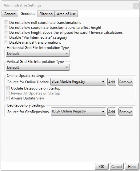
The value of 'Default' will use the interpolation type specified in the transformation definition. If another interpolation type is chosen the transformation will use interpolation type specified here for all transformations when possible.
If the specified interpolation type is not available for the transformation (some transforms don't support all interpolation types), the interpolation method specified in the transformation definition will be used.