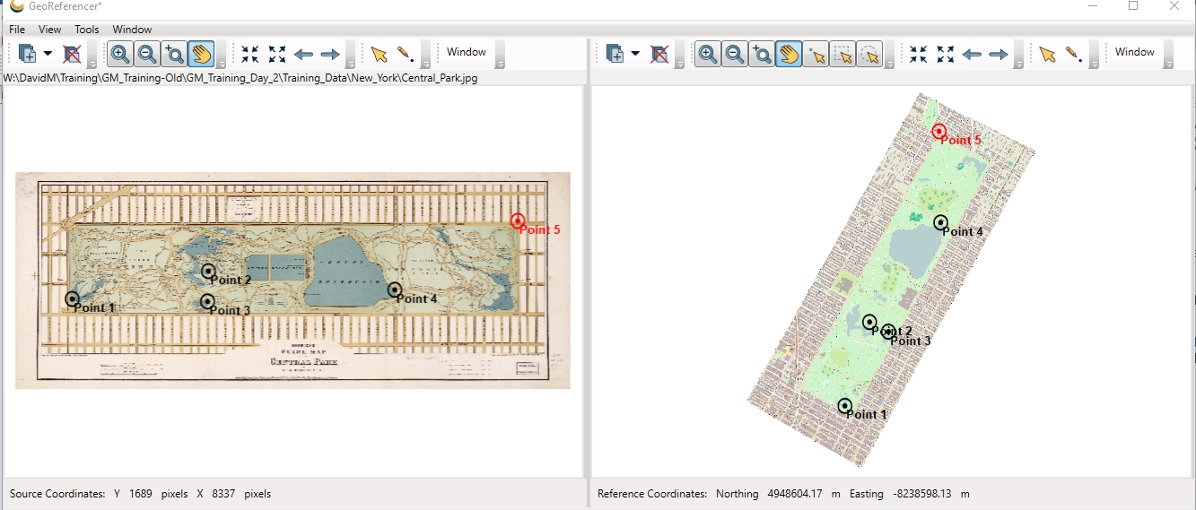
Source Data Viewer
The Source Data Viewer is used to select the locations of reference
points within the source image to be georeferenced. The bar at the bottom of the viewer displays the current location of the
cursor relative to the source image, in pixels.

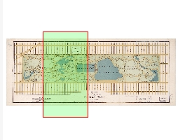
You can access or turn of the Overview
Map sub-window by selecting Window from the toolbar. The Overview Map sub-window displays a smaller view of the current
source image as well as an outlined area that indicates the current extents
of the main view window.
You will recognize most of the common control buttons from typical Windows GIS data viewing programs and can be reminded of their function by mousing over any of the buttons for a pop-up description.
There is one georeference-specific
button on the viewer, the Create New
Reference Point button ![]() . With
this button selected, clicking anywhere on the source image automatically
sets the Reference Point List control’s
Source (Across) X and (Down) Y values to the clicked image pixel coordinates.
. With
this button selected, clicking anywhere on the source image automatically
sets the Reference Point List control’s
Source (Across) X and (Down) Y values to the clicked image pixel coordinates.
You can control various Source Data Viewer preferences via the Georeferencing Preferences.