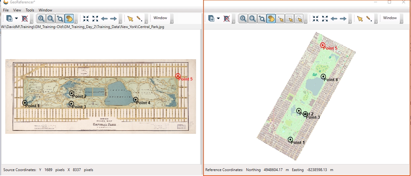
Reference Viewer
The Reference Viewer is used to select the locations of reference points within the georeferenced raster images or vector files. The Cursor bar at the top of the viewer displays the current location of the cursor relative to the source image, in pixels.
You can access additional sub-windows by selecting Window>Reference Viewer Windows:
- The Overview Map sub-window displays a smaller view of the current reference image as well as an outlined area that indicates the current extents of the main view window.
- The Raster Layers sub-window displays the name of all raster layers loaded in the Reference Image Viewer and provides a checkbox for displaying/hiding each layer.
- The Vector Layers sub-window displays the name of all vector layers loaded in the Reference Image Viewer and provides a checkbox for displaying/hiding each layer.
- The Selected Features sub-window displays details about any of the features that have been selected with the point selection, rectangle selection, or circle selection tools.
Note: All layers within the Reference Viewer must be defined relative to the same coordinate system.
You will recognize most of the common control buttons from typical GIS viewing programs and can be reminded of their function by mousing over any of the buttons for a pop-up description. There is one georeference-specific button on the viewer, the Create New Reference Point button. With this button selected, clicking anywhere on the reference image automatically sets the Reference Point List control’s Reference East and North values to the clicked reference image location coordinates.
You can control various Reference Image Viewer preferences via the Georeferencing Preferences.