Export Objects to PetrelTM CTL
To manage an existing CTL file, and/ or export objects from the Datasource to a CTL file:
-
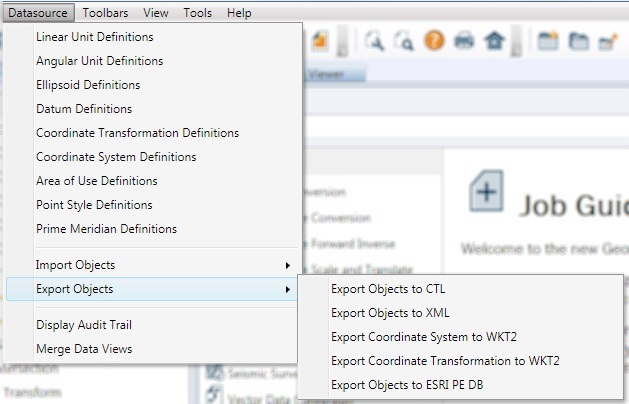
Go to Datasource > Export Objects > Export Objects to CTL
-
This will launch the CTL File Export dialog:
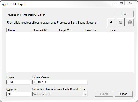
The Load button will load an existing CTL file that can be modified.
-
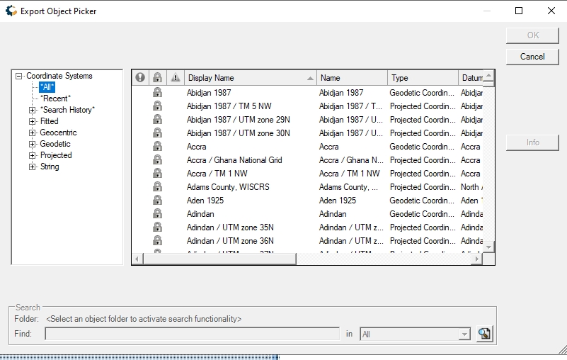
Use the + button or right-click to Add New Items for Export. This will open a datasource view to select object from the datasource for export. The objects that can be selected from the Datasource are Coordinate Systems and Single Transformations. You can also choose "Add Custom" and define a custom projection for export.
See below for more information on the relationship between GeoCalc and CTL objects.
Note: Objects imported via theImport Objects from PetrelTM CTLtool in the Datasource Menu will not appear in this selection until changes to the datasource have been saved.
The datasource is not editable from this dialog. -
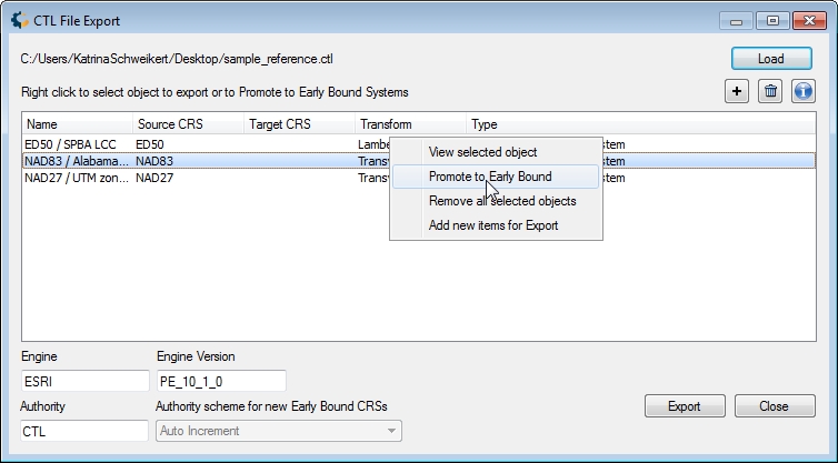
Right-click on a listed object to view object information, remove, or Promote to Early Bound.
GeoCalc Datasource and CTL Crosswalk
The GeoCalc Datasource has a different organization structure than CTL format. See below for the relationship between GeoCalc Type and CTL Type.
GeoCalc Type CTL Type Geographic or Projected Coordinate System Late Bound Coordinate System Concatenated Transformation
(Coordinate System plus transformation to WGS84)or Early Bound Coordinate System (Geographic Calculator 2020 or later).
Early Bound Coordinate System Datum Transformation Simple Transform Promote to Early Bound
Promote to Early Bound will convert a Geographic or Projected coordinate system to a Concatenated Transform, which will include both the Coordinate System and the selected transformation.
In Geographic Calculator 2020 and later it is also possible to have early bound coordinate systems as part of the datasource, when the Administrative Setting is enabled.
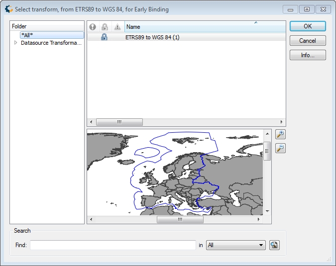
When selecting multiple objects, if all objects reference the same transformations, a single Select Transform window will be displayed. Otherwise each coordinate system will show a Select Transform dialog, noting the system in the title bar.
-
Specify the Engine and Engine Version if different than the default.
-
Specify the Authority and Authority Scheme for new systems.
This will generate an Authority Code. Any objects without an EPSG code or an existing value for the specified authority code will have one generated based on the Authority Scheme settings.
- Auto Increment - This setting will find the existing range of authority codes, and increment one from the maximum. If no authority codes exist, the authority code will begin incrementing from 700001. Auto Increment is currently the only available option for generating Authority Codes.