Adding New Definitions
You can extend the Geographic Calculator to support an unlimited number of custom objects. The parameters for each base definition are stored within an XML database file referred to as the Geodetic Datasource, a file named geodata.xml. All user-defined parameters will be stored in a file named custom.xml
Creating New Objects
To create new objects, go to the Datasource menu and select the desired
object type.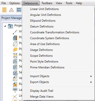
For more information on adding custom objects, modifying objects, or deleting objects from the datasource refer to the object types listed below.
See Also:
Coordinate Transformation Definitions
Note: Because of how certain numbers are stored in computer memory, only sixteen significant digits are guaranteed in coordinate system parameter values. If the input value has more than sixteen significant digits, it will be approximated as nearly as possible. This may mean that some decimal numbers could show up in the definition dialogs with slight differences in the least significant digits. For more information on how floating-point numbers are represented please refer to the IEEE Standard for Binary Floating-Point Arithmetic (IEEE 754).