


This section reviews the area styles built into Global Mapper.
Using the Area Styles panel users can configure how areas of a given type will be displayed in Global Mapper. Area fill, border style and color can be modified on a type-by-type basis. The Show Labels for Areas of This Type option allows users to turn area labels off on a type-by-type basis.
Area Types are shown in the Global Mapper Area Types table.
Global Mapper recognizes five field attributes as containing information for the display appearance of an Area Type. They are:
GM_TYPE=

BORDER_COLOR=

BORDER_WIDTH=

BORDER_STYLE=

FILL_COLOR=

FILL_STYLE=
The "FILL_ALPHA=" field attribute is recognized by Global Mapper to set an Area Type's transparency. Values for "FILL_ALPHA=" range from 0 (Transparent) to 255 (Opaque). To determine the transparency value setting simply multiply the percentage by 255 and round off to the nearest integer (e.g. 75% transparency 0.75 x 255 = 191.25, use 191).
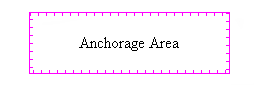
As an example, the default field attributes for the Anchorage Area Type are:
GM_TYPE=Anchorage Area

BORDER_COLOR=RGB(255,0,255)

BORDER_WIDTH=1

BORDER_STYLE=Comb (Right Only)

FILL_COLOR=RGB(255,0,255)

FILL_STYLE=No Fill
To change the type's transparency to 35% the FILL_ALPHA field attribute value should be set equal to 89 (0.35 x 255 = 89.25).
GM_TYPE=Anchorage Area

BORDER_COLOR=RGB(255,0,255)

BORDER_WIDTH=1

BORDER_STYLE=Comb (Right Only)

FILL_COLOR=RGB(255,0,255)

FILL_STYLE=No Fill

FILL_ALPHA=89
Global Mapper's View --> Background Color... color designation influences which areas can be seen. Any area whose color is the same as the Global Mapper Backgrond Color will not be seen. Example, for a white Background Color (RGB 255,255,255), the Snow or Glacier Area will not be visible.
| Global Mapper Built-In Area Types | ||||||||
|---|---|---|---|---|---|---|---|---|
| Area Type | Example | Fill Pattern | Fill Color | Border Width | Border Style | Border Color | ||
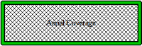
| Aerial Coverage |
|
Diagonal Cross-Hatch | 0,0,0 | 5 | Solid with Black Edges | 0,200,0 | ||
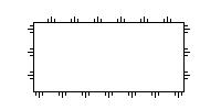
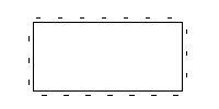
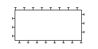
| Anchorage Area |
|
No Fill | 0,0,0 | 1 | Comb (Right Only) | 0,0,0 | ||
| Building - Floor | ||||||||
| Building - Ground | ||||||||
| Building - Roof | ||||||||
| Building - Wall | ||||||||
| City Park |
|
Solid Fill | 0,235,0 | 1 | Null | 0,0,0 | ||
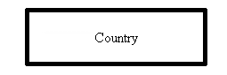
| Country |
|
No Fill | 0,0,0 | 1 | Solid | 0,0,0 | ||
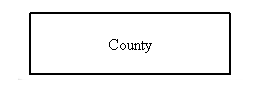
| County |
|
No Fill | 0,0,0 | 2 | Solid | 0,0,0 | ||
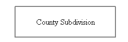
| County Subdivision |
|
No Fill | 0,0,0 | 2 | Solid | 128,128,128 | ||
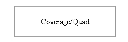
| Coverage/Quad |
|
No Fill | 0,0,0 | 1 | Solid | 0,0,0 | ||
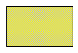
| Cropland |
|
Solid Fill | 183,183,0 | 1 | Null | 0,0,0 | ||
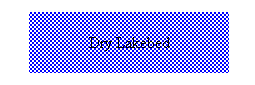
| Dry Lakebed |
|
Intermittent Water Pattern | 132,130,255 | 1 | Null | 0,0,0 | ||
| Golf Course | ||||||||
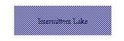
| Intermittent Lake |
|
Intermittent Water Pattern | 132,130,255 | 1 | Null | 0,0,0 | ||
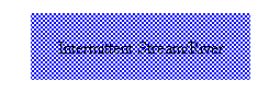
| Intermittent Stream/River |
|
Intermittent Water Pattern | 132,130,255 | 1 | Null | 0,0,0 | ||
| Intertidal Area |
|
Solid Fill | 192,240,188 | 1 | Null | 0,0,0 | ||
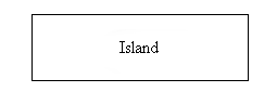
| Island |
|
No Fill | 0,0,0 | 1 | Solid | 0,0,0 | ||
| Isobath Area |
|
Solid Fill | 132,130,255 | 1 | Null | 0,0,0 | ||
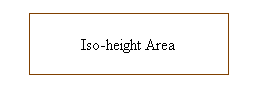
| Iso-height Area |
|
No Fill | 0,0,0 | 1 | Solid | 128,64,0 | ||
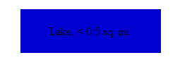
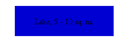
| Lake, < 0.5 sq. mi. |
|
Solid Fill | 0,0,211 | 1 | Null | 0,0,0 | ||
| Lake, > 500 sq. mi. |
|
Solid Fill | 0,0,211 | 1 | Null | 0,0,0 | ||
| Lake, 0.5 - 1 sq. mi. |
|
Solid Fill | 0,0,211 | 1 | Null | 0,0,0 | ||
| Lake, 1 - 5 sq. mi. |
|
Solid Fill | 0,0,211 | 1 | Null | 0,0,0 | ||
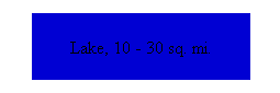
| Lake, 10 - 30 sq. mi. |
|
Solid Fill | 0,0,211 | 1 | Null | 0,0,0 | ||
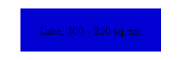
| Lake, 100 - 250 sq. mi. |
|
Solid Fill | 0,0,211 | 1 | Null | 0,0,0 | ||
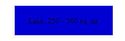
| Lake, 250 - 500 sq. mi. |
|
Solid Fill | 0,0,211 | 1 | Null | 0,0,0 | ||
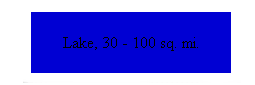
| Lake, 30 - 100 sq. mi. |
|
Solid Fill | 0,0,211 | 1 | Null | 0,0,0 | ||
| Lake, 5 - 10 sq. mi. |
|
Solid Fill | 0,0,211 | 1 | Null | 0,0,0 | ||
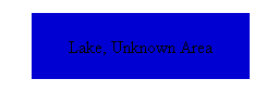
| Lake, Unknown Area |
|
Solid Fill | 0,0,211 | 1 | Null | 0,0,0 | ||
| Land Area |
|
Solid Fill | 220,212,148 | 1 | Null | 0,0,0 | ||
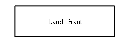
| Land Grant |
|
No Fill | 0,0,0 | 2 | Null | 0,0,0 | ||
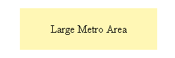
| Large Metro Area |
|
Solid Fill | 255,247,181 | 1 | Null | 0,0,0 | ||
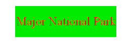
| Major National Park |
|
Solid Fill | 0,235,0 | 1 | Null | 0,0,0 | ||
| Major River |
|
Solid Fill | 0,0,211 | 1 | Null | 0,0,0 | ||
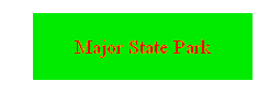
| Major State Park |
|
Solid Fill | 0,235,0 | 1 | Null | 0,0,0 | ||
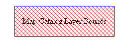
| Map Catalog Layer Bounds |
|
Diagonal Cros-Hatch | 255,64,64 | 1 | Solid | 0,0,255 | ||
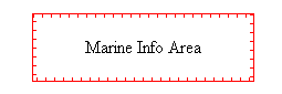
| Marine Info Area |
|
No Fill | 255,0,255 | 1 | Comb (Right Only) | 255,0,0 | ||
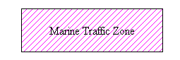
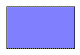
| Marine Traffic Zone |
|
Backwards Diagonal Cross-Hatch | 255,0,255 | 1 | Solid | 0,0,0 | ||
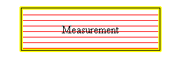
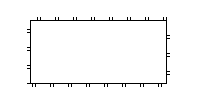
| Measurement |
|
Horizontal Hatch | 255,0,0 | 5 | Striped | 255,255,0 | ||
| Metro Area |
|
Solid Fill | 255,247,181 | 1 | Null | 0,0,0 | ||
| Minor River |
|
Solid Fill | 0,0,211 | 1 | Null | 0,0,0 | ||
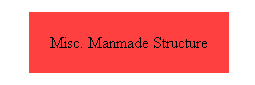
| Misc. Manmade Structure |
|
Solid Fill | 255,64,64 | 1 | Null | 0,0,0 | ||
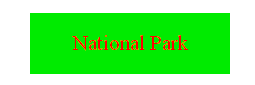
| National Park |
|
Solid Fill | 0,235,0 | 1 | Null | 0,0,0 | ||
| Ocean |
|
Solid Fill | 0,0,211 | 1 | Null | 0,0,0 | ||
| Orchard or Plantation |
|
Solid Fill | 255,128,0 | 1 | Null | 0,0,0 | ||
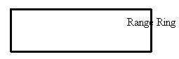
| Range Ring |
|
No Fill | 0,0,0 | 3 | Solid | 0,0,0 | ||
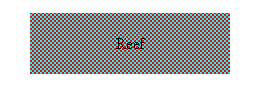
| Reef |
|
Coral Pattern | 255,0,0 | 1 | Null | 0,0,0 | ||
| Regional River |
|
Solid Fill | 0,0,211 | 1 | Null | 0,0,0 | ||
| Reservation |
|
Solid Fill | 255,0,0 | 1 | Null | 0,0,0 | ||
| Rock |
|
Solid Fill | 104,133,138 | 1 | Null | 0,0,0 | ||
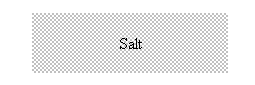
| Salt |
|
Salt Pattern | 192,102,192 | 1 | Null | 0,0,0 | ||
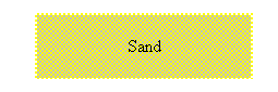
| Sand |
|
Sand Pattern | 255,255,0 | 1 | Null | 0,0,0 | ||
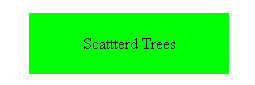
| Scattered Trees |
|
Solid Fill | 0,255,0 | 1 | Null | 0,0,0 | ||
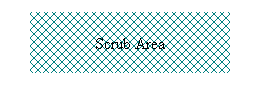
| Scrub Area |
|
Diagonal Cross-Hatch | 0,128,128 | 1 | Null | 0,0,0 | ||
| Small Metro Area |
|
Solid Fill | 255,247,181 | 1 | Null | 0,0,0 | ||
| Snow or Glacier |
|
Solid Fill | 255,255,255 | 1 | Null | 0,0,0 | ||
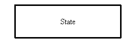
| State |
|
No Fill | 0,0,0 | 3 | Solid | 0,0,0 | ||
| State Park |
|
Solid Fill | 0,235,0 | 1 | Null | 0,0,0 | ||
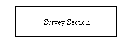
| Survey Section |
|
No Fill | 0,0,0 | 2 | Solid | 0,0,0 | ||
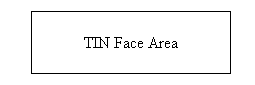
| TIN Face Area |
|
No Fill | 0,0,0 | 1 | Solid | 0,0,0 | ||
| Tundra |
|
Solid Fill | 145,177,196 | 1 | Null | 0,0,0 | ||
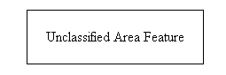
| Unclassified Area Feature |
|
No Fill | 0,0,0 | 1 | Solid | 0,0,0 | ||
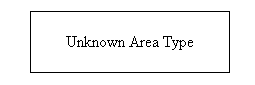
| Unknown Area Type |
|
No Fill | 0,0,0 | 1 | Solid | 0,0,0 | ||
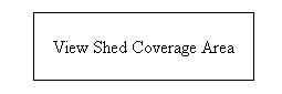
| View Shed Coverage Area |
|
No Fill | 0,0,0 | 1 | Solid | 0,0,0 | ||
| Watershed | ||||||||
| Wetland |
|
Solid Fill | 125,191,167 | 1 | Null | 0,0,0 | ||
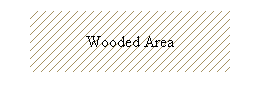
| Wooded Area |
|
Backwards Diagonal Cross-Hatch | 165,145,97 | 1 | Null | 0,0,0 | ||
| Global Mapper Fill Patterns | ||||||||
|---|---|---|---|---|---|---|---|---|
| Fill Pattern | Example | |||||||
| No Fill |
|
|||||||
| Solid Fill |

|
|||||||
| Backwards Diagonal Cross-Hatch |
|
|||||||
| Cross-Hatch |
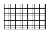
|
|||||||
| Diagonal Cross-Hatch |
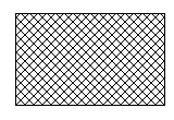
|
|||||||
| Forward Diagonal Cross-Hatch |
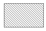
|
|||||||
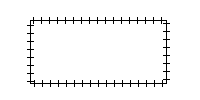
| Horizontal Hatch |
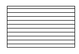
|
|||||||
| Vertical Hatch |
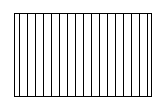
|
|||||||
| Sand_Pattern |
|
|||||||
| Intermittent_Water_Pattern |
|
|||||||
| Salt_Pattern |
|
|||||||
| Coral_Pattern |
|
|||||||
| Black_Cross_Pattern |
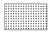
|
|||||||
| Black_Dot_Pattern |
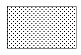
|
|||||||
| Global Mapper Border Styles | ||||||||
|---|---|---|---|---|---|---|---|---|
| Border Style | Example | |||||||
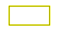
| Solid |
|
|||||||
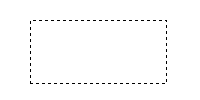
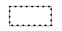
| Dash |
|
|||||||
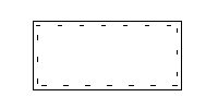
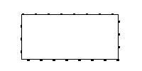
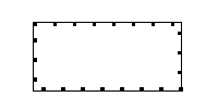
| Dot |
|
|||||||
| Dash - Dot |
|
|||||||
| Dash - Dot - Dot |

|
|||||||
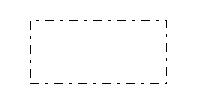
| Null |

|
|||||||
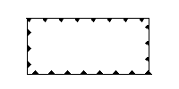
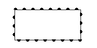
| Railroad |
|
|||||||
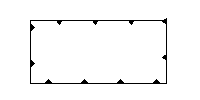
| Striped |
|
|||||||
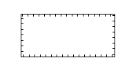
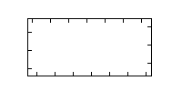
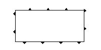
| Comb (Left Only) |
|
|||||||
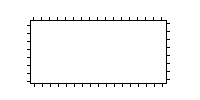
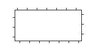
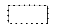
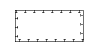
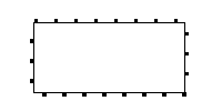
| Comb (Right Only) |
|
|||||||
| Comb (Long Teeth, Left Only) |
|
|||||||
| Comb (Long_Teeth, Right Only) |
|
|||||||
| Comb (Widely Spaced, Left Only) |
|
|||||||
| Comb (Widely Spaced, Right Only) |
|
|||||||
| Comb (Long & Short Teeth, Left Only) |
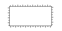
|
|||||||
| Comb (Long & Short Teeth, Right Only) |
|
|||||||
| Comb (Double Teeth, Left Only) |
|
|||||||
| Comb (Double Teeth, Right Only) |
|
|||||||
| Comb (Triplet, Left Only) |
|
|||||||
| Comb (Triplet, Right Only) |
|
|||||||
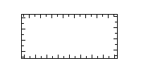
| Rake (Narrow Spaced, Left Only) |
|
|||||||
| Rake (Narrow Spaced, Right Only) |
|
|||||||
| Rake (Widely Spaced, Left Only) |
|
|||||||
| Rake (Widely Spaced, Right Only) |
|
|||||||
| Solid with Minus Signs on Left |
|
|||||||
| Solid with Minus Signs on Right |
|
|||||||
| Solid with Plus Signs on Left |

|
|||||||
| Solid with Plus Signs on Right |

|
|||||||
| Solid with Dots on Left |
|
|||||||
| Solid with Dots on Right |
|
|||||||
| Solid with Ts on Left |
|
|||||||
| Solid with Ts on Right |
|
|||||||
| Solid with Rectangles on Left |
|
|||||||
| Solid with Rectangles on Right |
|
|||||||
| Solid with Squares on Left |
|
|||||||
| Solid with Squares on Right |
|
|||||||
| Half Circles (Tightly Spaced, Left Only) |
|
|||||||
| Half Circles (Tightly Spaced, Right Only) |
|
|||||||
| Half Circles (Widely Spaced, Left Only) |
|
|||||||
| Half Circles (Widely Spaced, Right Only) |
|
|||||||
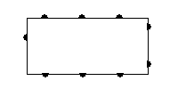
| Solid with Diamonds on Left |
|
|||||||
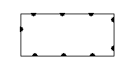
| Solid with Diamonds on Right |
|
|||||||
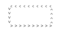
| V Track (Opens Towards End of Null Line) |

|
|||||||
| V Track (Opens Towards Start of Null Line) |
|
|||||||
| C Track (Opens Towards End of Line) |
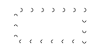
|
|||||||
| C Track (Opens Towards Start of Line) |
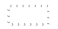
|
|||||||
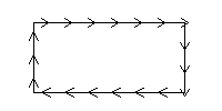
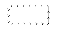
| Arrow Track (Points Towards Start of Line) |
|
|||||||
| Arrow Track (Points Towards End of Line) |
|
|||||||
| V Track (Opens Towards End of Solid Line) |
|
|||||||
| V Track (Opens Towards Start of Solid Line) |
|
|||||||
| Solid with Xs Through Line |
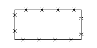
|
|||||||
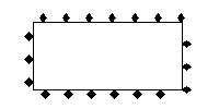
| Solid with Diamonds along Line |
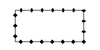
|
|||||||
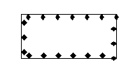
| Solid with Empty Diamonds along Line |
|
|||||||
| Solid with Circles along Line |
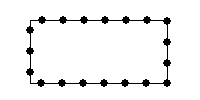
|
|||||||
| Solid with Empty Circles along Line |
|
|||||||
| Solid with Arrow Pointing to Start |
|
|||||||
| Solid with Arrow Pointing to End |
|
|||||||
| Solid with Empty Circle at Start |
|
|||||||
| Solid with Empty Circle at End |
|
|||||||
| Solid with Black Edges |
|
|||||||