On GeoCalc Projection tab, options are available to perform a Projection change or Coordinate Transformation (including Vertical), using the Geographic Calculator datasource.
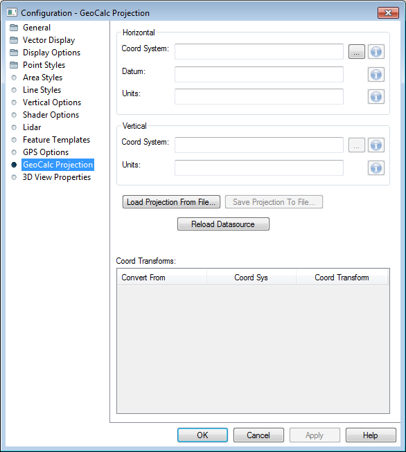
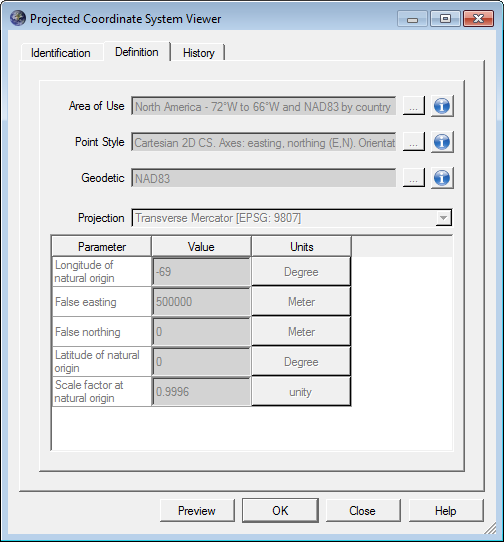
By default, this tab will display the current Coordinate System, Datum, Units, Vertical Reference and Vertical Units. Changing these values will initiate a Projection change or a Coordinate Transformation.
To save any changes made to the data's Projection, or to perform a Coordinate System/Datum Transformation, hit the Apply button after configuring the Coordinate System, Datum, Units, and Vertical Reference.
Load Projection From File... this may be used to load a coordinate system contained with in a Projection (.prj), .txt or Esri aux.xml file format.
Save Projections To File... this may be used to save coordinate systems to a Projection (.prj), .txt or Esri aux.xml file format.
Coord Transforms: When a coordinate transformation is performed, the transformation from Geographic Calculator will populate in this window. Double-clicking on the transformation line will bring the details of the transformation up in the Geographic Calculator datasource window.