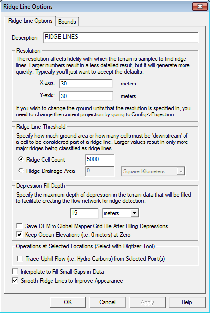
The Find Ridge Lines command allows the user to analyze the loaded terrain data to find significant ridge lines. The ridge line calculation is based heavily on the watershed generation algorithm, so see that for details on how it works. The main difference is that the ridge line operation simply inverts the terrain and where streams of water would form are now the ridge lines in the inverted terrain.
When selected, the command displays the Ridge Line Options dialog (pictured below) which allows the user to set up the ridge line determination process.